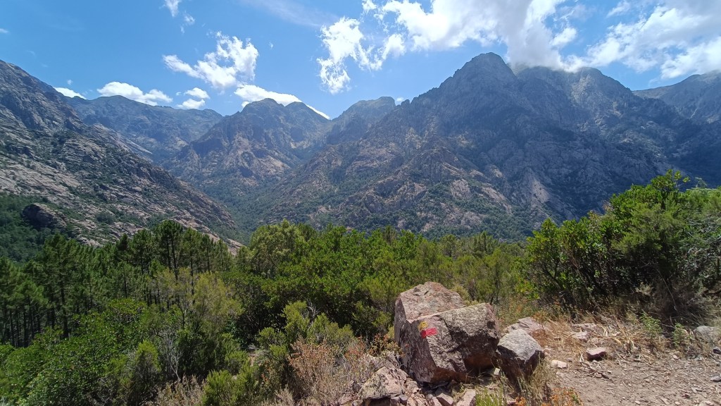
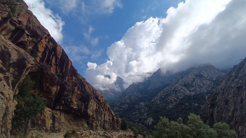
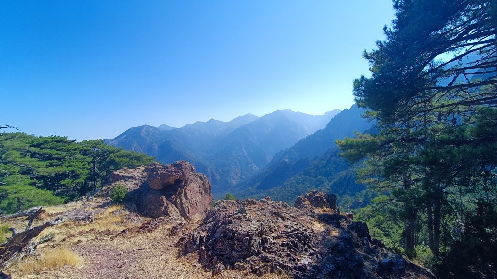
A easy going walk and extremely pastoral walk around the Serradu Plateau, with panoramic views over the Alta Rocca.

7.5km, +/- 410m, 4h00 Mainly YELLOW, some older ORANGE waymarks.
FOOD: Ste LUCIE DE TALLANO grocery stores & bakers
“A real hidden gem, untrodden, and pastoral, with a real variety of flora and fauna. Great views of the whole of the Alta Rocca, just watch out for wild boar in the woods! In autumn, take a box to harvest the black berries en-route…”
- Altagène (to Orientation table Serradu Plateau) 2h00 /3.5km
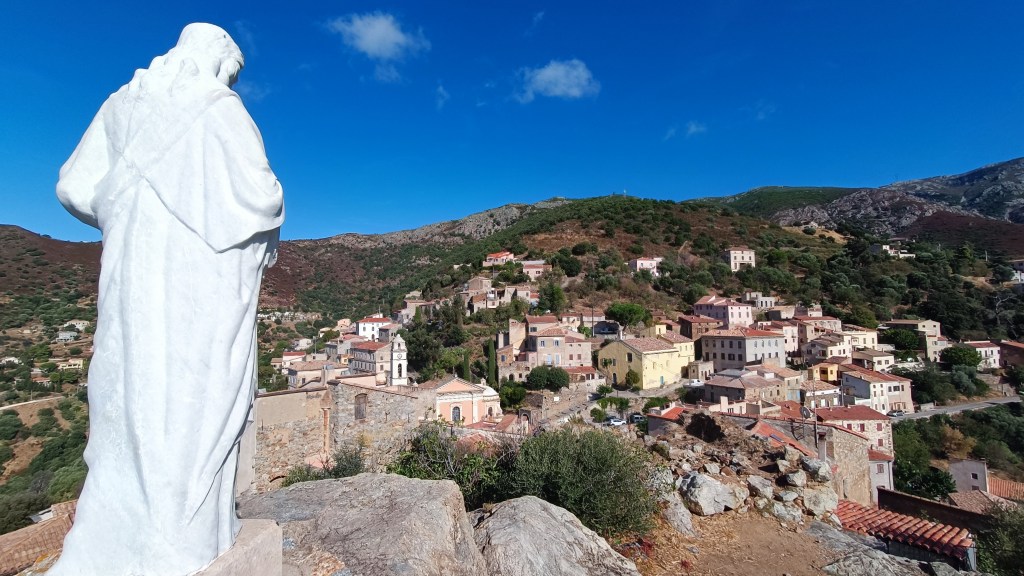
From the centre of the village, near to the sculpture of a horse, climb up the narrow lane past the mairie to the Church. Climb behind the church and take the road left, at the end of the lane switches back, you will see a sign for PUNTA SERRADO and TABLE D’ORIENTATION. The signposted path leads off to the left between the new villa and stone walls, the path climbs steeply uphill, alongside a stream, under woodland and sometimes between stone walls. Keep to the path, which is well way-marked in YELLOW and at the top of the steep climb, after approx 1km, the path flattens out considerably when heading right. An arrow points downhill the way you came, ignore this. After 500m more woodland the path opens as you reach a track. Follow the track uphill for 25m, head left uphill on a grassy path into high ferns and low maquis.
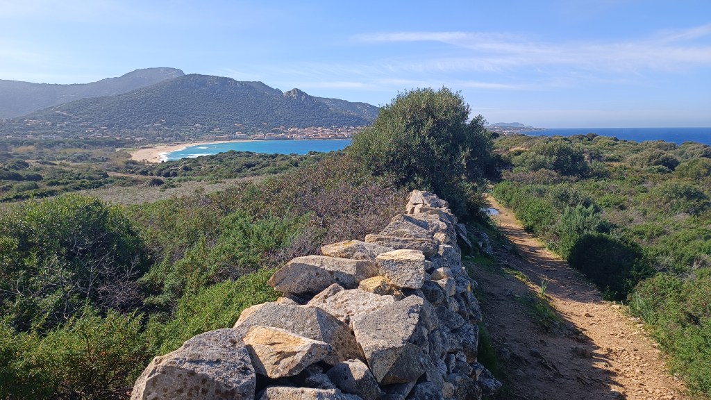
This path will take you gently onto the plateau, climbing at first between two knolls, the path soon flattens. Follow the wide path, following the waymarks, the path initially follows a wider lane, then cuts off left, through ferns and heather, views open up to the hills around. After about 1km on this gentle open path, the path cuts right into woodland, gently climbing towards the end, and only emerging to discover the ORIENTATION TABLE and hut / phone mast surrounded by a sea of ferns.
- Orientation table (to Punta Serradu) 1km / 0h30
With your back to the ORIENTATION TABLE and phone mast, take the wide track through the ferns south passing the other mast (which is on your left). Continue on the track as it becomes clearer, widens and then falls, it then flattens again, continue straight ahead through two large oak trees. Only leave the main track to the left at a small hut and another large oak, on a gently climbing track. You soon see a larger bergerie with views off the plateau. Follow the grassy path as it gently climbs away from the bergerie to a flat walled area behind the SERRADU summit rocks.


- Serradu Summit (to Altagene) 3km / 1h30
Cross this area and the path soon starts dropping down gently through boulders, to a large track (after about 350m). Cross straight over this larger track and continue in a southerly direction, on a flat open track, the track enters woodland, falling a little, opening up again before crossing the large track again (after another 350m). Continue straight on.
The track enters into a dense wooded “tunnel” before opening out again with views to your left, the track becomes little more than a path and plunges again into woodland dropping down more steeply now. After 1km, the path takes a distinct right at the end of the descent (wooden signpost ALTAGENE / PUNTA DI SERRADO). You soon reach a track which you cross (LENTISQUES panel in the trees ahead) to find another signposted falling path through the woods for another 500m. Cross again the next track to your left and find the path again on your right that drops into the woods before flattening out as it arrives back at the village of ALTAGENE.

