To access the walk you need to drive to the PARKING area behind CALA DI FORNELLU beach, off the main SARTENE to BONIFACIO road, just to the North (500m) of the first turn off to MONACCIA D’AULLENE. Driving south, the turn off is on the left – you will see a yellow walking signpost and immeadiately crosses a cattle grid, the lane then crosses a bridge, and runs as a dirt track parallel to a stream. After about 1km on the dirt track, you reach the parking areas behind the beach.
Another good out of season walk but saying that we did this on 14th July ! In season the beach at Roccapina can be busy, The beaches and coves en-route are quiet, the path is badly waymarked and at times overgrown but is is not well trodden and you may not see a soul en-route !
8km each way, 3h15, +/- 250m, not well marked.
- Cala di Fornellu (to Tour d’Olmeto) 1.5km / 0h30
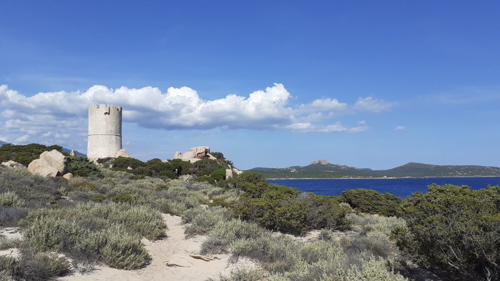
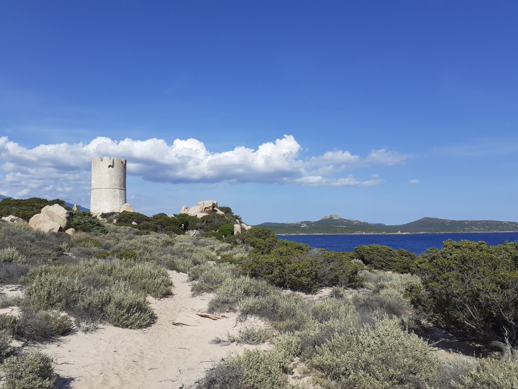
The walk starts from behind the beach at Cala di Fornello, facing the sea at the boat access point, turn right along the dirt lane until the track ends at a ramshackle area, then head left onto the end of the beach, and climb the stone steps up the wall at the far end. The sandy path leads off the left along the coast through mid height maquis, easy going under foot it is not long before you arrive (after around 25 minutes) at the TOUR D’OLMETO.

- Tour d’Olmeto (to huts at Funtanniccia) 2.5km / 1h00
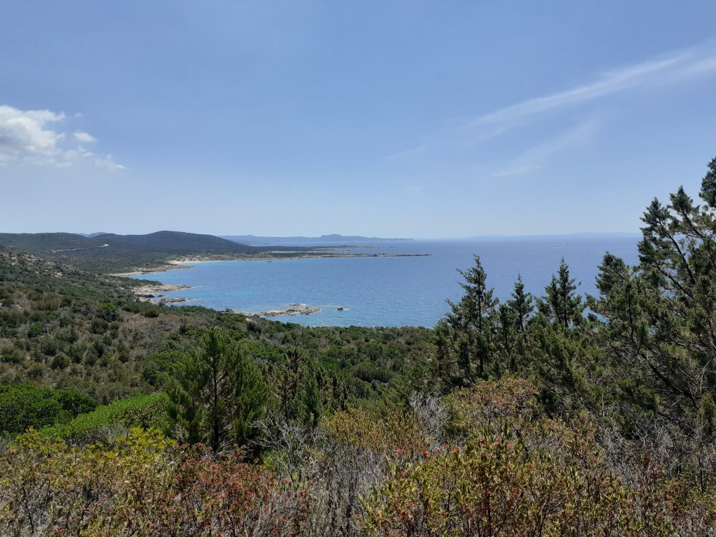
The path after the tower follows the coast more or less, there are some cairns but it is not waymarked so you need to be attentive and know where you are on the map at all times. Head past the tower straight ahead towards the headland only bearing right when you are nearing the coast. Following the odd cairn you soon reach a rough pebbly beach before heading accross a second headland through low maquis. The trace is easy to follow after a while. After this headland the path arrives at another cove, crosses again from an open area into maquis and then again crosses behind another beach, this time sandy, which you drop down onto via a roped path. Cross the beach and the path again climbs at the far end up a gully and off then to your left around a higher and rocky coastline. The path at this point is easy to follow and arrives onto a wider track near to some rickety huts at the place on the map called FUNTANNICCIA.
- Huts Funtannicia (to Plage de Roccapina) 4km / 1h45
Continue along the coast, the path scrambles in places but keeps to the coast and reaches another smaller cove, the last before ROCCAPINA (at the time we walked here this was full of posedonie seaweed). The path leaves initially perpendicular midway along the beach on a path into the maquis. After just 50m turn left, onto another path. The path begins to climb a little before levelling and hugging the coast for another 750m before starting a distinct climb to a track which you reach around 1km after leaving the beach. Turn left along this, the track is easy to follow, and you will hear the road above you. Follow this all the way to ROCCAPINA, dropping down the hairpins at the end to arrive at one of the parking areas at the end of the beach.


This walk can be joined with the LION DE ROCCAPINA walk.


