An easy going flat walk along the south western coast of the island, with surprising landscapes. La Testa is an unspoilt area full of wild beaches, protected by the Conservatoire du Littorale. You will see traces of the pastoral history of the area and take your binoculars if you are a twitcher.
An easy but long, family friendly walk, take a picnic and enjoy one of the untouched beaches of La Testa.
The walk starts near the town of PIANOTTOLI-CALDARELLO, travelling out of town south towards BONIFACIO, cross the PONT DE FIGARI then after 300m take the small road towards your right signposted LE GOLFE towards FIGARI port. After 300m and just before the road becomes more of a dirt track park at the water’s edge.
12km / 4h00/ +/- 115m / LOW WAY POSTS
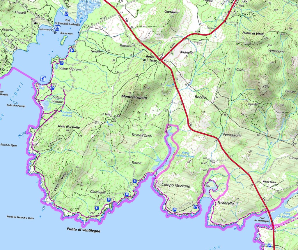
- Baie de Figari (to Parkings La Testa) 2h00/ 6km
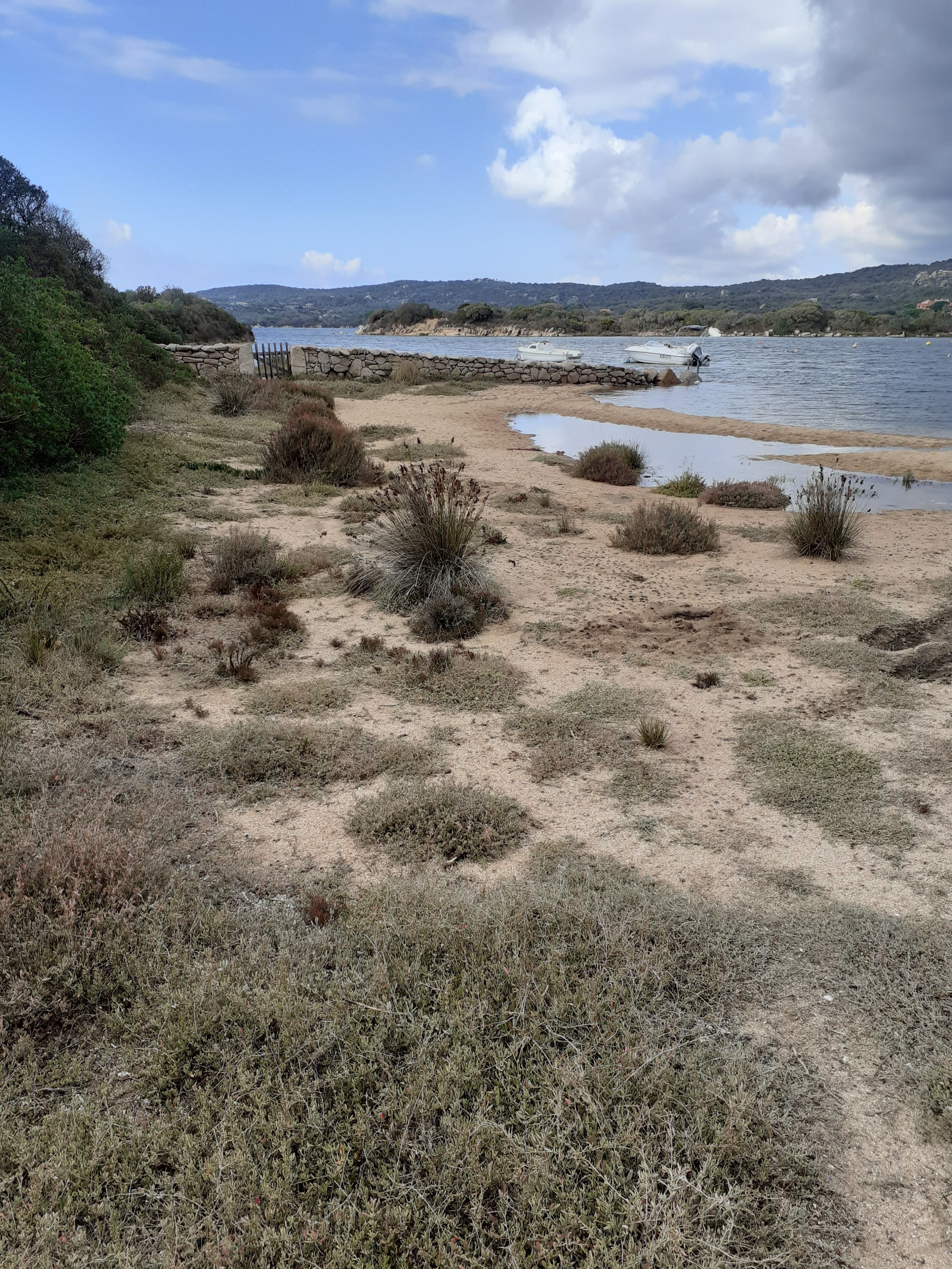
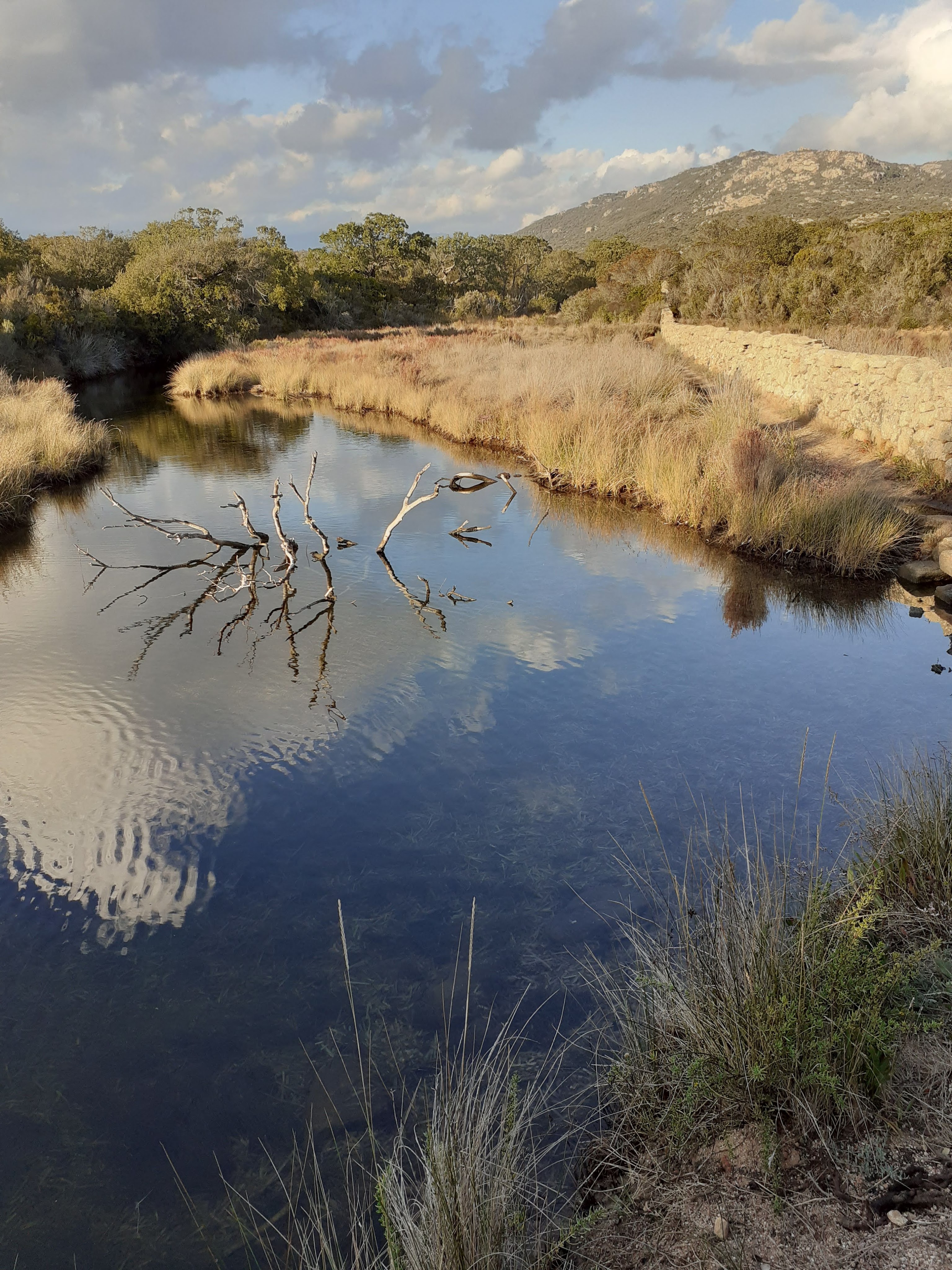
Your walk starts taking the dirt track continuing in the direction you came in, the path turns off to the right through a gate, take this, moving away from the track. You ignore the first right hand turn towards the sea (which takes you back to the small harbour beach), and take the second right to head towards the beach and dunes further away from the port. Walk roughly parallel to the beach, either along the beach or just in the dunes on the marked path, the first 30 minutes / 1.5km you join beaches and then head through the trees to the next on the maze of paths, on the other side of the Golfe ahead of you the tower at PIANOTTOLI comes ever closer as you move forward. The maze of paths collide near to the last parking area near a wall across the beach and a sailing school hut. Cross the beach and pass the sailing school, continuing around the headland keeping next to the sea. You see a first salt marsh (dry in season) to your left. Continue along the beach, then follow the path as it again runs parallel (more or less) to the coast. You soon pass another salt marsh and a sign pointing left for a spring FONTAINE DE BRUNO – keep right and continue to follow the path roughly parallel to the coast.
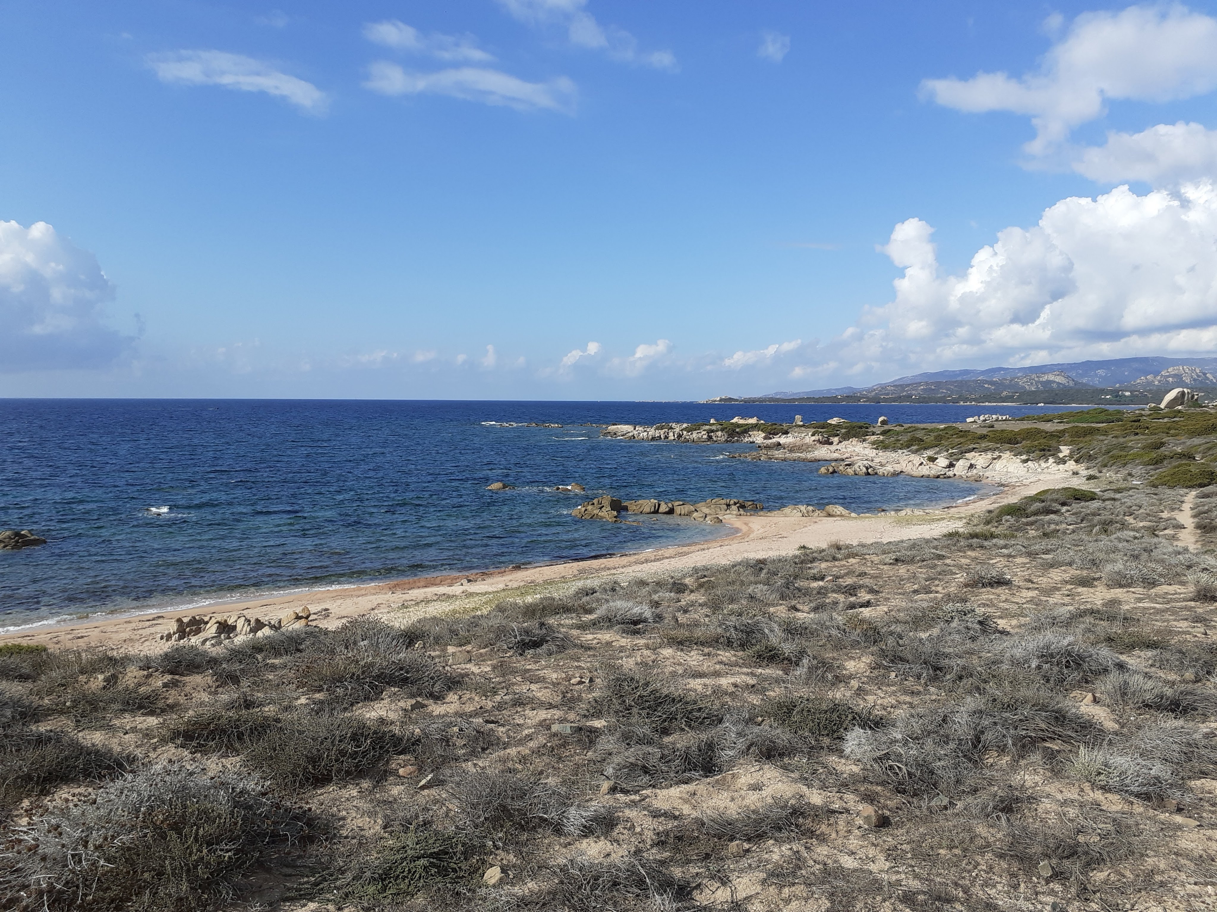
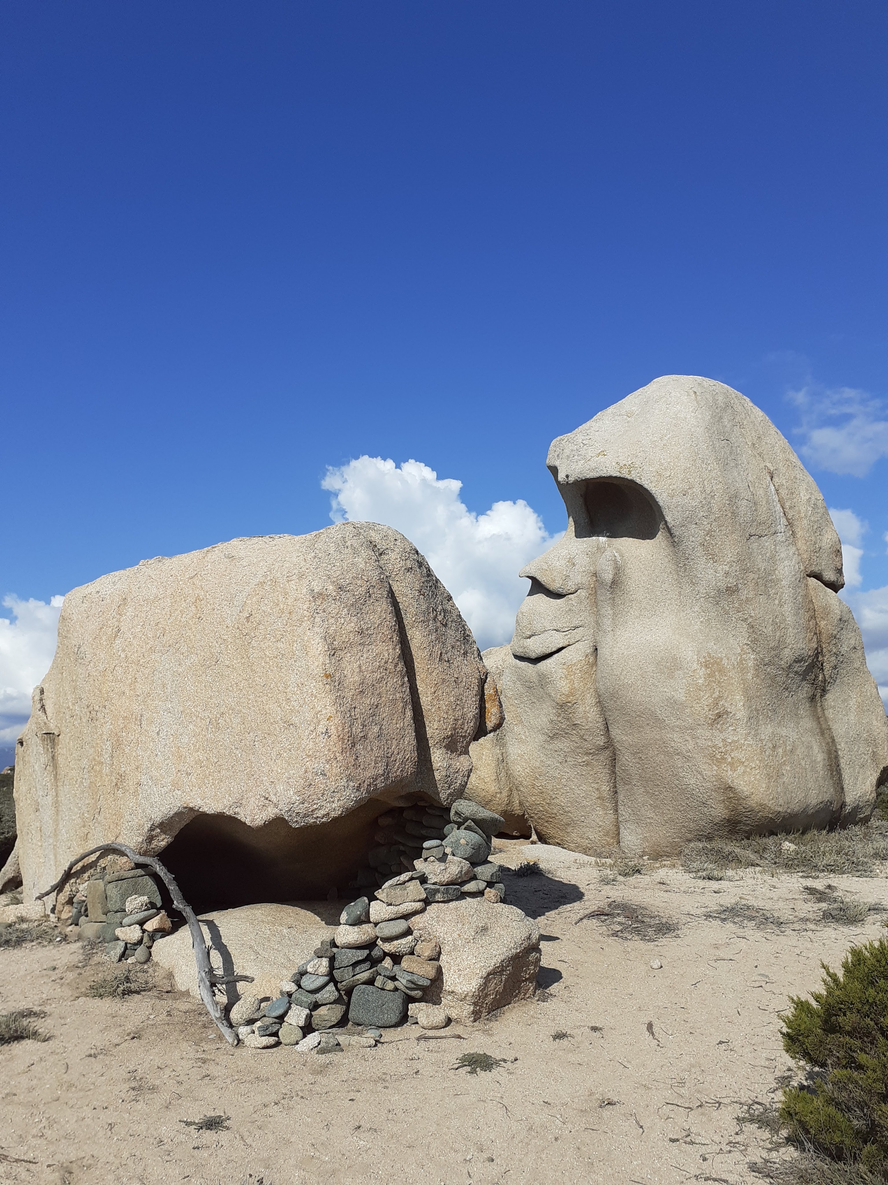
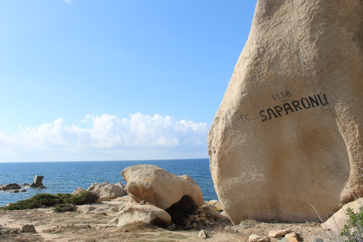
Continue around the coast, the path is easy to follow and roughly flat, the headland is windswept and wild, with low vegetation and wind sculptured rocks – note the rock marked SAPARONU and a rock shaped like a head short way after – the sea is never far to your right.
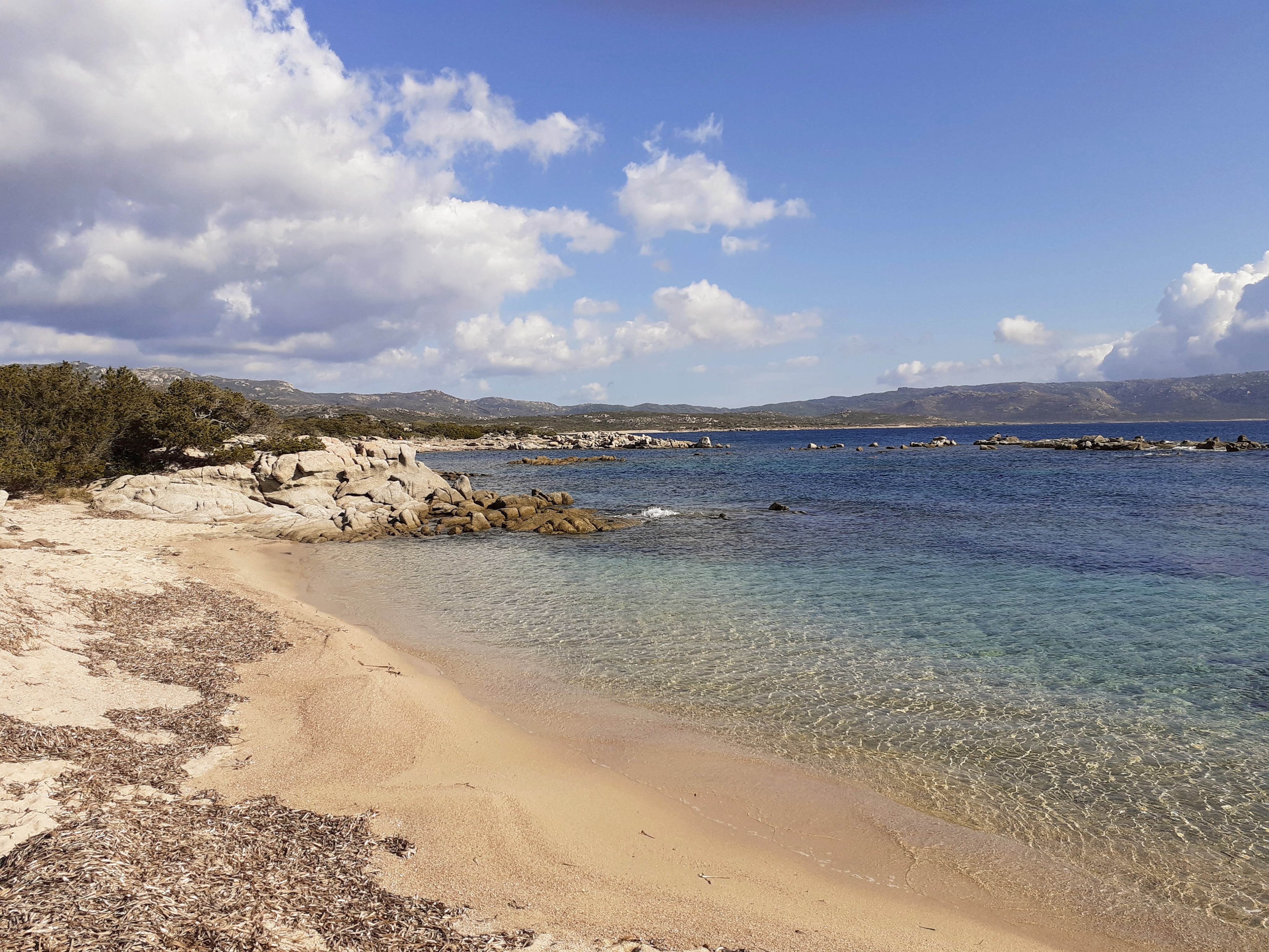
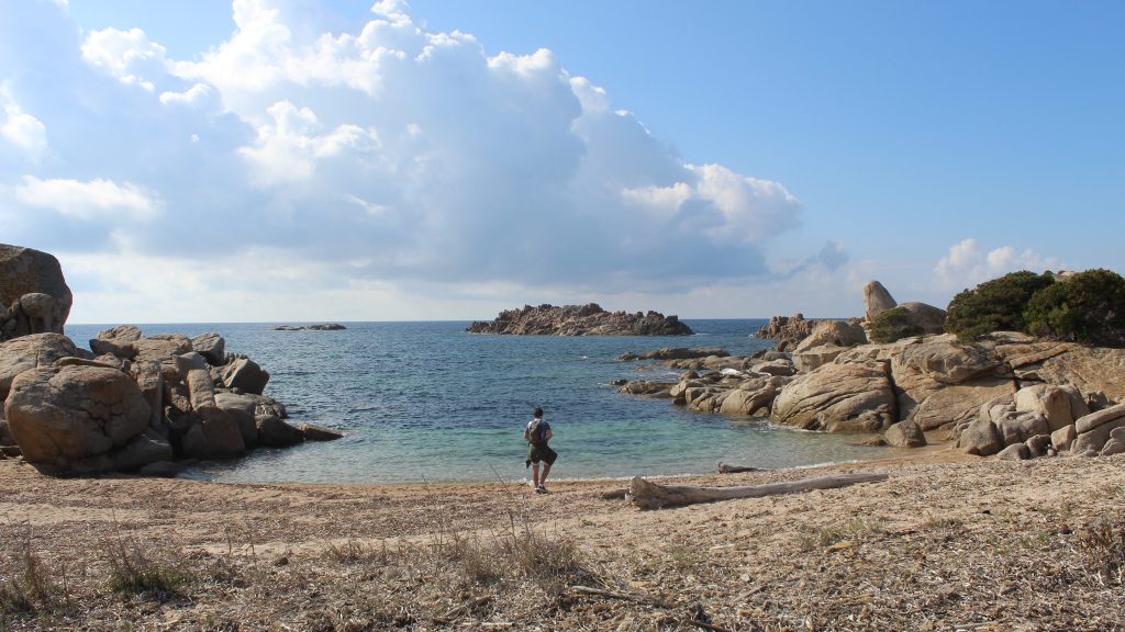
After approx 2h00 you reach the first of the dirt car-parking areas at LA TESTA and the sandy coves, ideal for a rest spot.
- La Testa (to Campu Mezanu hut) 1h00/3km
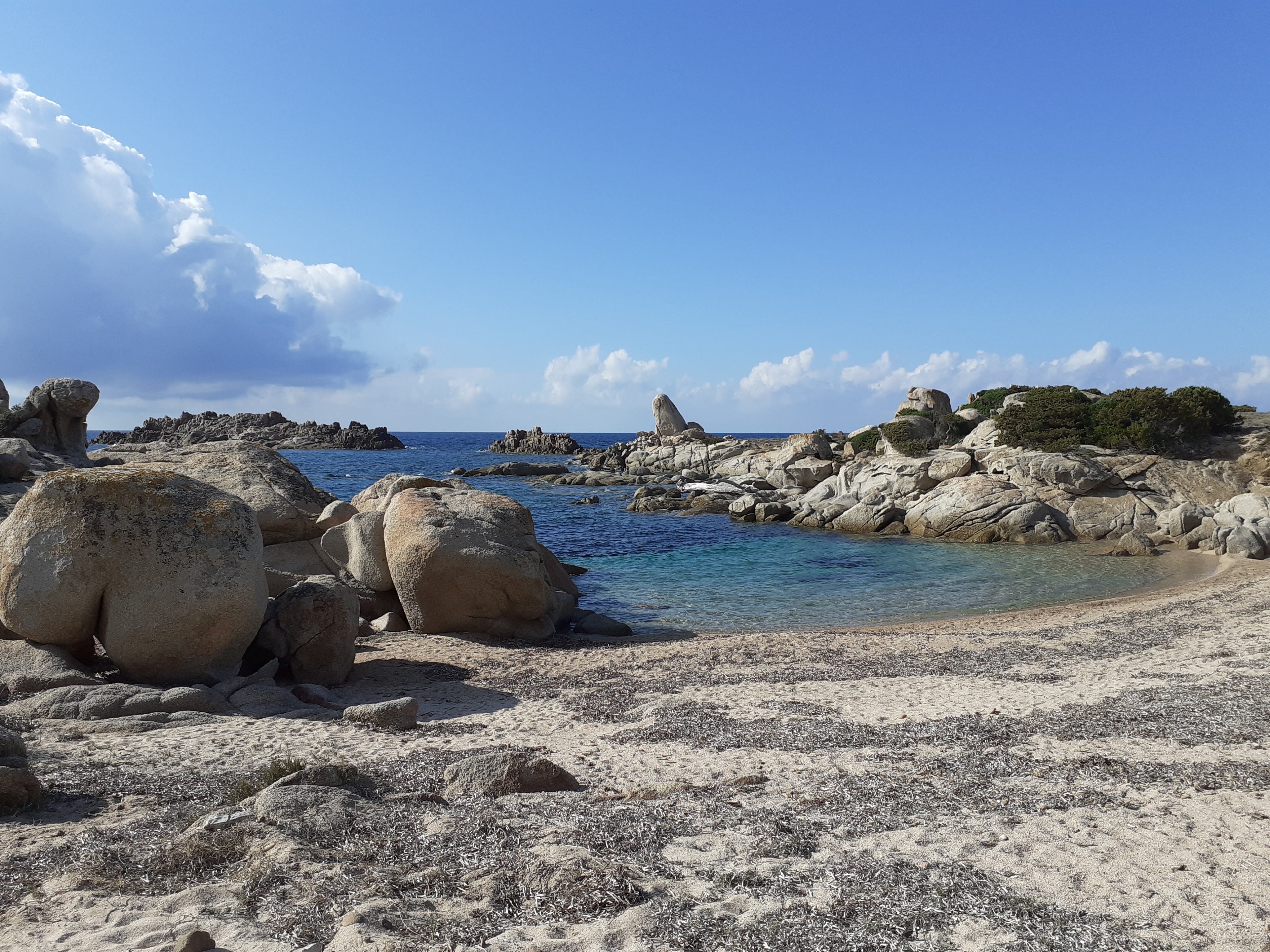
You are heading again around the headland, keeping the sea on your right, roughly parallel to the coast. After approx 2km you reach a beach covered in dry seaweed at the sea edge of PISCIU CANU (a marshy area at a stream mouth). Cross the beach walking across the seaweed with care, and climb into the maquis the other side. Continue along the easy to follow path around the next rocky headland then after 400m dropping down onto another stretch of sand. Cross this to again follow the path again around the coast alongside some beautiful coves for about another 1km, you will see a small boat pontoon and reach a ramshackle wooden hut (chairs outside).
- Campu Mezanu hut (to Ventilegne bridge) 1h00 / 3km
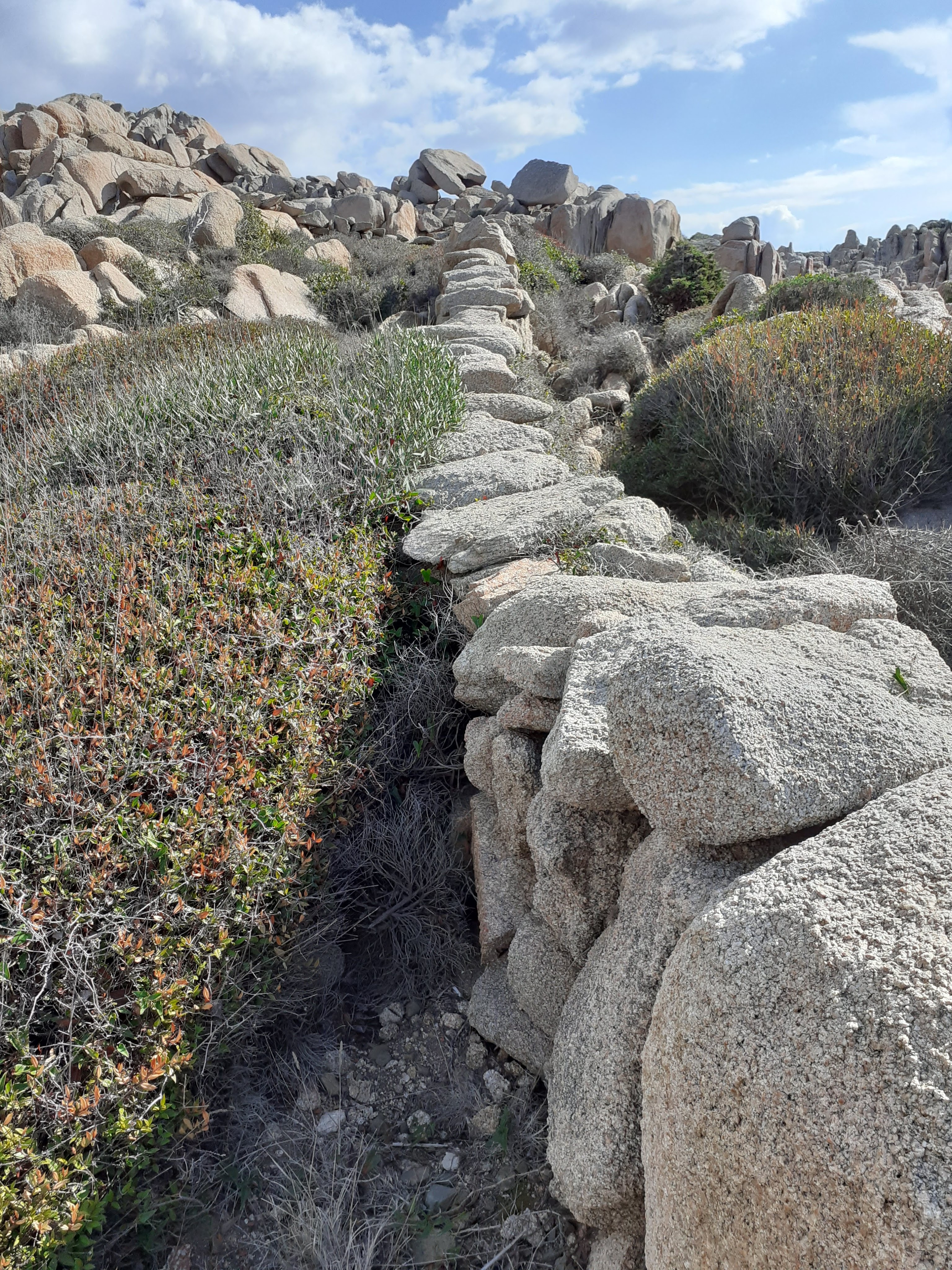
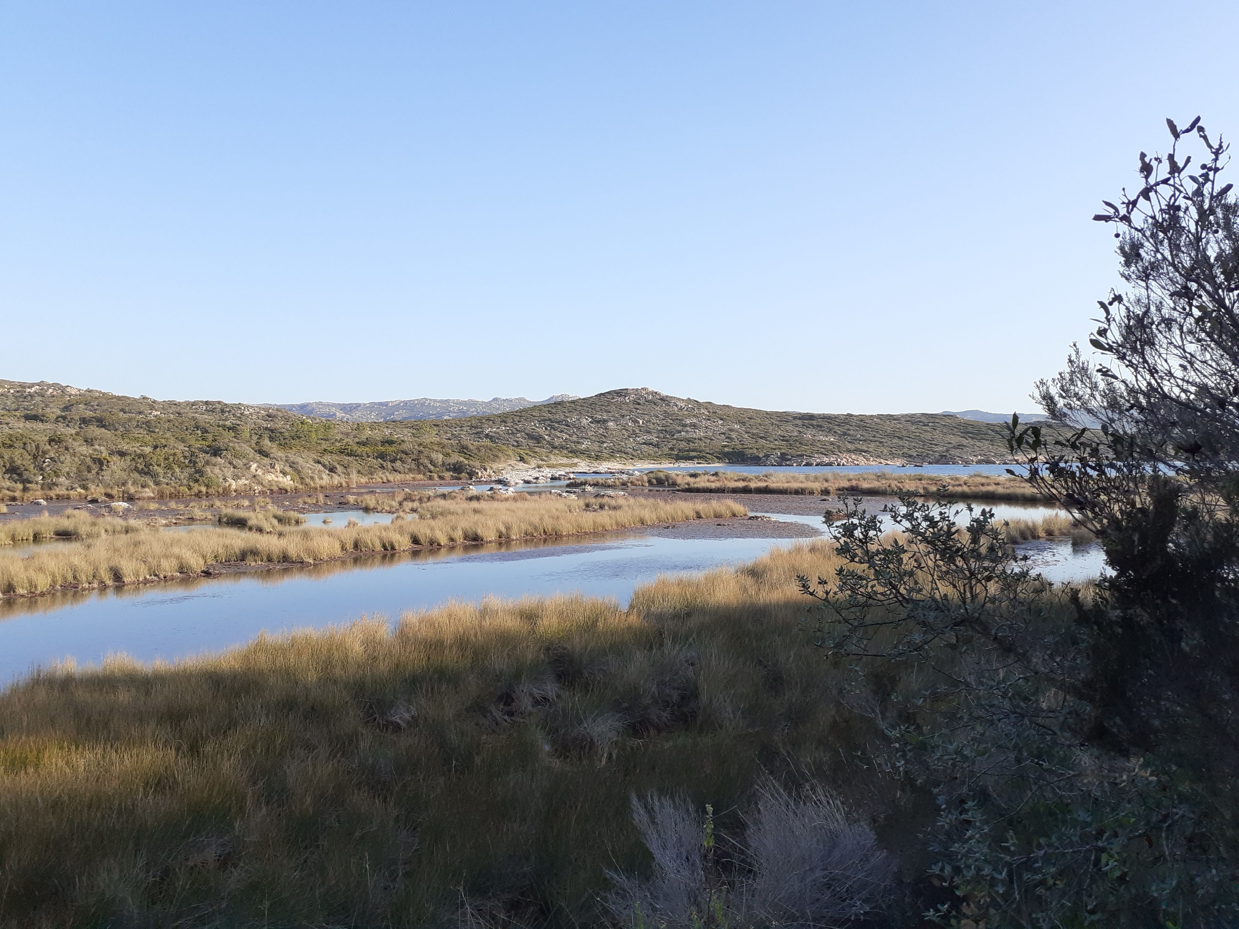
Continue on the path, between the hut and the sea. Unlike at PISCIU CANU you do not cross the seaweed on the beach at the mouth of the next stream. Continue on the path as it drops into reeds and higher maquis alongside a marshy area. About 500m after leaving the hut, you arrive at a wooden bridge that crosses the marsh. Cross this, then continue on the dirt path alongside a wall. After the wall, take a sharp right and continue around the marsh area on the mud path through maquis and reeds. About 600m after the wall you leave the marshy area climbing and continuing along the coast on higher and drier ground. You will see a stone ruin, and you should now soon hear the road. Continue along the coast at all times, climbing at the end to reach the main road to BONIFACIO at the VENTILEGNE bridge.