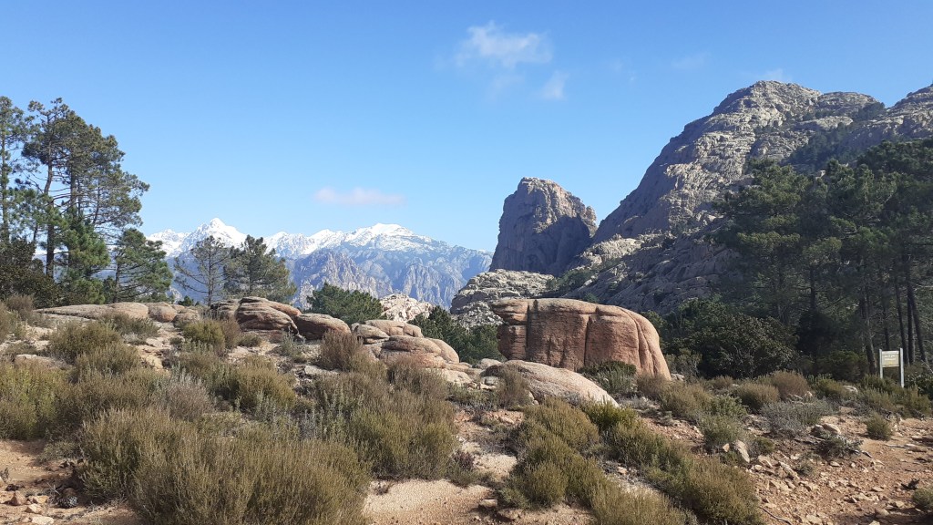
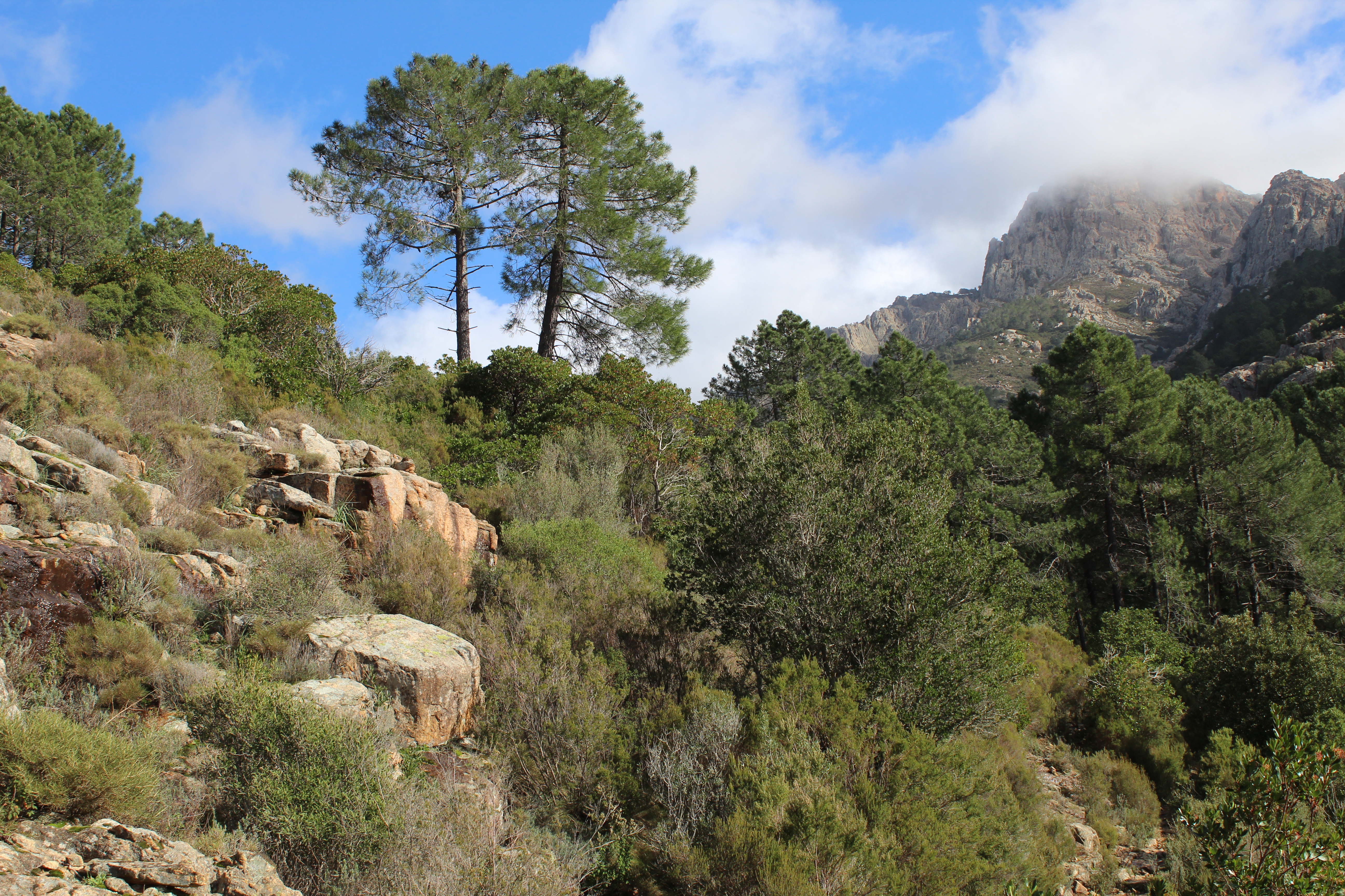
There are many walks to choose from in the magnificent CALANCHES DE PIANA, this is just one of them but we like it for the variety of landscape.
In our opinion, the waymarks tend to be confusing at times, and although the walks seem short, the terrain requires attention. Be prepared for all eventualities, weather can change dramatically in this mountainous area so close to the sea so keep your wits about you !

To start the walk, park your car at the Stade de Piana, on the right heading North on the D81, on the road out of PIANA, just before the road narrows into the CALANCHES DE PIANA.
8.5km / 3h45 / +/-450m .
Food supplies: PIANA / PORTO Please Note: Take plenty of water with you.


- Village Centre (to Stade de Piana) 0h35 / 1km
If you are staying in PIANA. Make your way to the heart of PIANA village on the D81, opposite the church square, there is a bar/ restaurant (on the mountain side of the main road). A small lane leads alongside the restaurant and behind the village building Trésor Public. You bear around to the left, the lane will become a path and you will shortly pass beside a gite d’étape called Giargalo. Follow the trail to the Reservoir (Rvoir).
Turn left, follow the track for a couple of hundred metres, at the intersection turn right. You arrive at a parking / picnic area.
- Stade de Piana (Chataignerie de Palani) 1h00 / 2km
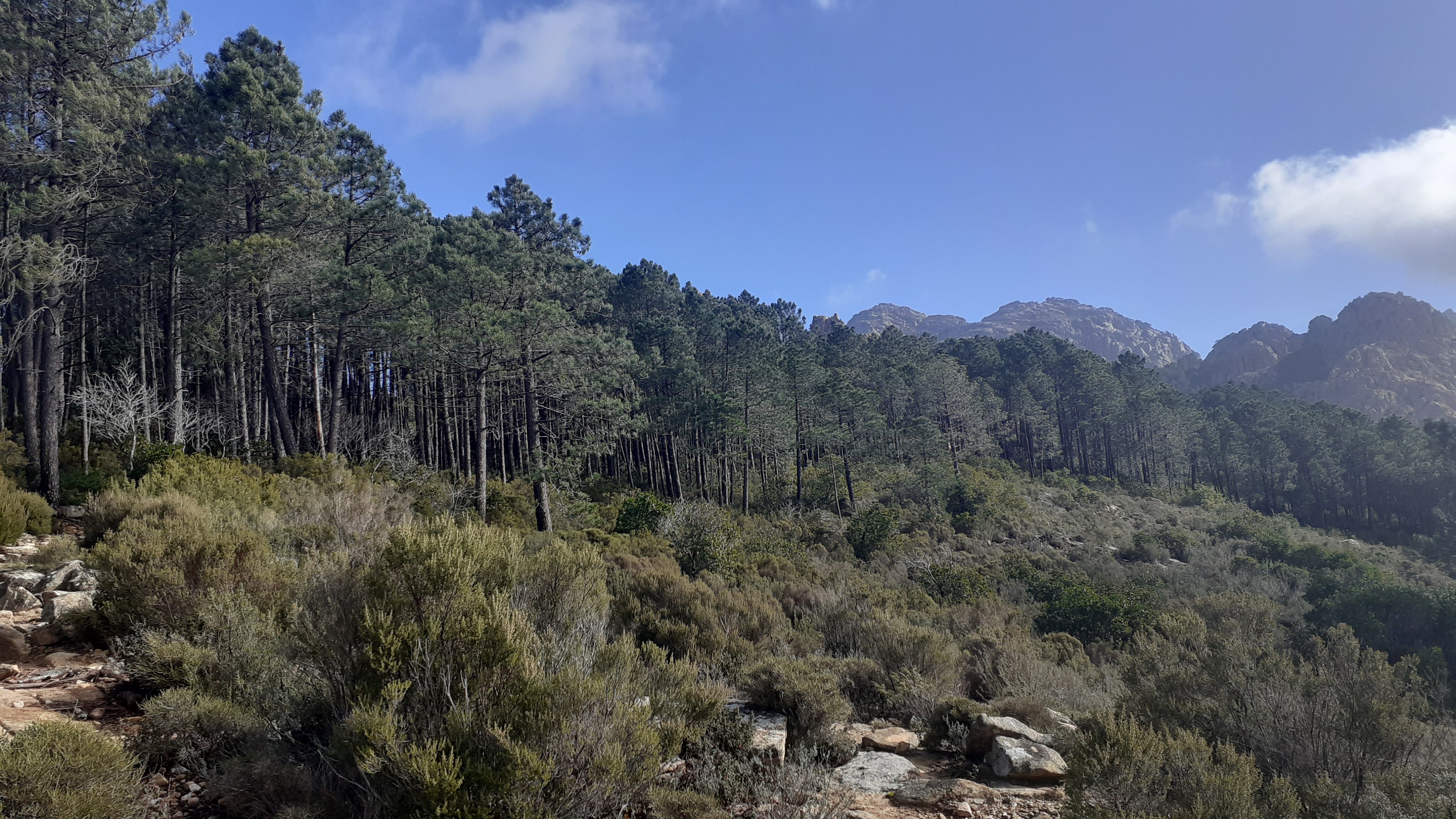
From the parking area, walk towards the small football pitch. Cross the football pitch (stade) diagonally and cross the small wooden bridge. Turn left along the YELLOW waymarked path signposted LES ROCHES BLEUES, ROCHER DU LION, RUINES DE DISPENSA, ANCIEN CHEMIN de PIANA à OTA.
Having turned left after the little wooden bridge, the trail makes its way uphill through the maquis. The path opens out and you reach a pile of stones and signposts for the first intersection – ahead you see a stone balcony path that leads to the Sta Maria Oratoire on the road through the Calanche – this is the ANC CHEMIN MULETIER that linked PIANA with OTA which we describe elsewhere – but at the multitude of signs turn right, in the direction of CAPU DI U VITTELLU, ROCHER DU LION, RUINES DE DISPENSA, CAPU D’ORTU, ROCHES BLEUES, BOCCA DI PIAZZA waymarks are still YELLOW.
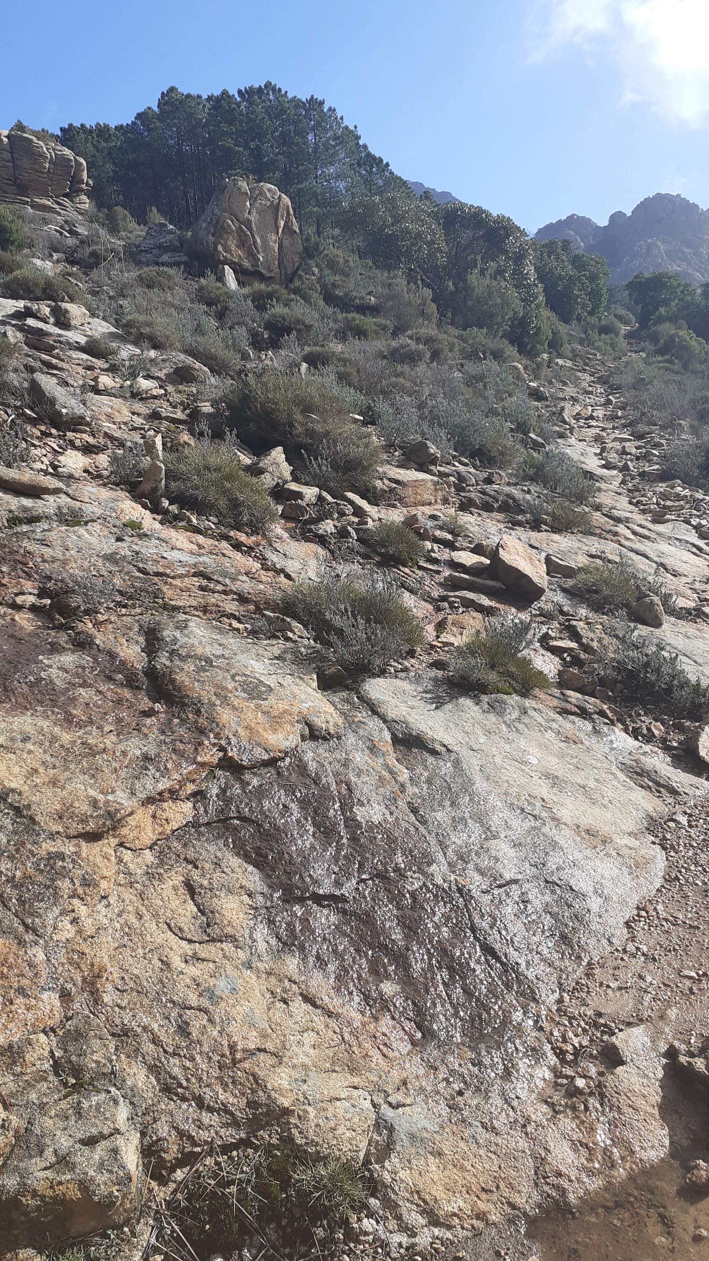
Walk uphill along the stony trail that goes into small copses then out in the open again for about 1km, you will come to another stone cairn and signpost. The left path goes drops through the trees in zigzags down to the road that leads through the CALANCHE (the path coming out opposite the ROCHES BLEUES café). Instead, take the right fork, in the direction of FNE D’OLIVIA BONA, DISPENSA, CAPU D’ORTU. You leave behind pines for the moment and walk under chestnut trees. After 250m you come to another intersection, there is a helicopter landing area, and a sign for the CHATAGNERIE DE PALANI.
- Chataignerie de Palani (to Bocca di Piazza ) 1h15 / 2.5km
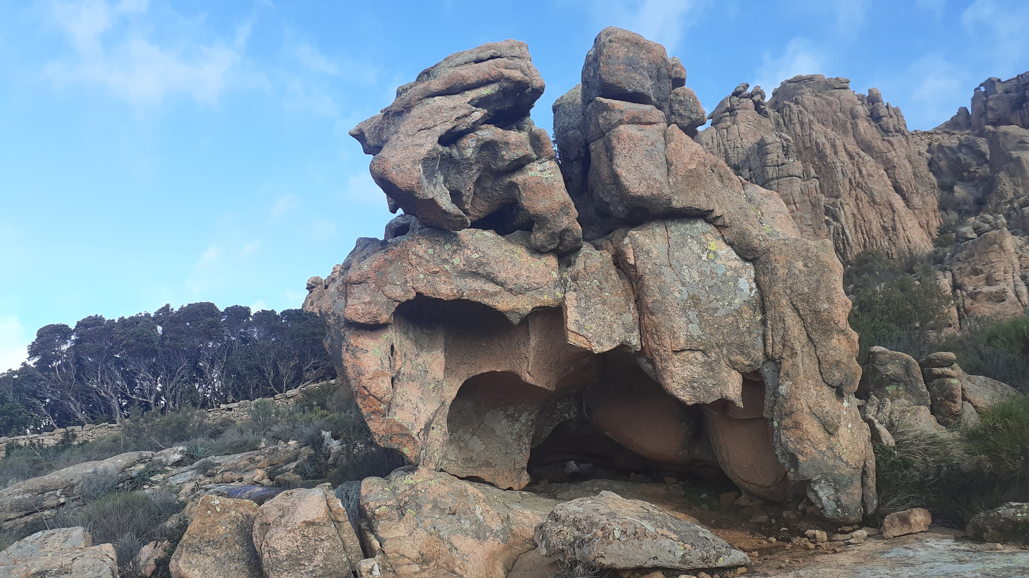
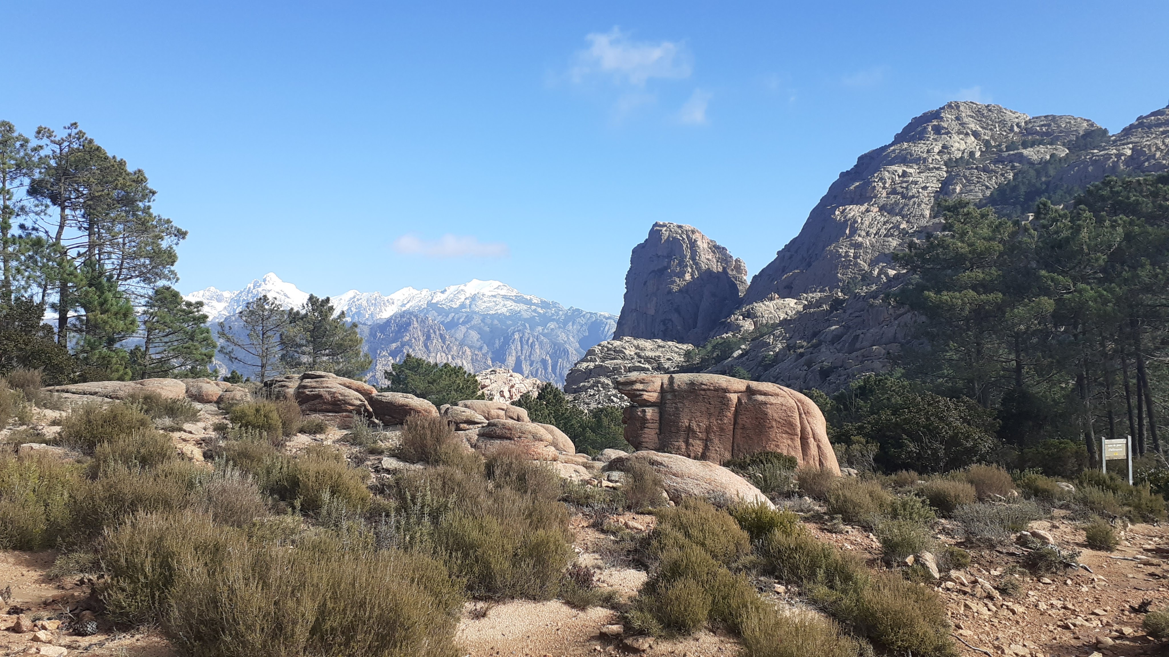
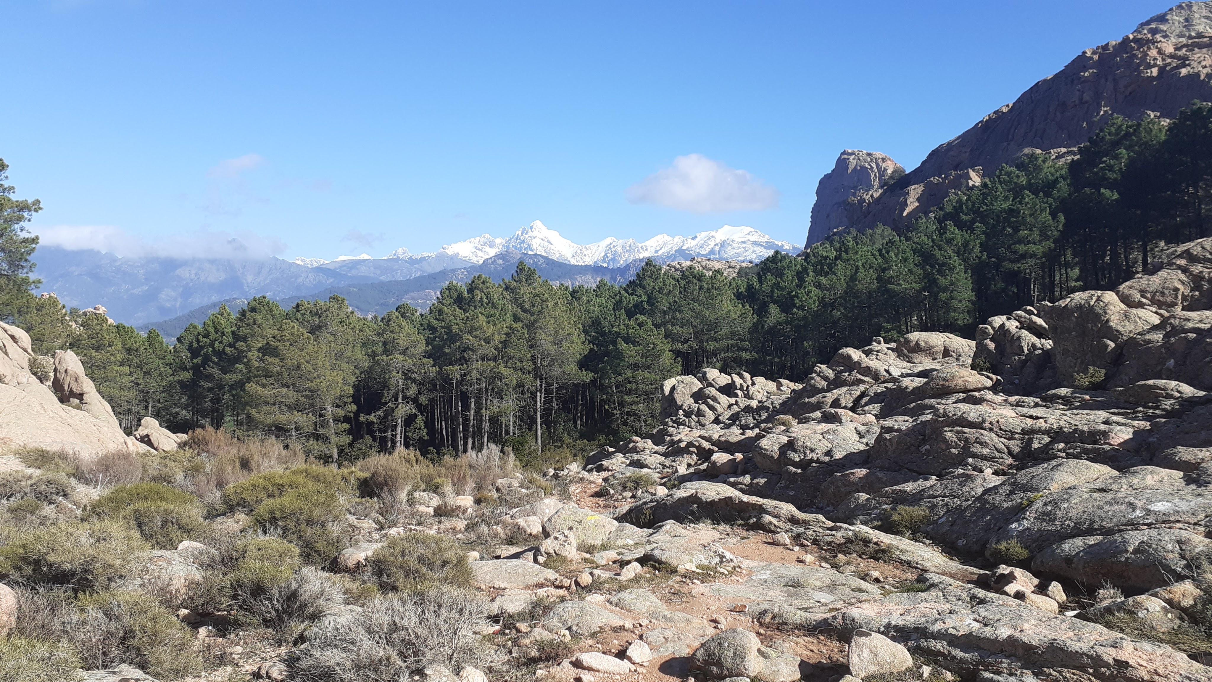
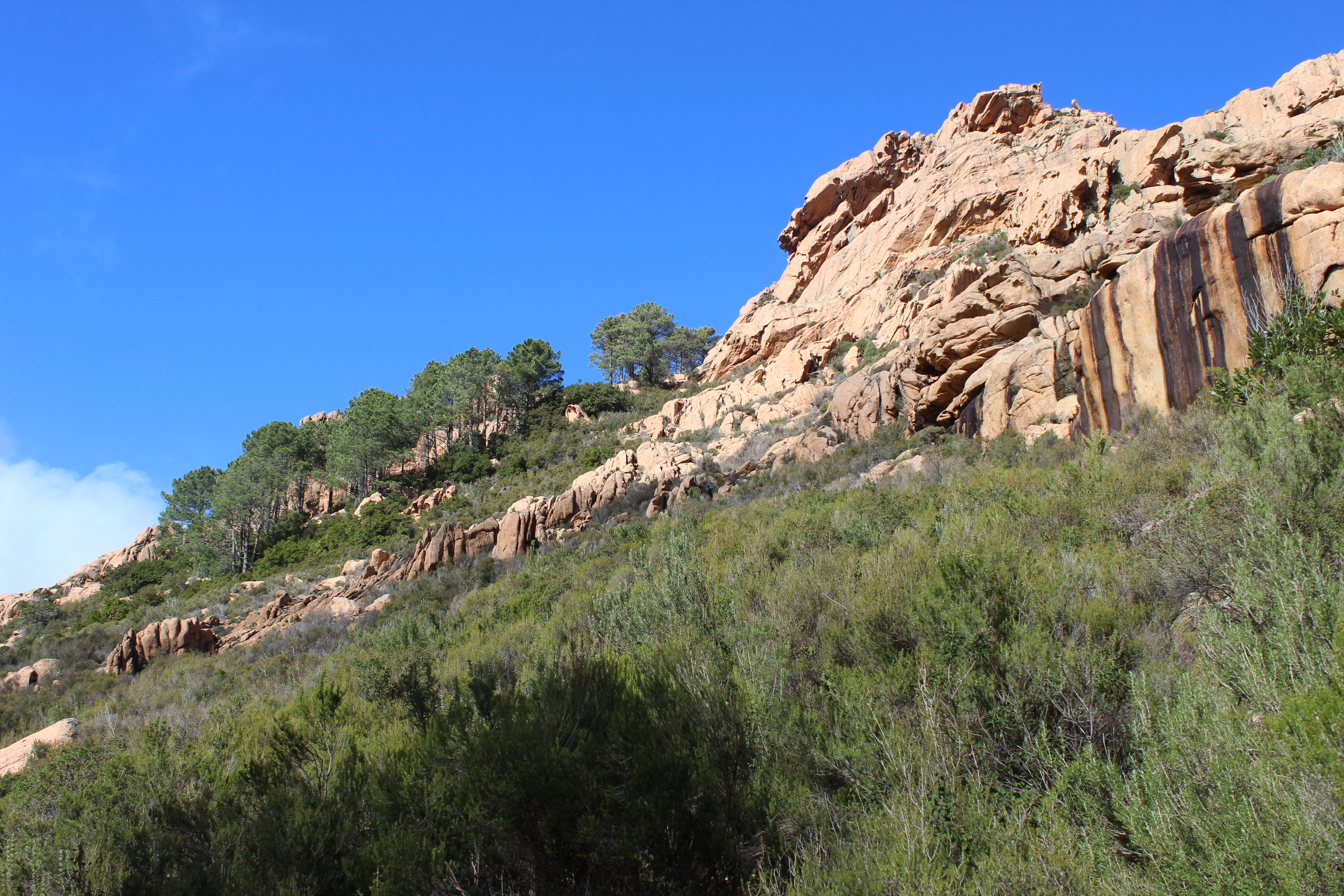
After a look at the view over the Golfe de Porto, turn right here following the signs for CAPO D’ORTU and CAPU DI U VITULLU. You are now following really faded BLUE / GREEN waymarks, heading in the direction of ROCHER DU LION. The path climbs in and out of the trees in large zig zags, alongside rocky slabs. On reaching a plateau, in front you see a dry-stone wall. Views open up behind you. You are at the part of the map below ROCHER DU LION, which you will only see (on turning around) in about 100m.
Continue on the path across this open plateau, the path again enters small copses of pines, about 650m after crossing through the wall, the path takes a distinct left, below BOCCA LARGA. The path becomes difficult to follow for the next few minutes, with a lack of waymarks and occasional low cairns, there are also hunters paths that head in the same direction. Ahead, you see another very long dry-stone wall that is at right angles to the path – the wall climbs the hill. After just 70m on this path, head sharp right, (you may see some cairns) doubling back uphill, then again left toward the direction of the wall. The path becomes again easier to follow, you should see the wall to your left after about 100m and the path soon opens up and you see a second helicopter landing area at BOCCA LARGA.
You see the sign, the path is continuing to the left, and will soon start a short sharp zig zagged climb through the trees towards the summit of BOCCA LARGA.
At the top there are splendid views of the GOLF DE PORTO and a flat area ideal for a picnic or a rest stop.
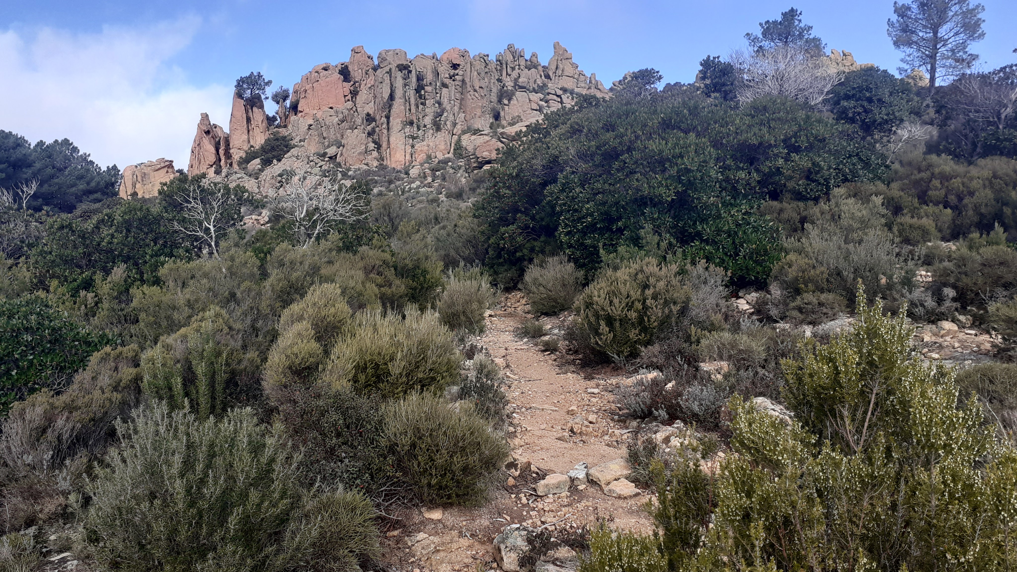
Continue along the plateau, you reach an area where the views open either side, scattered with taffoni – fantastic views to the CAPO D’ORTU and the mountains of the Nebbio to the North (PAGLIA ORBA etc). You will see a third helicopter landing area sign. You are heading roughly straight ahead between the large rocky boulders down a roughly cairned path, to reach BOCCA PIAZZA. Yellow signposts on left to RUINES DE DISPENSA, LES ROCHES BLEUES, VIERGE DES CALANCHES, STADE DE PIANA.


- Bocca di Piazza (to Stade de Piana) 1h30 / 4km
You can either turn left here for a well waymarked YELLOW path back to the CHATAIGNERIE DE PALANI, then retrace your steps that you did earlier, or head straight on for 100m.
Just 100m from the BOCCA DI PIAZZA you will see a (fallen) signpost CAPO D’ORTU, FOCE D’ORTU etc. Turn right here into the pine forest signposted PIANA. The path is initially gentle underfoot with a carpet of pine needles, before it becomes much more stoney underfoot as it zig zags downhill, following a stream (there can be a lot of water on the path after rain). The path was waymarked but the waymarks are scarce.
Halfway down the waymarks become purple as you reach the lower slopes, and you will see signs showing you the flora of the ARBORETUM path. You see a sign that incicates the ARBORETUM loop to your left.
Keep following the purple waymarks along the valley. You arrive at the bridge by the STADE DE PIANA. Retrace your steps to your car or back to your hotel.


