The PUNTA SAN SISTU summit walk is another fantastic and little known summit. At 876m, it towers over the nearby Rocher du GOZZI 705m and PUNTA PASTANICCA 813m and is almost as high as ARAGNASCU 888m. There is so much to see on this walk and you’ll probably see no one once you walk away from the well trodden GOZZI path. The walk starts from the chapelle SAN CHIRGU in APPIETTO just like the GOZZI walk.
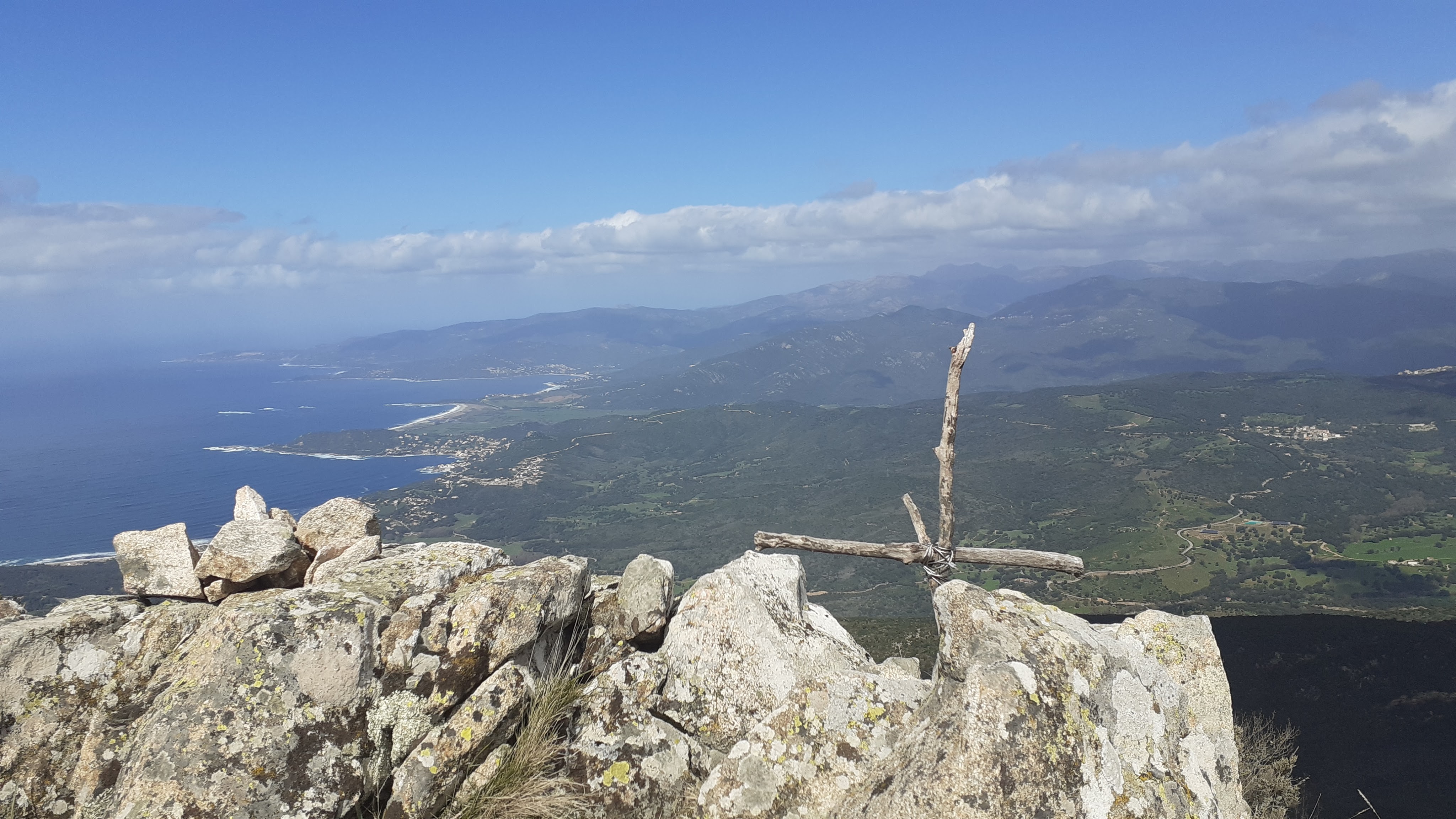
“A summit, a chapel, a dolmen and stunning panoramic views all the way from Capu di Muro to Capo Rossu and Cargese “
7.25km, 3h20, +/- 580m, cairns

From Ajaccio take the D81 in the direction of PIANA (CALVI par la côte). At the new roundabout on the COL LISTINCONU, take the road to APPIETTO. Drive up towards the village and turn right before the cemetery, signposted GOZZI, reach the top of this road and you find you are in a good parking area.
- CHAPPELLE SAN CHIRGU (to BOCCA A FOCE) 1h00 / 2.0km
From the parking area go through the gate towards the Rocher du GOZZI and take the steep, rutted climbing path directly on your left. The path heads up the ridgeline, starting in a north easterly direction, before heading east with the view soon opens up to the Rocher du GOZZI, there is a slabbed plateau to enjoy the panorama just before the switch back turning on the left at 688m to lead you away from the GOZZI.
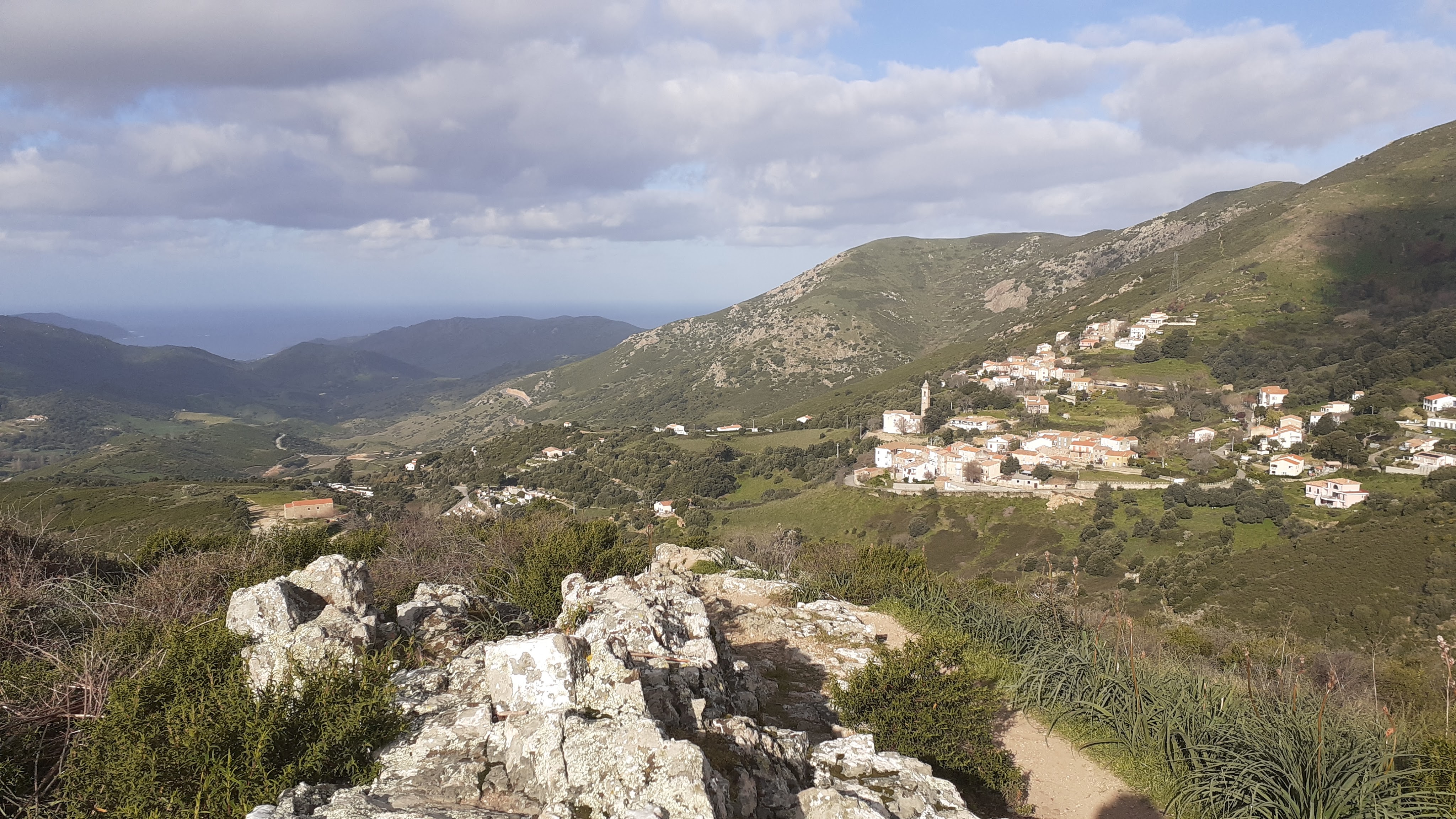
The path contours the PUNTA CORBAJOLA above the village of APPIETTO before gently dropping down to a grassy area with dry stone walls BOCCA A FOCE at 665m. Here you see some yellow waymarking coming in from your left (from the village), there is also a broken signpost over to your left.
We chose to do a loop from here. You can walk straight up to the ridge (distance 500m, +160m) from the wooden post. The path is quite steep and ends near the Chappelle San Sistu see below.
- BOCCA A FOCE (to ridge junction 776m) 0h30/ 1.75km
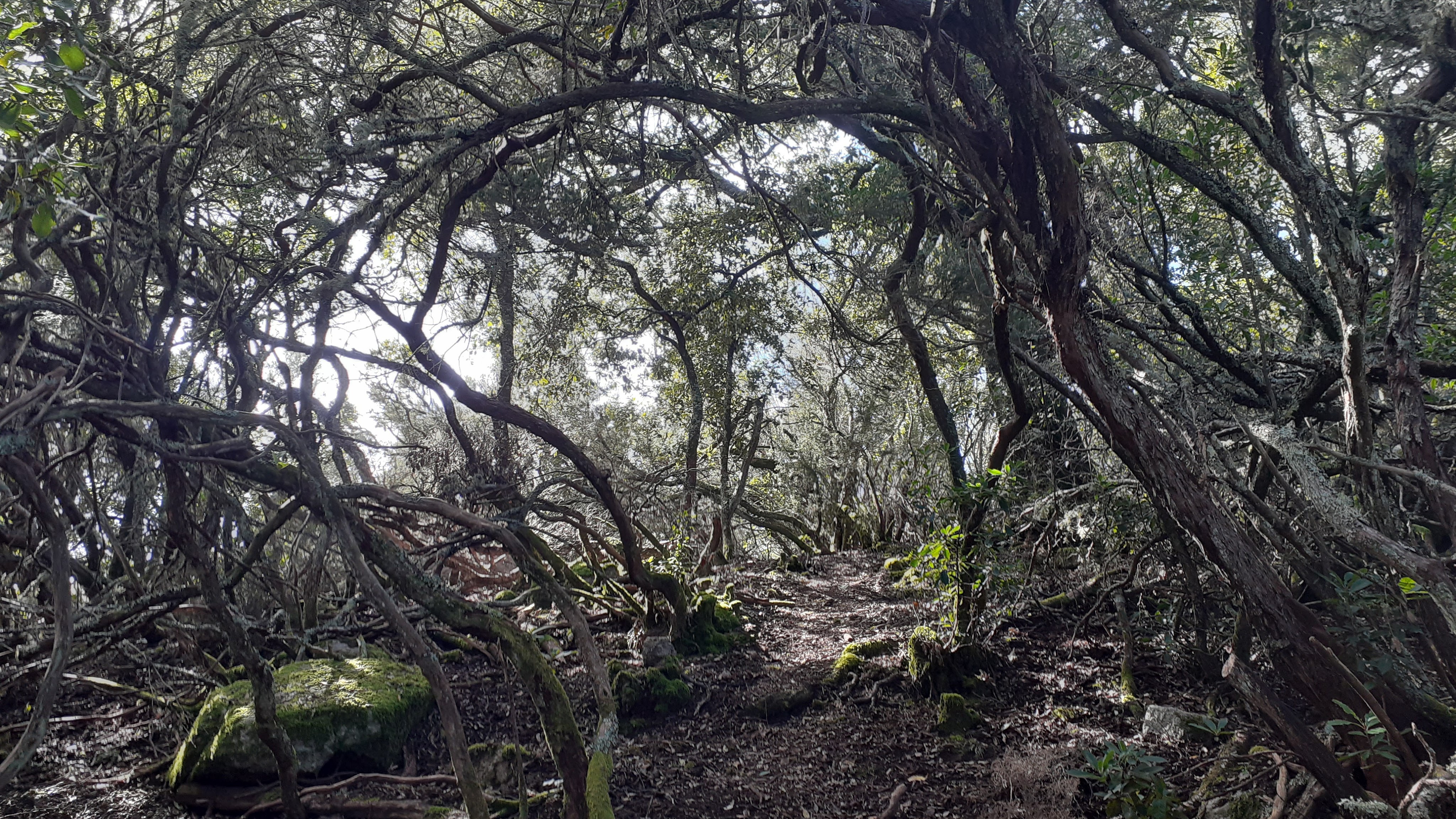
You are heading straight across and you will follow the path along the valley in a north easterly direction (off towards the right). The path is pretty flat and easy going. At a clearing (after 600m) you turn off the path at a distinct left turn towards the ridge, the path then returns to the north easterly direction and starts a gentle and straight climb to the ridge under high maquis. As you reach the ridge, the path flattens, and opens on a grassy area, with a chestnut wood and cairn to your left.
- RIDGE JUNCTION 776m (to Punta San Sistu 876m) 0h30/0.75km
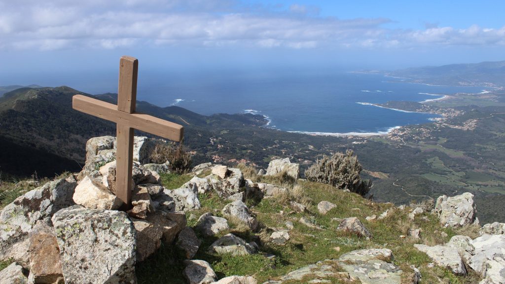
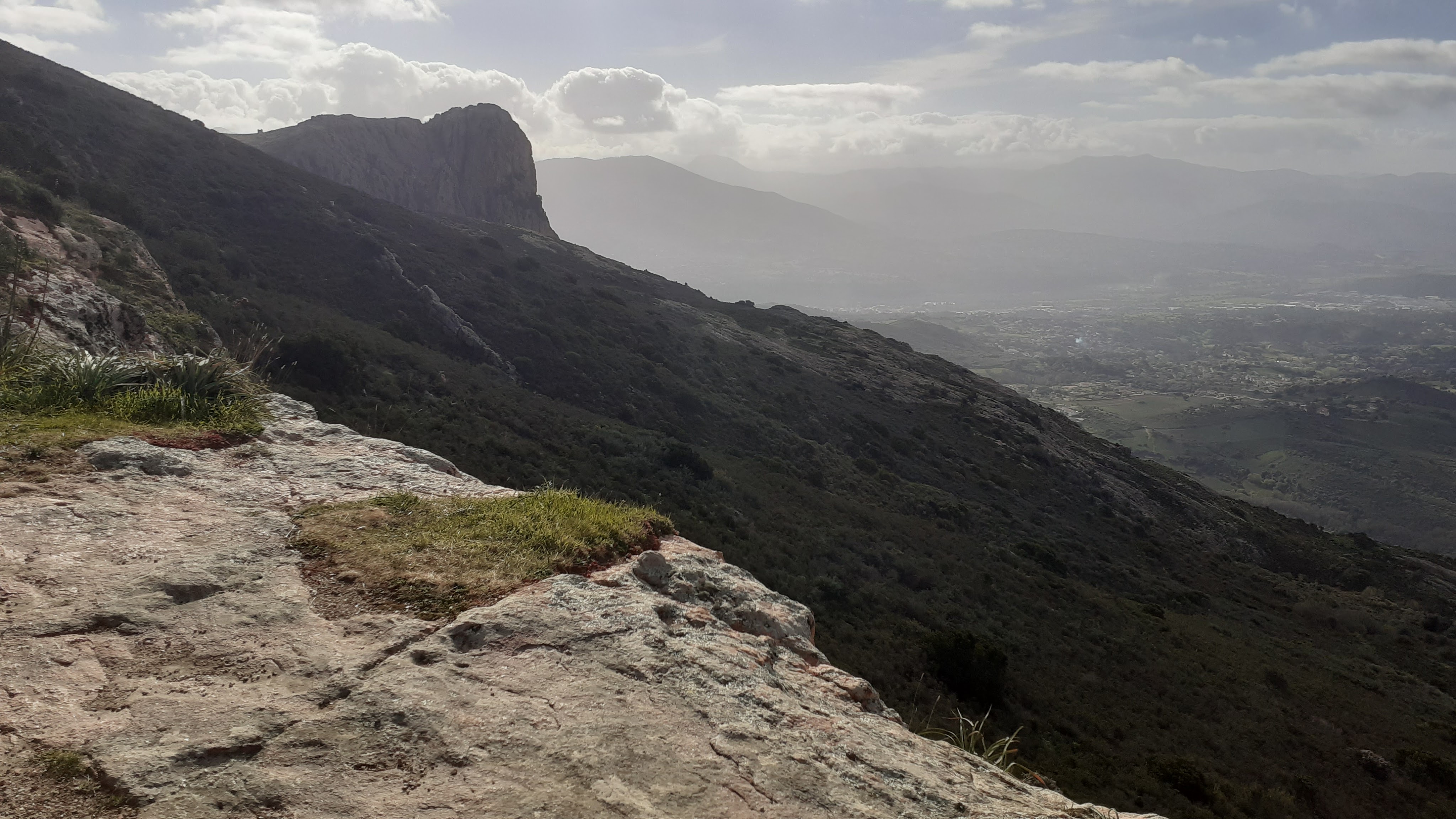
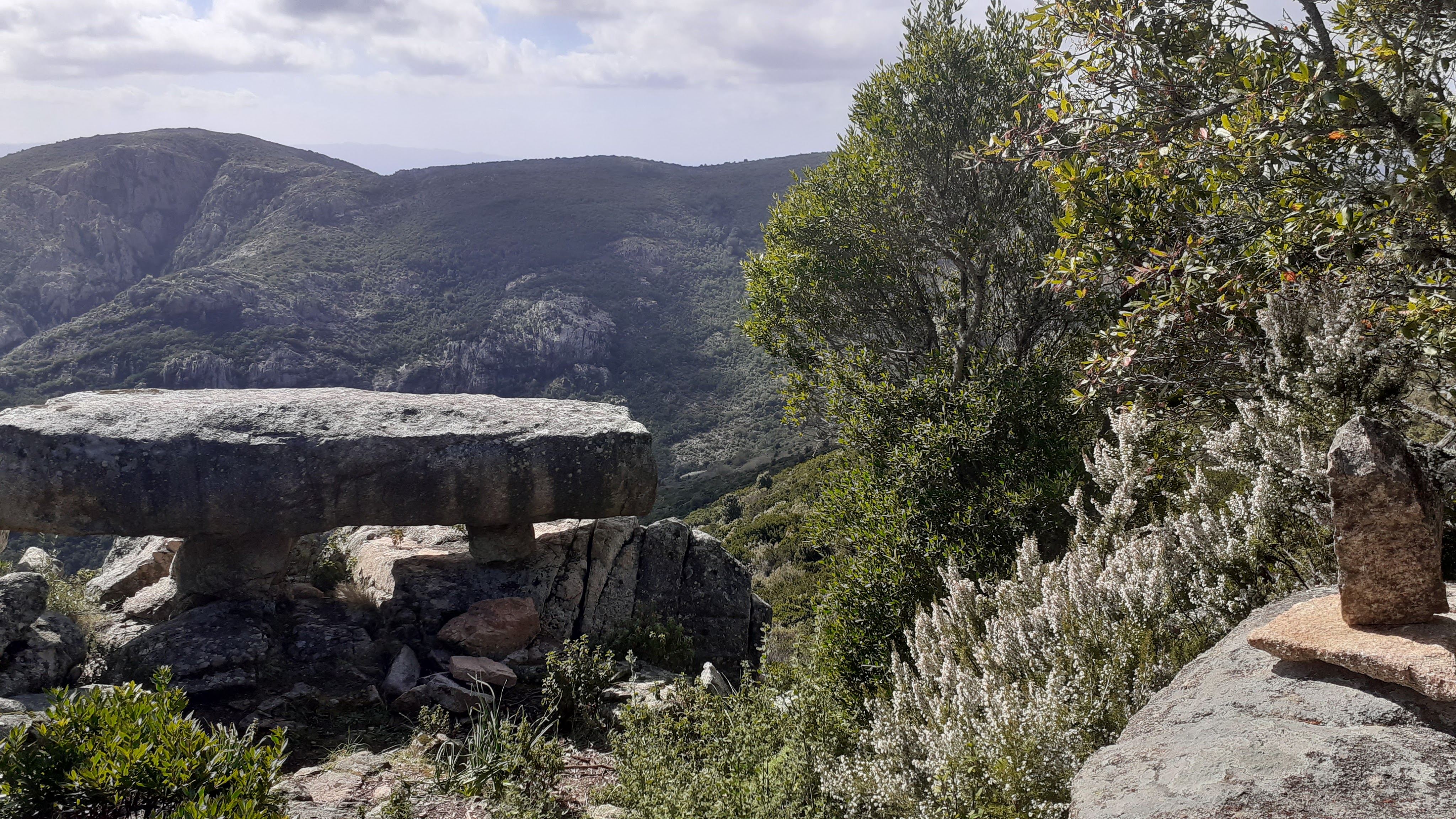
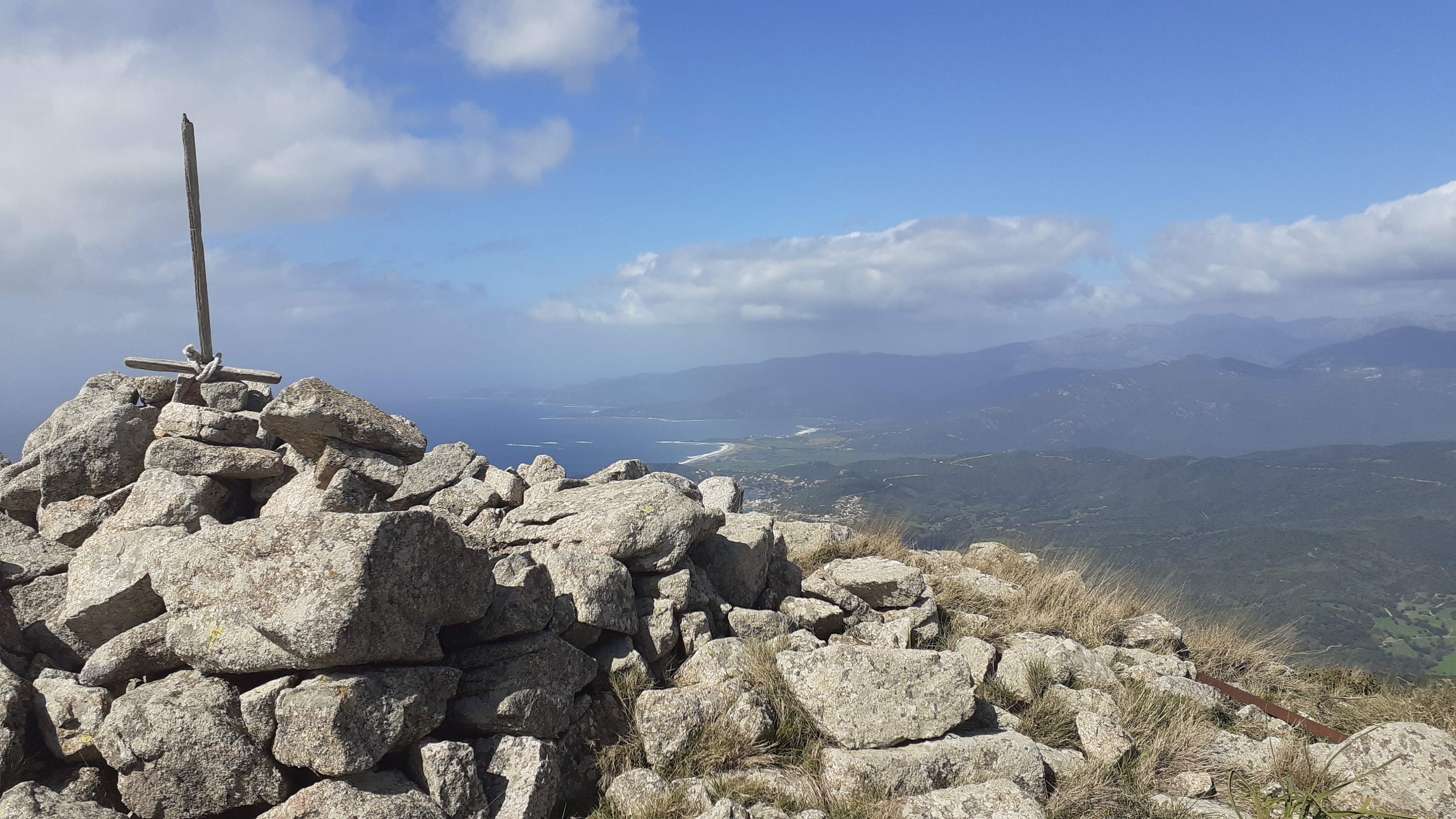
Head left through the chestnut wood under the moss covered trees and follow the path up this saddle and onto the ridge. The path soon leaves the wood and opens up to a rocky path contouring the left side of the ridge with views towards the PUNTA PASTANICCIA and ARAGNASCU. The path winds its way in and out of the boulders. Care, you don’t want to miss the DOLMEN ! As the path passes through rocks, 150m after leaving the wood behind, there is a small cairn, low on your lefthand side with a red paint splash, and a falling path. Take this to discover the hidden DOLMEN SAN SISTU, a huge granite block perched on two pillars with views out over the valley just 10m below. Return to the path, and continue up the ridge to the summit at PUNTA SAN SISTU 876m.
Below you can see the golfes of SAGONE with CARGESE and CAPO ROSSU in the background.
- PUNTA SAN SISTU 876m (to CHAPPELLE SAN SISTU) 0h20/0.75km
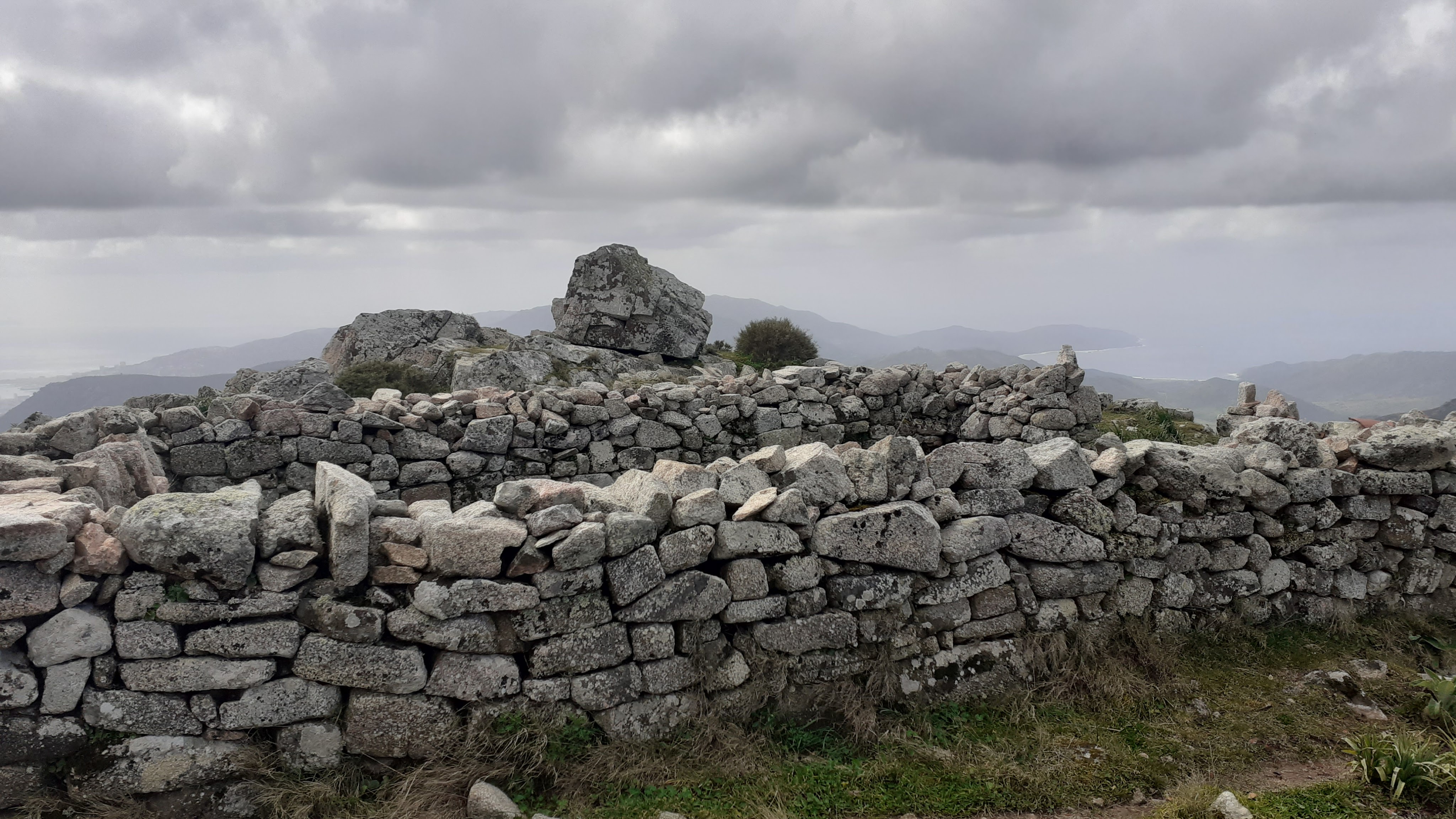
From the summit at SAN SISTU, the path drops gently down along the ridge with open views in all directions. The path is easy going with no real difficulties, you pass a smaller summit before reaching the ruins of the XIIth Century Chappelle San Sistu. We chose to continue along the ridge here. You can walk straight down from the ridge on a steep falling path (distance 500m, -160m) to the wooden post at BOCCA A FOCE.
- CHAPPELLE SAN SISTU (to BOCCA A CROCE) 0h30 / 1km
From the ruins, continue along the ridge until you reach a junction with a yellow waymarked path off to the right towards CALCATOGGIO at BOCCA A CROCE. From here you have a couple of options.
- SHORT OPTION BOCCA A CROCE (to APPIETTO) 0h30 / 1km
As the weather was deteriorating, we headed off left here under a tree, dropping diagonally down the hill to the village (1km) on a non waymarked rather messy path. The path reached woods above the village, and met the yellow waymarked path that joins the BOCCA A FOCE, turning right, through the woods we passed bergeries and a wet area, before arriving back into the village of APPIETTO. Dropping down on the road by the church, following the road, we found the cemetery and made the climb up the lane to find the car at CHAPPELLE SAN CHIRGU.
- LONGER OPTION BOCCA A CROCE (to APPIETTO) 1h15/ 2.5km
Continue along the ridge passing under the pylons, walking with views all the way. At the end you are dropping down through the rocks at BOCCA DI CAPPANELLA. The path turns off to your left on a track that drops to APPIETTO, passing back under the pylons just before reaching the village. Follow the road down to the cemetery to find your car.


