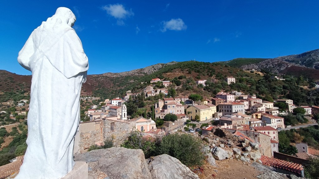
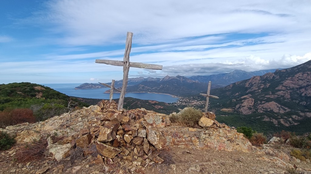
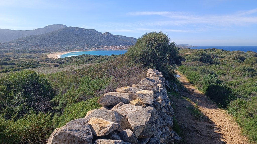
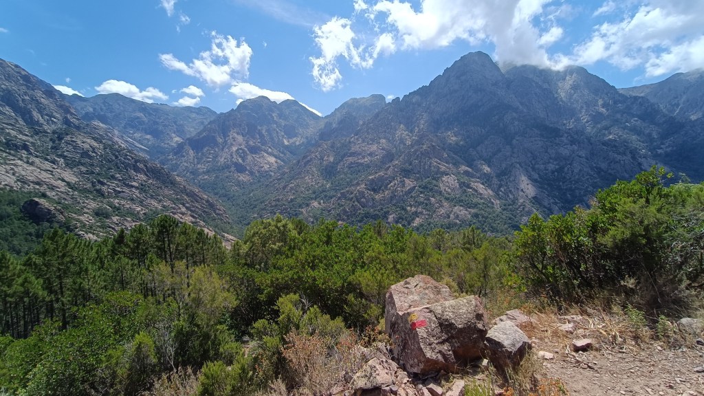
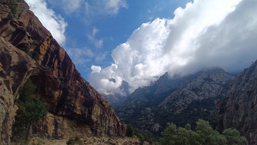
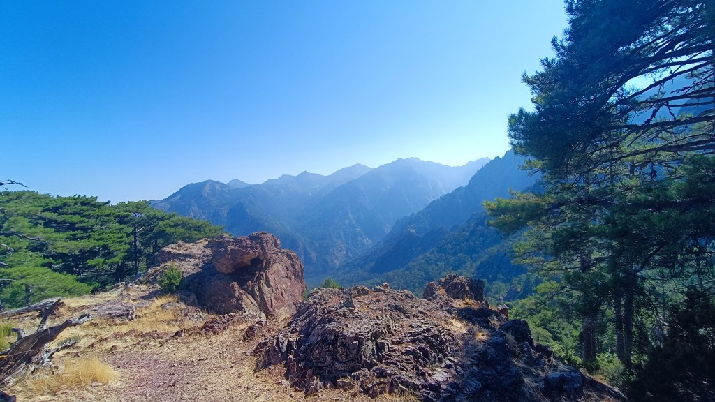
There are many walks to choose from in the magnificent CALANCHES DE PIANA, this is just one of them but we like it for the variety of landscape. This is an update on the walk we did before doing it in a direction for more wow factor !
In our opinion, the waymarks tend to be confusing at times at the end of the walk, and although the walks seem short, the terrain requires attention !

To start the walk, park your car at the Stade de Piana, on the right heading North on the D81, on the road out of PIANA, just before the road narrows into the CALANCHES DE PIANA.
11km / 3h45 / +/-600m .
Food supplies: PIANA / PORTO Please Note: Take plenty of water with you.
- Village Centre (to Stade de Piana) 0h35 / 1km
If you are staying in PIANA. Make your way to the heart of PIANA village on the D81, opposite the church square, there is a bar/ restaurant (on the mountain side of the main road). A small lane leads alongside the restaurant and behind the village building Trésor Public. You bear around to the left, the lane will become a path and you will shortly pass beside a gite d’étape called Giargalo. Follow the trail to the Reservoir (Rvoir).
Turn left, follow the track for a couple of hundred metres, at the intersection turn right. You arrive at a parking / picnic area.
- Stade de Piana (Chataignerie de Palani) 1h00 / 2km
From the parking area, walk towards the small football pitch. Cross the football pitch (stade) diagonally and cross the small wooden bridge. Turn left along the YELLOW waymarked path signposted LES ROCHES BLEUES, ROCHER DU LION, RUINES DE DISPENSA, ANCIEN CHEMIN de PIANA à OTA.
Having turned left after the little wooden bridge, the trail makes its way uphill through the maquis. The path opens out and you reach a pile of stones and signposts for the first intersection – ahead you see a stone balcony path that leads to the Sta Maria Oratoire on the road through the Calanche – this is the ANC CHEMIN MULETIER that linked PIANA with OTA which we describe elsewhere – but at the multitude of signs turn right, in the direction of CAPU DI U VITTELLU, ROCHER DU LION, RUINES DE DISPENSA, CAPU D’ORTU, ROCHES BLEUES, BOCCA DI PIAZZA waymarks are still YELLOW.
Walk uphill along the stony trail that goes into small copses then out in the open again for about 1km, you will come to another stone cairn and signpost. The left path goes drops through the trees in zigzags down to the road that leads through the CALANCHE (the path coming out opposite the ROCHES BLEUES café). Instead, take the right fork, in the direction of FNE D’OLIVIA BONA, DISPENSA, CAPU D’ORTU. You leave behind pines for the moment and walk under chestnut trees. After 250m you come to another intersection, there is a helicopter landing area, and a sign for the CHATAGNERIE DE PALANI.


- Chataignerie de Palani (to Bocca di Piazza – low route) 1h15 / 2.5km
After a look at the view over the Golfe de Porto, keep ahead across the open area with the views to your left. Signposted FNE D’OLIVIA BONA RNES DE DISPENSA BOCCA PIAZZA. After barely 100m the path climbs gently straight ahead leaving the path for the FNE and RNES behind as it drops slightly to the left.
Continue on the balcony path through the trees – it is soft underfoot and climbs gently. Through the forest, you will have glimpses down to the sea on your left, all the way towards the rocky outcrop marked PUNTA DI A PIANETTA on the map. The view suddenly opens up inland over a plateau of sculptured Tafoni rocks – you see the PAGLIA ORBA. Here the path takes a sharp right gently uphill through light woodland. The path soon opens up again to a rock slab landscape, keep an eye on the YELLOW waymarks, crossing this area before heading into dense woodland, and coming out by a rock face that it follows before arriving at the BOCCA DI PIAZZA where you see a signpost.
- Bocca Piazza (to foot of Capo D’Ortu)
From here turn left for the CAPO D’ORTU, the path leads down through the trees, for around 10 mins until a path signposted with an old sign leads off to the left climbing steeply over a rocky slabbed area with occasional cairns. Care after wet weather as the slabs are slippery. Continue climbing, following the cairns, crossing over the ridge between the rocks, then dropping down through low maquis, passing a wind sculptured ridge, towards another rock scattered plateau (on your left) before the climb begins through the trees to the CAPO D’ORTU (20 mins walk from signpost). It states 50 minutes ascension for the CAPO D’ORTU from the sign. We headed back from here retracing our steps to the signpost BOCCA A PIAZZA as the conditions were icy. Ignore the Yellow signpost on your right to RUINES DE DISPENSA, LES ROCHES BLEUES, VIERGE DES CALANCHES, STADE DE PIANA.


- Bocca di Piazza (to Stade de Piana) 1h30 / 6km
From the signpost take the faded BLUE waymarked path that scrambles up through the rocks to a high flat plateau signposted (old style sign) LES ROCHES BLEUES, there are also occasional cairns. You will see a HELIPAD sign on your right and views towards the PAGLIA ORBA, to your left the land falls away to the forest. Continue along the plateau, the path is easy and flat underfoot, alongside the pines to BOCCA LARGA. Suddenly view opens up to a simply amazing panorama of the GOLFE DE PORTO from SCANDOLA to CAPO ROSSU. There is even a lovely shaded spot for a picnic !
From here, head away from the open view, the trail heads towards the towering rocks to the left, goes through a gap, and starts dropping down in zig zags through woodland.

Once the path flattens, you arrive at another HELIPAD area as the trees become more sparce (you may not see this but it is there), again keep on the main path as it heads, easy to follow with cairns, across another more open rocky area – you see a wall that you switch towards, then move away from, the path then runs perpendicular to the wall before it meets a rocky ridge. A large taffoni sits to the side of the path just before crossing through a wall near the ROCHER DU LION.
Another good spot for a pause, before continuing on. The path ahead leads to ahead from the opening in the wall, dropping to another rocky slabbed area, zig zagging its way down to woods before arriving at PALANI and the CHATAIGNERIE.
Retrace your steps from this morning. You arrive at the bridge by the STADE DE PIANA. Retrace your steps to your car or back to your hotel.

