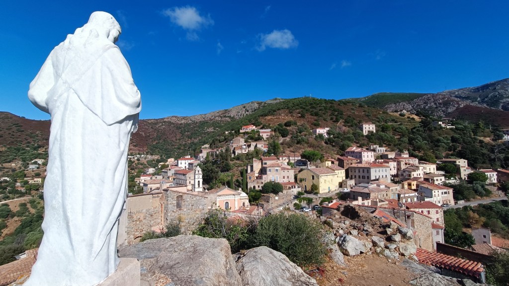
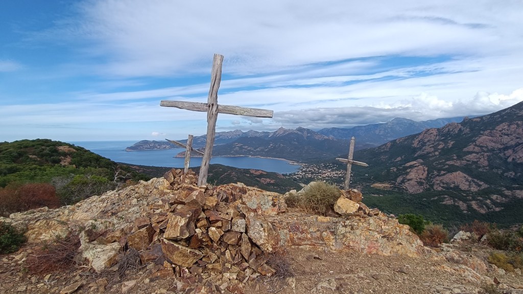
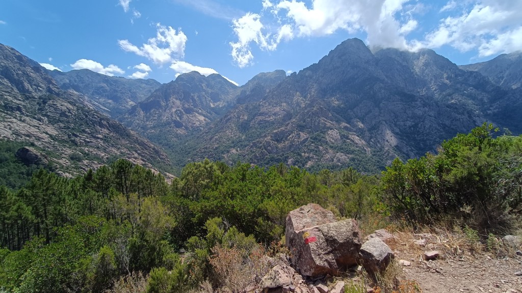
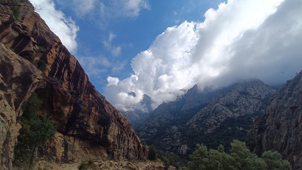
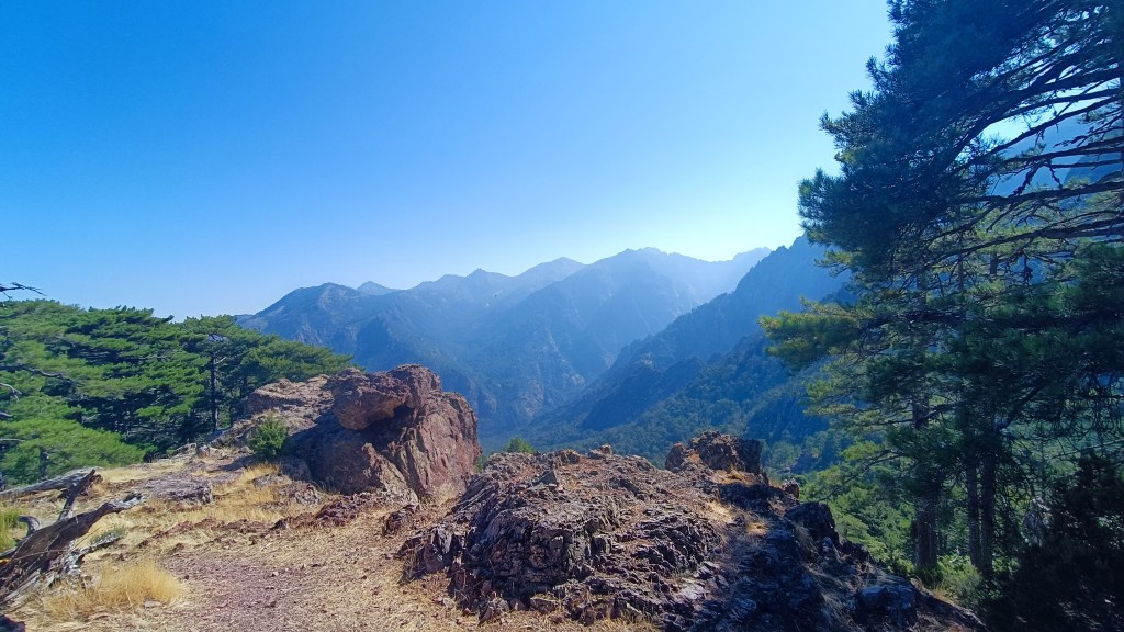
Village to Village, mountains and coast, in the Cap Corse. The Cap Corse is called the Island within the island, and is a land full of mystery. Villages dot the coastal slopes, with steep seacliffs dropping down to the sea in the west.
A village to village walk, mountains walking then coastal by the sea.
Food supplies: CANARI, small shop and restaurants NONZA.
Please Note: Take plenty of water with you in hot weather and DO NOT ATTEMPT TO GO OFF TRAIL. Take care in high winds.
12.5km / 5h00 / +650m / -780m / Some signs and occasional way-marks GREEN ORANGE / ORANGE / YELLOW
- Clocher (to viewpoint Scala Brocciu) 1h00/ 3km
Take the road to the left of the hotel that goes uphill passing I FIORETTI in the direction of the cemetery, the road then heads right in the direction of OGLIASTRO and OLCANI. Continue straight ahead on the path between a parking area below and the steps above. The path rejoins the road again after 60m, continue up the road, and after 300m go straight ahead at the hairpin at the end of the village, you see a gated pathway between a house entrance and a field (please make sure to close the gate behind you). There could be dogs at the end of the village, at times they follow walkers so don’t be surprised. Follow the path signposted SCALA BROCCIU waymarked in ORANGE & GREEN. The path takes a distinctive left turn uphill after 700m (ignore the sign for SALGE), climbing into woodland between dry stone walls, it takes a distinct right passing a spring and then levelling out a little, before climbing again. The path emerges from the woodland and you will come to a magnificent stone stairway to arrive at a first pass, which offers a beautiful panorama over the sea. Go through the gap in the rock which opens onto another stony path that climbs to another pass with a view to the villages of OGLIASTRO and OLCANI.
- Viewpoint (to the ruin on the ridge) 0h30 /1km
Continue straight ahead signposted OGLIASTRO, the path follows the contours after 10 minutes you pass cork oaks. After a further 10 minutes the path passes a spring and heads right and crosses a wet area. The path dries again and continues more or less on the level, before reaching another marshy area (long grass and rushes where wild boar have made large holes). You must go straight ahead with care. After 50m, the trails are again easier to follow as you cross a small ravine, then after another 10 minutes you come across a small ruin on the ridge.


- Ruin (to Ogliastro)1h30 / 3km
From the ruin, turn right (south), you will be beneath the ridge line and face to the sea. The path follows the ridge. After 10 mins the path comes to small pass before dropping down abruptly across a rocky blocked area (the waymarks are above the path). The trail then stays on the ridge for around an hour before taking a distinct left turn towards the village (1.5km) – there are some cairns and YELLOW waymarking (which is often behind you). The path drops more gently through trees and you will come to a small stone bridge. Cross over and walk up through the olive grove to the village, continuing straight ahead at the gate arriving at a junction. From here you have 2 options.
- Ogliastro (to Tour d’Albu)1h00 / 2.5km
From the stairway, turn right initially downhill, then follow the lane to the left (past the creche), follow the YELLOW waymarks along the alleyways down towards the church, turning left just before the church, then bear right at the last houses in the village, dropping down a pathway to the road by some whitewashed tombs. You reach the road, head across the road bridge and the other side, climb the steps to the left towards more tombs. You are on the “PARCOURS SANTE” and after passing the St Dominique Chapel keep straight ahead, ignoring the numerous tracks that cross the path. The path is easy to see following the sports equipment and waymarked yellow. After 1km, the path goes through a closed in tunnel of trees before opening again at a lane junction near a tomb and the ruins of the ROMANESQUE St Michel Chapel. Head right along the lane for 100m before turning right again down a pathway that drops to the road at ALBU. Head straight across the road, down a stairway and turn left at the road in the direction of the tower.
- Tour d’Albo (to Nonza beach) 1h00 / 2km
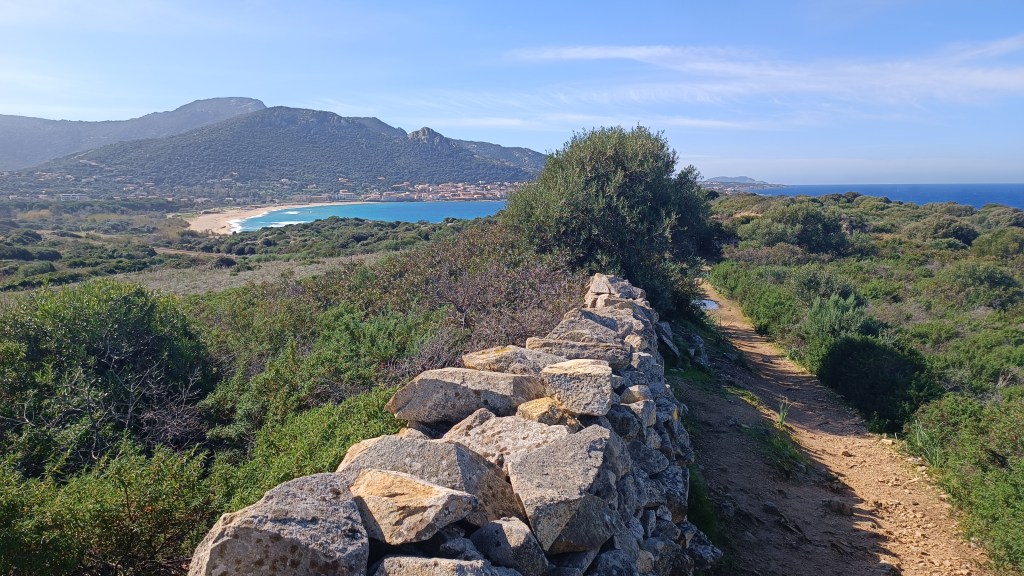
Facing the tower, take the path to the left along the coast, after 500m the path drops down to the beach with a cord to assist you. After 10m, you re-join a coastal path by heading up a steep scramble left at a simple cairn. The path from here on is easy to follow climbing and dropping through shady ravines, following faded ORANGE waymarking along the coast. On reaching a newly tarmacked road, turn right, dropping down the road to the rough parking area at the end. Just before the parking area, head left across the rocky coast, shortly dropping down to the black beach at NONZA. Cross the black beach, you will be heading uphill between the ruins and the whitewashed stone hut.


- Nonza Beach (to Nonza) 0h30 / 1km
From here the path climbs stone steps between the garden walls of NONZA. After around 15 mins you reach the white and blue FONTAINE DE STE JULIE. Head right here, continuing on the climbing stone path, after 10 mins you arrive at NONZA, turn right along the road.

