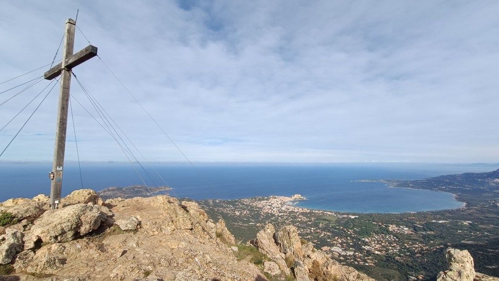
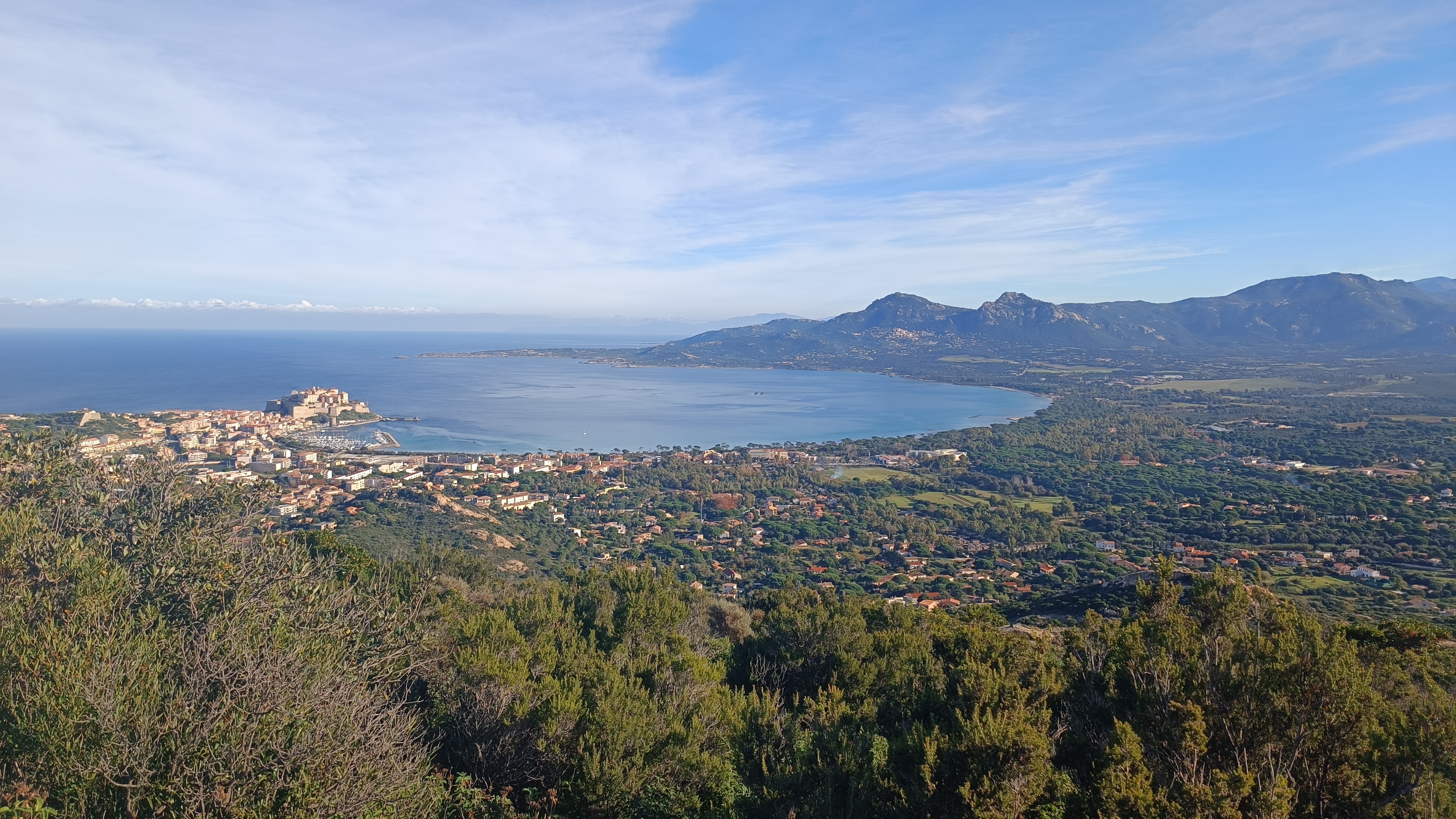
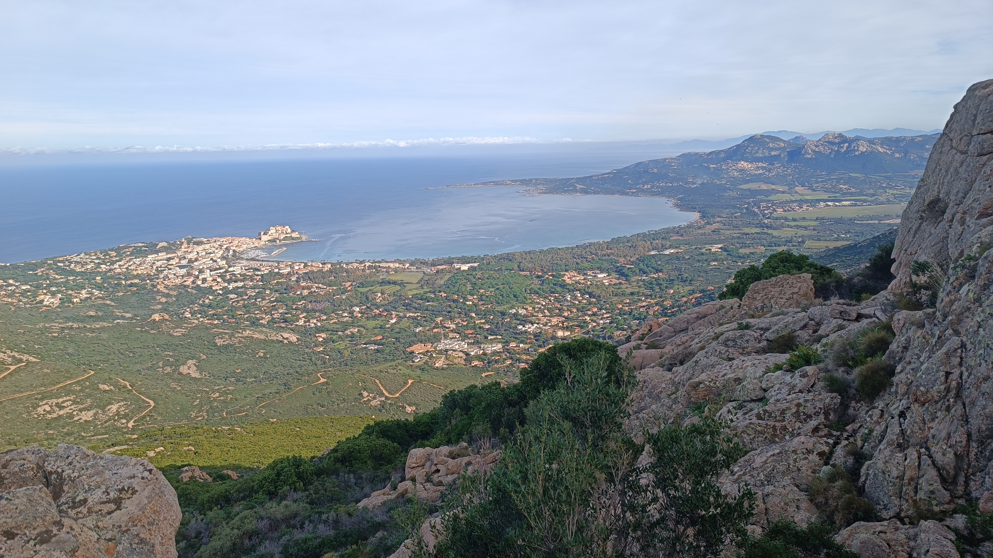
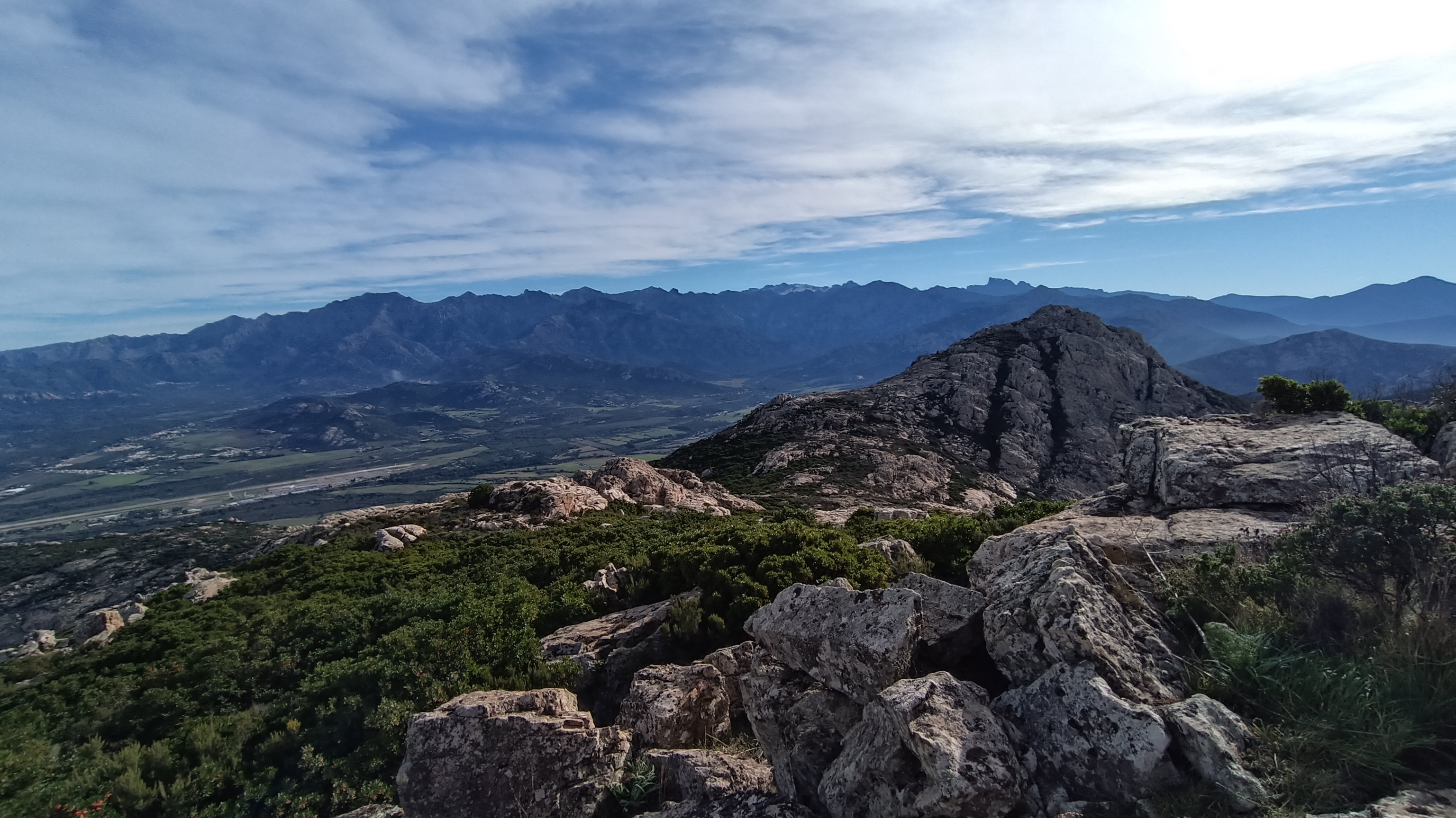
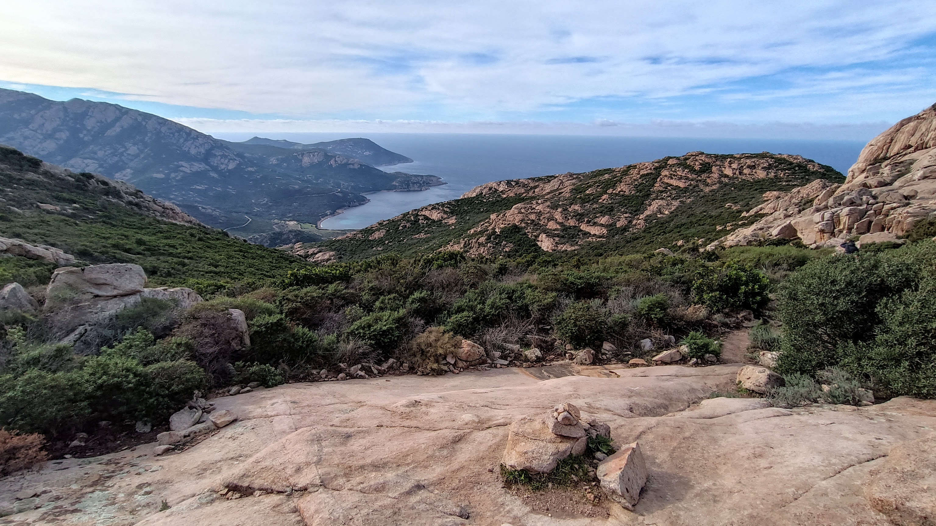
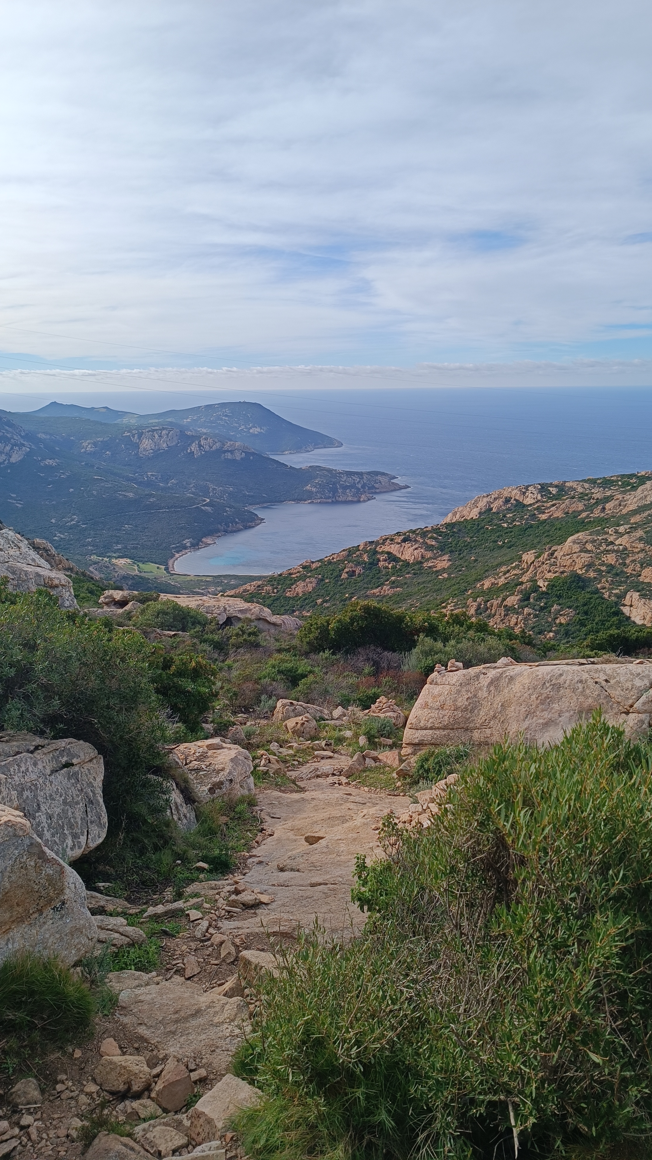
The summit of Calvi (703m) offers a hike to a viewpoint with panoramic views of the town and its citadel, the west coast of Corsica, the Bay of Calvi, and the surrounding peaks. Crowned by a magnificent cross and the training ground for the 2nd Foreign Legion Parachute Regiment (2e REP) and the Austrian Alpine Club, you’ll be treated to a truly breathtaking panorama.
“A perfect summit above Calvi.”
A little bit of history: this summit is often called “the Austrian Cross.” It was indeed hikers from the Austrian Alpine Club of Calvi, based in Calvi for many years, who paved the way in the early 1960s. The first iron cross was made from scrap metal and installed in 1964. In 1969, it was decided to replace this cross, which had deteriorated over time, with a wooden one. The cross, 7 meters high and weighing 400 kg, was made in Vorarlberg, Austria, then transported by a group of about twenty men in a record time of 2 hours and 15 minutes, before being erected on site. The cross has been replaced several times by helicopter since then, but it remains an impressive symbol visible from afar.
8km, 4h00, +/-465m YELLOW / RED / Cairns Food: CALVI, all facilities
- Notre Dame de la Serra (to Ravin de Pruno) 0h30 /2km
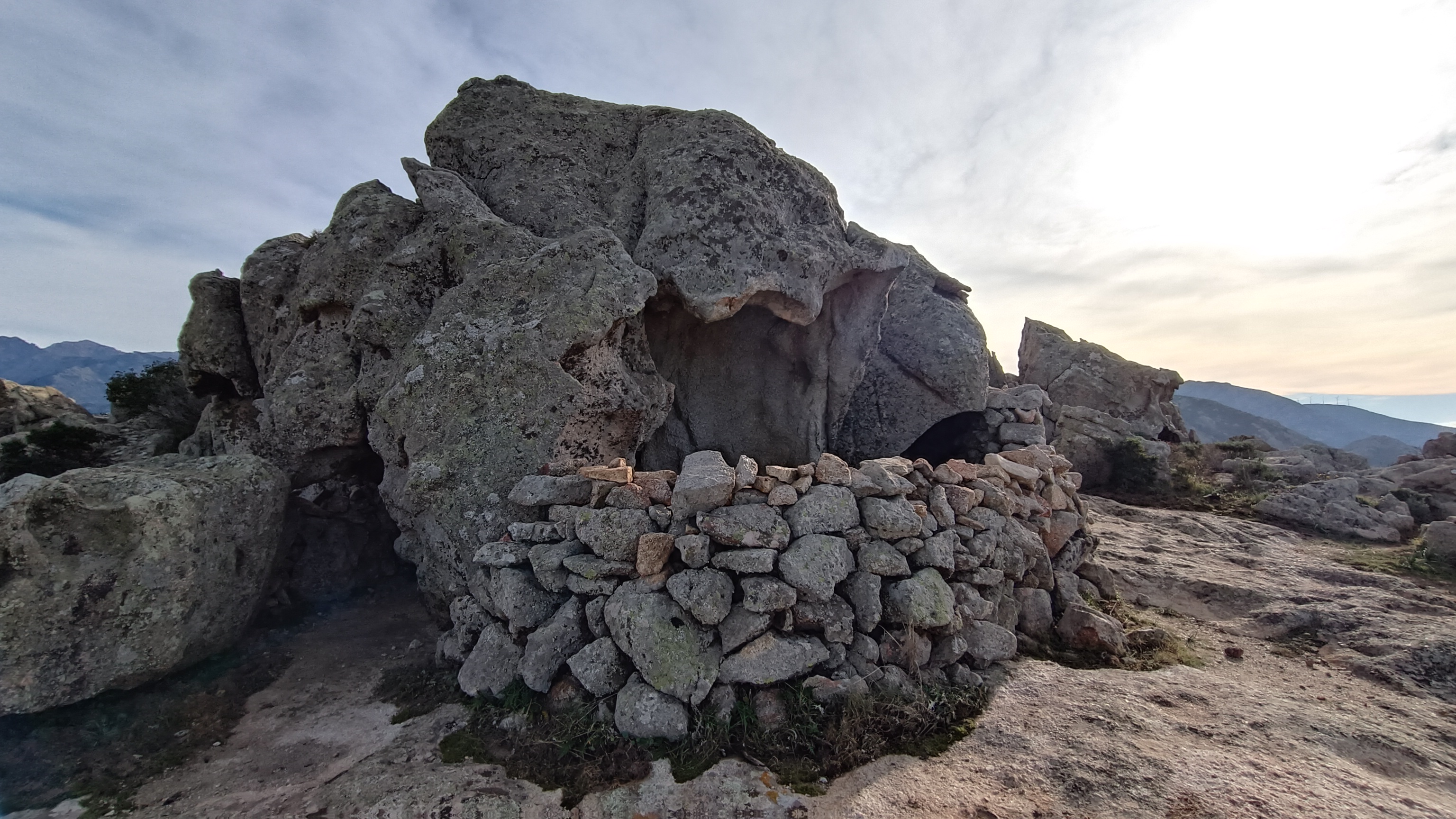
From the parking area at NOTRE DAME DE LA SERRA, with your back to the entrance, walk south towards the dirt track and immediately take the path on your right marked in YELLOW and with a SIGN for CAPU DI A VETA. Follow the path as it winds through the maquis shrubland, passing numerous TAFFONI (rock formations) and several ORRI (rock shelters). You can see your destination ahead. Descend to a large clearing in the pine trees used for motocross, cross it, and climb the path through the pines opposite. The path winds past PUNTA CATAROJO (281 m) before descending to a wide dirt track (you can see a shooting range and the sea on your right) and a valley descending to the left. (Your return route follows the track from here: SENTIER DU RAVIN DE PRUNU).

- Ravin de Pruno (to Bocca Scassata) 1h00 /1.5km
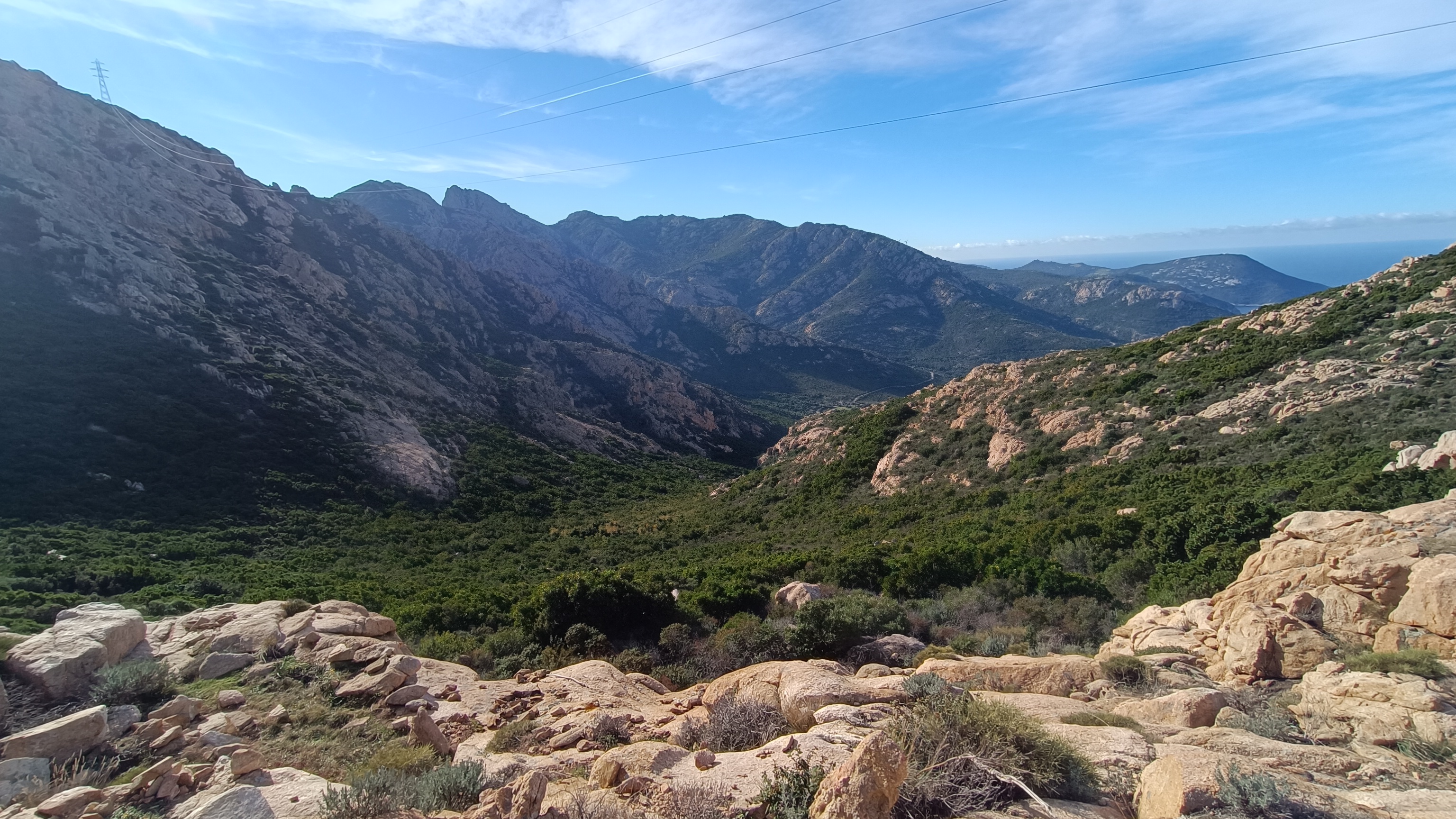
Continue straight ahead on the track and begin the ascent. After 250 m, take a steep path on the right which rejoins the same track after about 100 m. Turn right again, following the track for 200 m, and then climb to the left in front of an electricity pylon. Shortly after the pylon, the path forks left into the maquis shrubland to reach a first rocky ridge, then descends on the other side to begin an undulating balcony path that clings to the rocks, with some sections equipped with chains. After 500 m, you reach the first pass, Bocca Scassata, with a view of Calvi to your left and the bay of Nichiareto to your right.
- Bocca Scasata (to Capu di a Veta) 0h30 / 0.5km
From Bocca Scassata, the path climbs increasingly steeply to Capu di a Veta. Keeping the cross on your right, the path reaches the summit after 30 minutes. Enjoy the view before turning back.
For the return (2h00), follow the same path or at the PRUNU RAVIN, you can take the track back to NOTRE DAME DE LA SERRA, keeping CALVI and the plain on your right.


