
A great intraduction hike in the Bonifatu forest. The shaded path winds its way up through the pine forest to the magnificent Bocca Finnochi.
Hiking loop in the Bonifatu forest.
7km / 3h30 / +450m / -450m, RED/BLUE / Provisions in CALVI
- Auberge de la Foret (to Punta di FICAGHJOLA) 2h00 / 4km
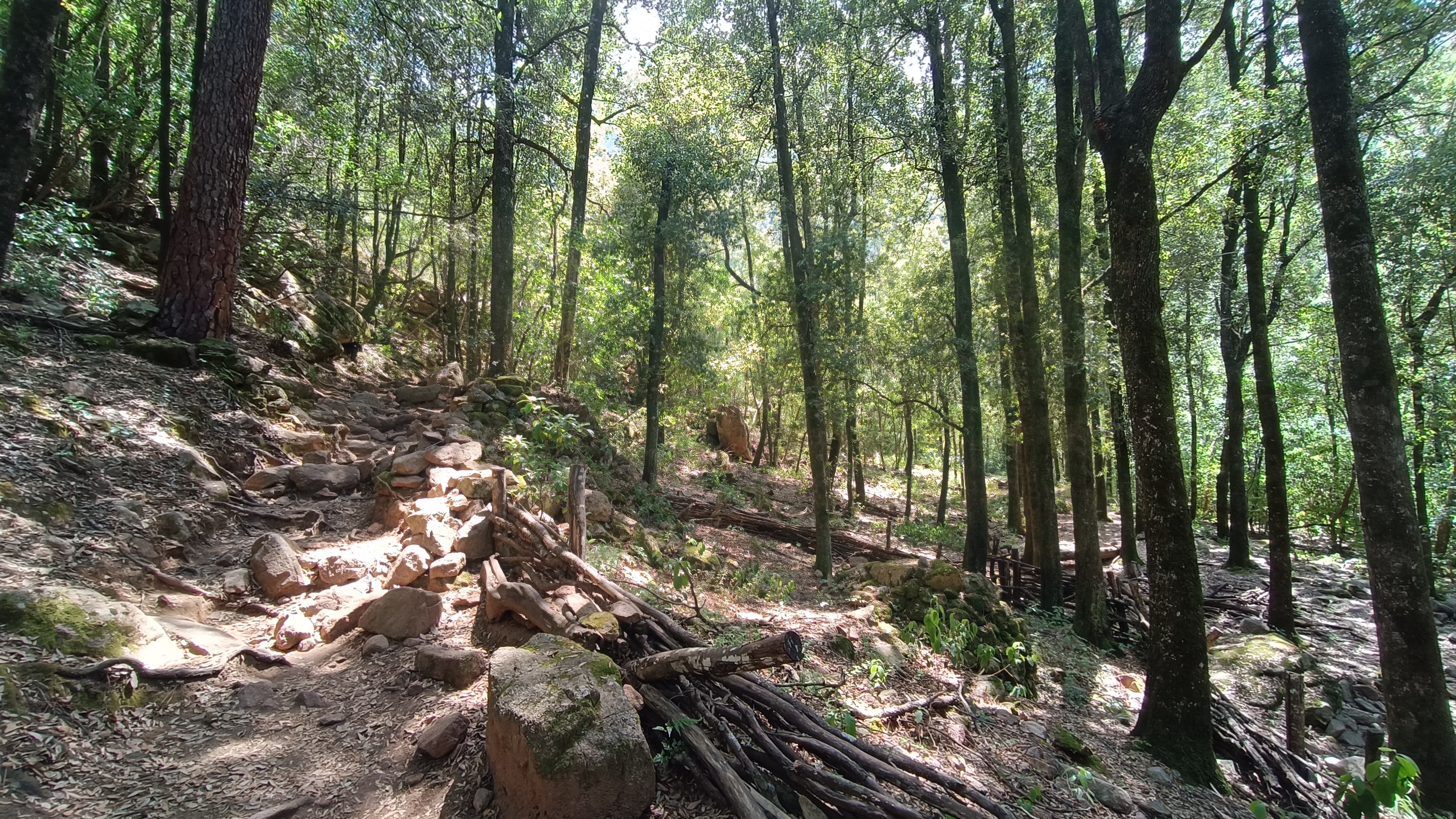
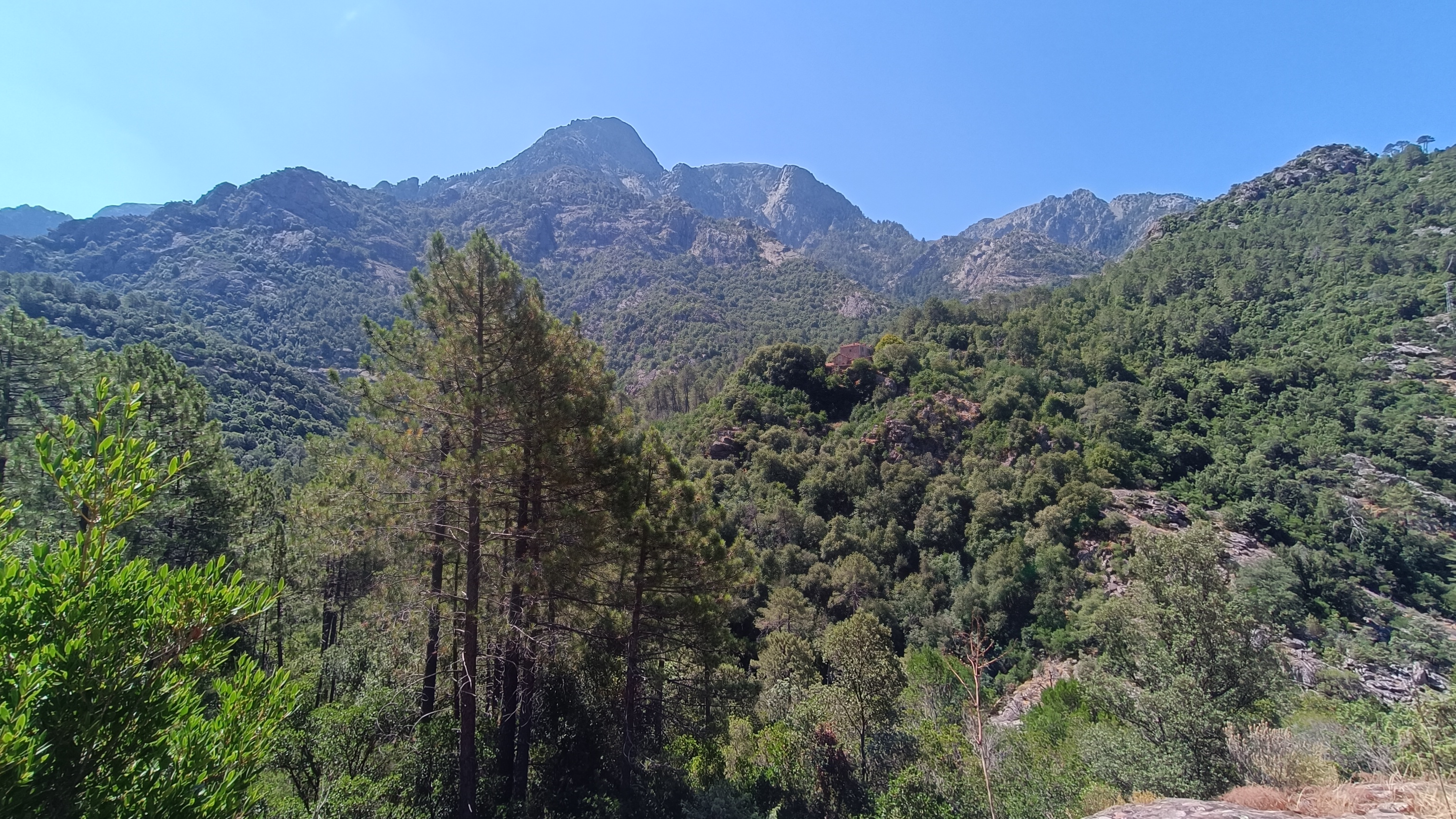
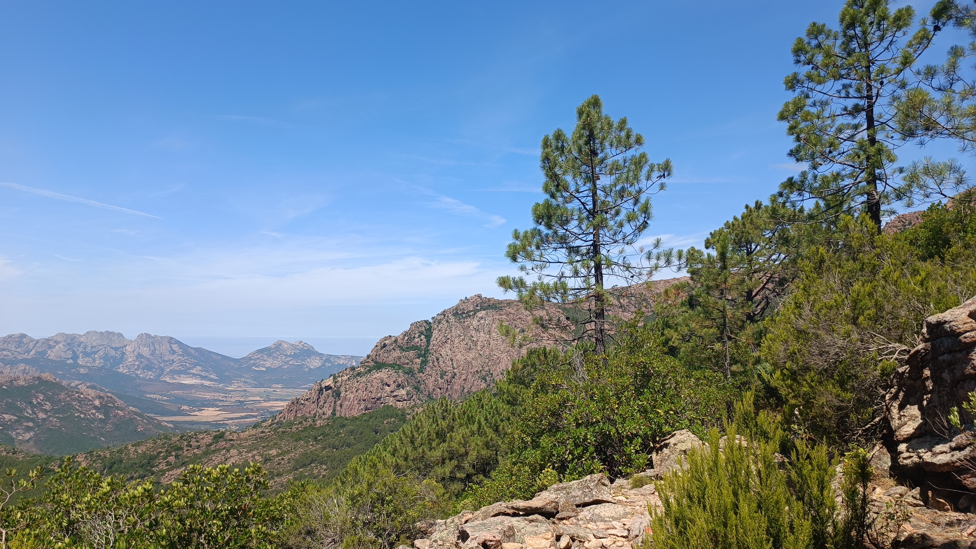
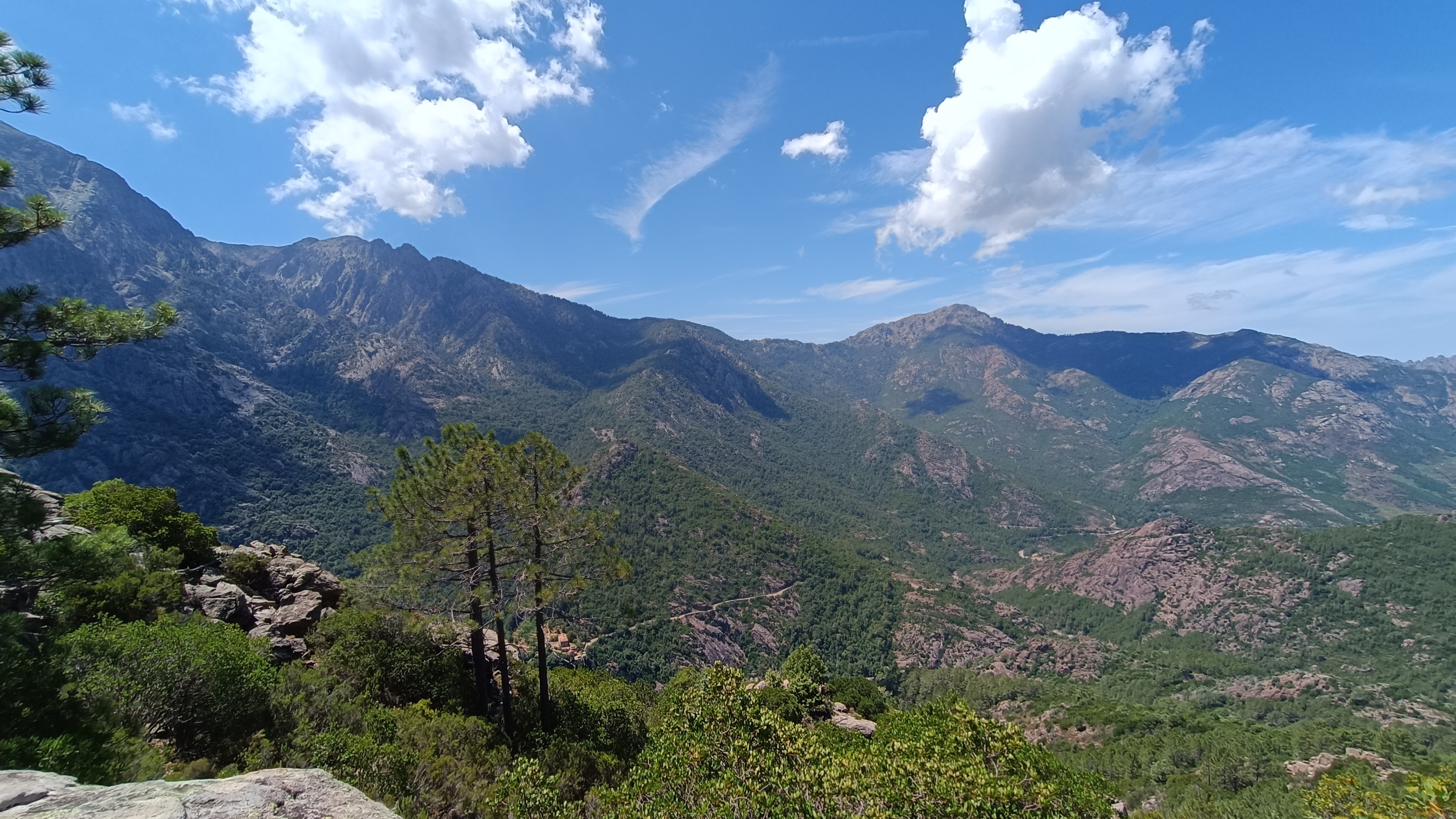
Park in the car park in front of the AUBERGE DE LA FORÊT in Bonifatu; the trailhead is located in the lower car park. Descend the rocky path shaded by holm oaks and marked ORTU DI U POBBIU and BOUCLE DE FINNOCCHI / BOUCLE DE FICAGHJOLA. After 5 minutes, you will reach the footbridge that crosses the FIGARELLA stream (altitude 490 m). Cross the bridge and take the path to the left that runs alongside the stream above. After 75 m, continue straight ahead. The path is easy to follow thanks to the RED markers that appear and disappear in the shade of the forest. After a few rocky sections at the beginning, the path becomes clearer as it descends and opens onto the valley with a view of the forester’s house and the peaks opposite. After about 1 km, the path turns sharply right, leading away from the valley, and begins to climb, parallel to a stream, zigzagging through the trees. The ascent is initially gradual, then culminates in a steeper section. It lasts about 45 minutes. You finally reach a flatter section under the pine trees, and the trail leads to the right. It becomes easier to walk and descends slightly, then opens up to a breathtaking view, with a final climb to reach a pass at Punta di Fichaghjola, the highest point of the hike (904 m).


- Punta di Ficaghjola (to Ficaghjola path) 0h30 /1km
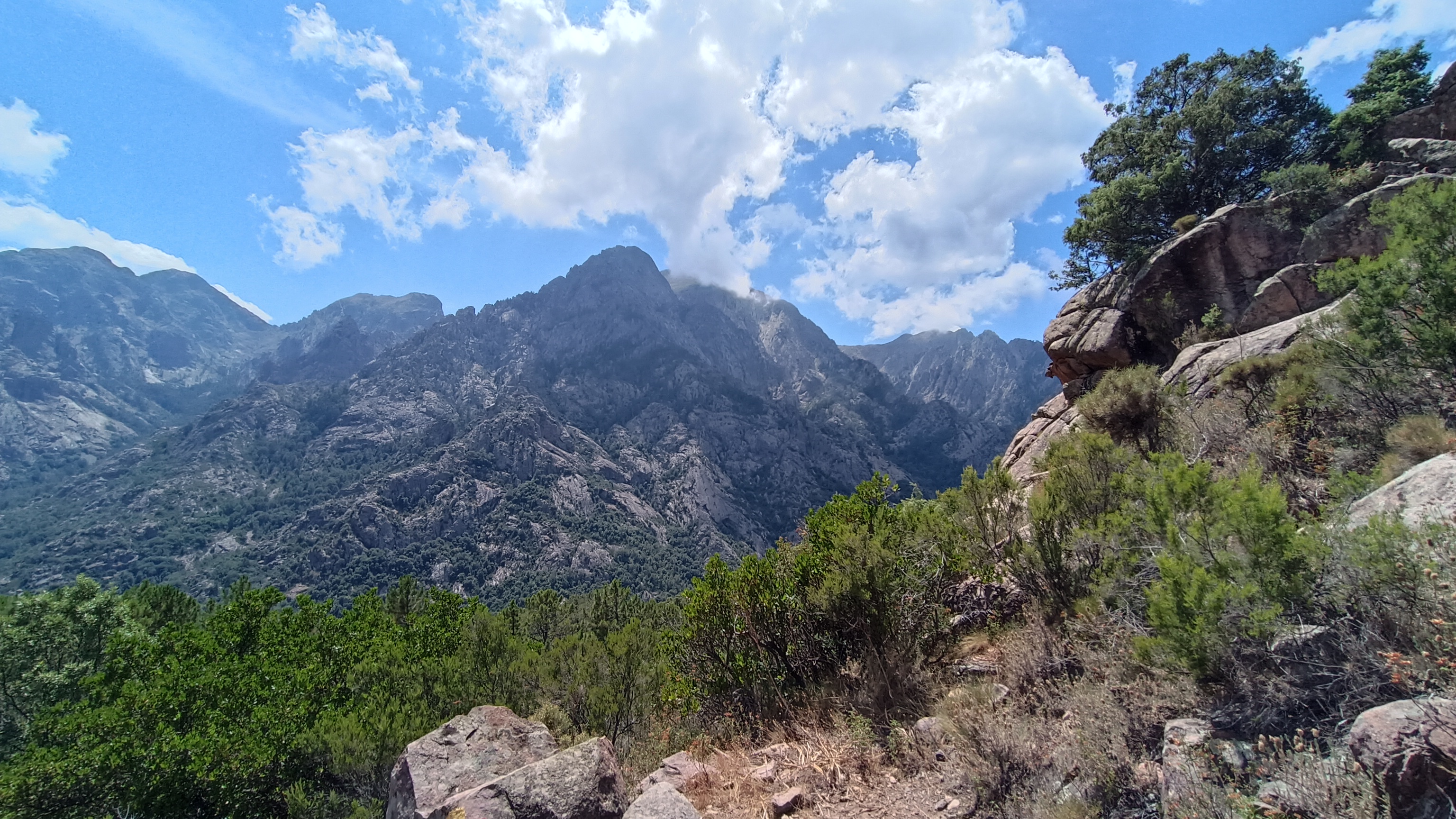
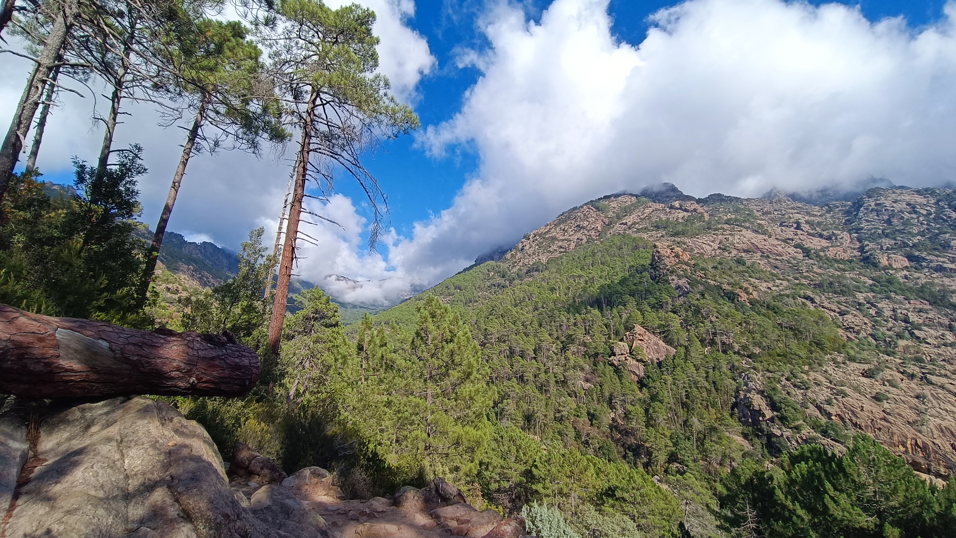
From the pass, continue on the trail marked in RED, ignoring the trail marked in YELLOW on your left, which comes from the Ortu di u Pobbiu refuge on the GR20. The marked trail descends towards the Cirque de Bonifatu and offers magnificent mountain views. After 1 km, you will reach a T-junction with the FICAGHJOLA loop (743 m altitude), marked in BLUE. * After heavy rain see below.
- Junction Ficaghjola path (to Auberge de la Foret) 1h00 / 2km
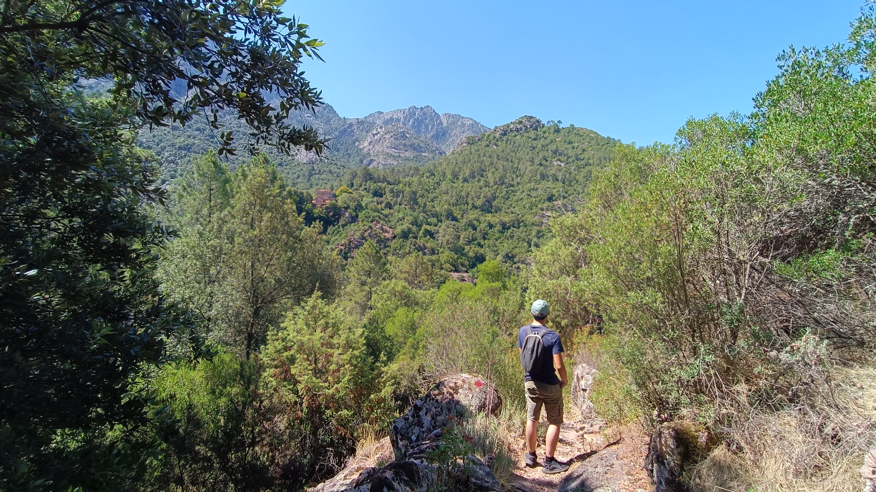
Take the pleasant descending path to the left, offering views of the mountains further down the valley. After approximately 600 m, you will reach the MELAGHJIA stream, which you will need to ford. After the stream, turn right and join a higher path marked in YELLOW and BLUE. Follow this path along the valley on an old forest track, the RONCA trail. After 1 km, you will ford the LAMITU stream after the bridge has been destroyed, then turn right again, following a track to the inn.
*After heavy rains, take the FICAGHJOLA LOOP to the right, heading towards BONIFATU, following the initially flat path through the pine trees. The trail then begins a rapid descent (marked with RED and BLUE waymarks), with occasional views of the Bonifatu circus. Just before the junction, the path levels out and you’ll see an old charcoal burners area. Join the arrival trail, turn left to reach the footbridge and then make your way back to the carpark.


