
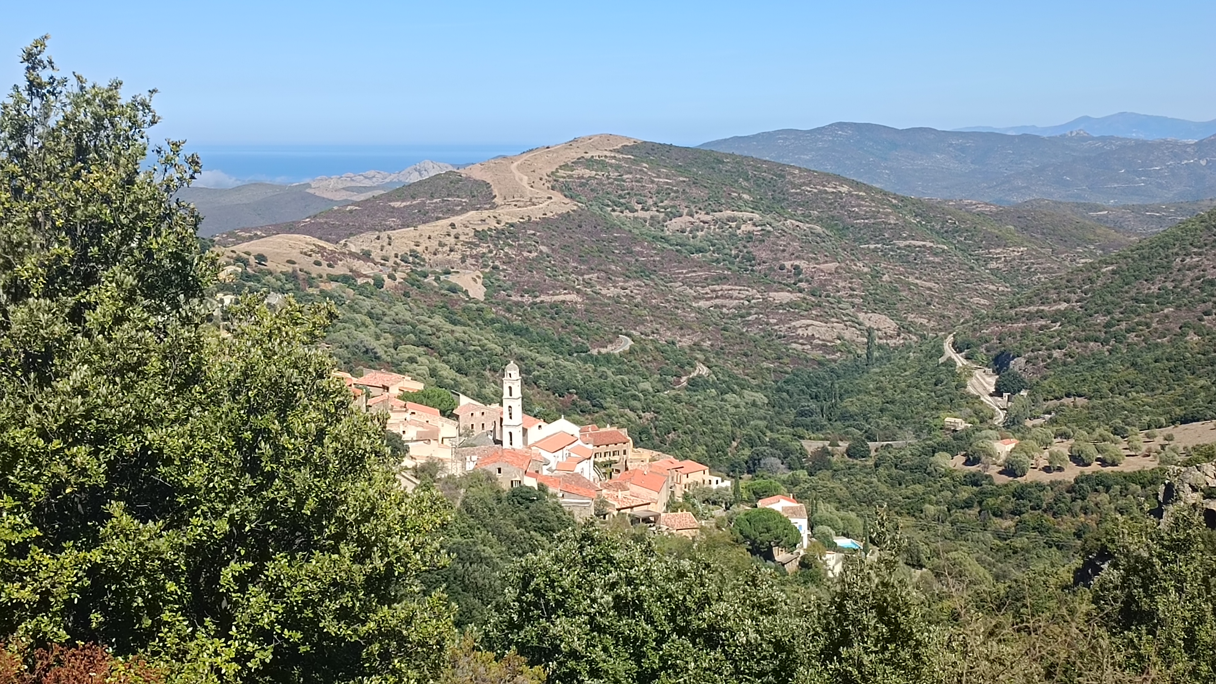
A challenging loop from village to village in this hidden corner of the Balagne.
A loop walk with views over this hidden Balagne.
12km / 4h30 / +670m / -670m, YELLOW
- Belgodere (to San Antone) 4km / 1h30
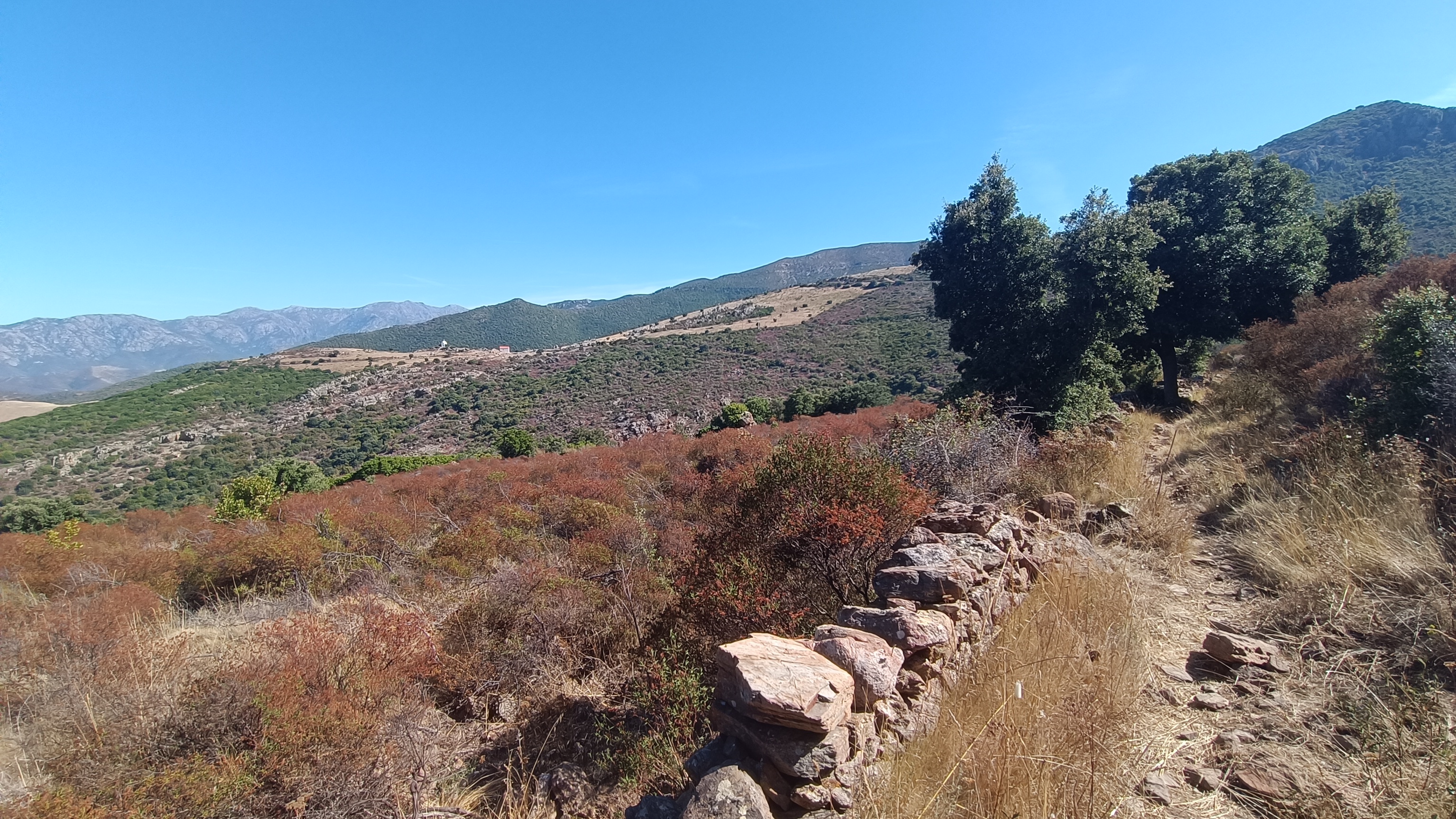
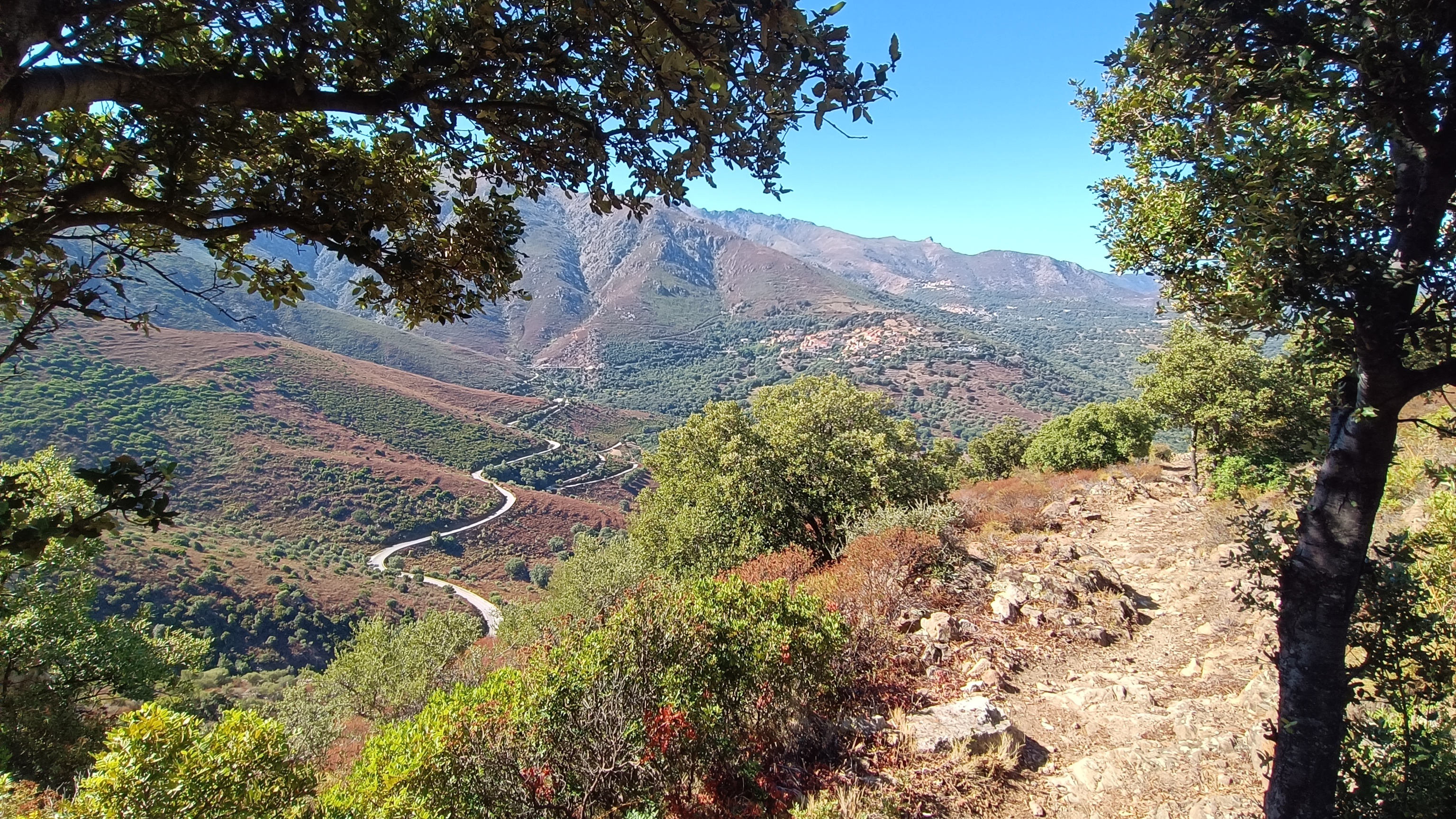
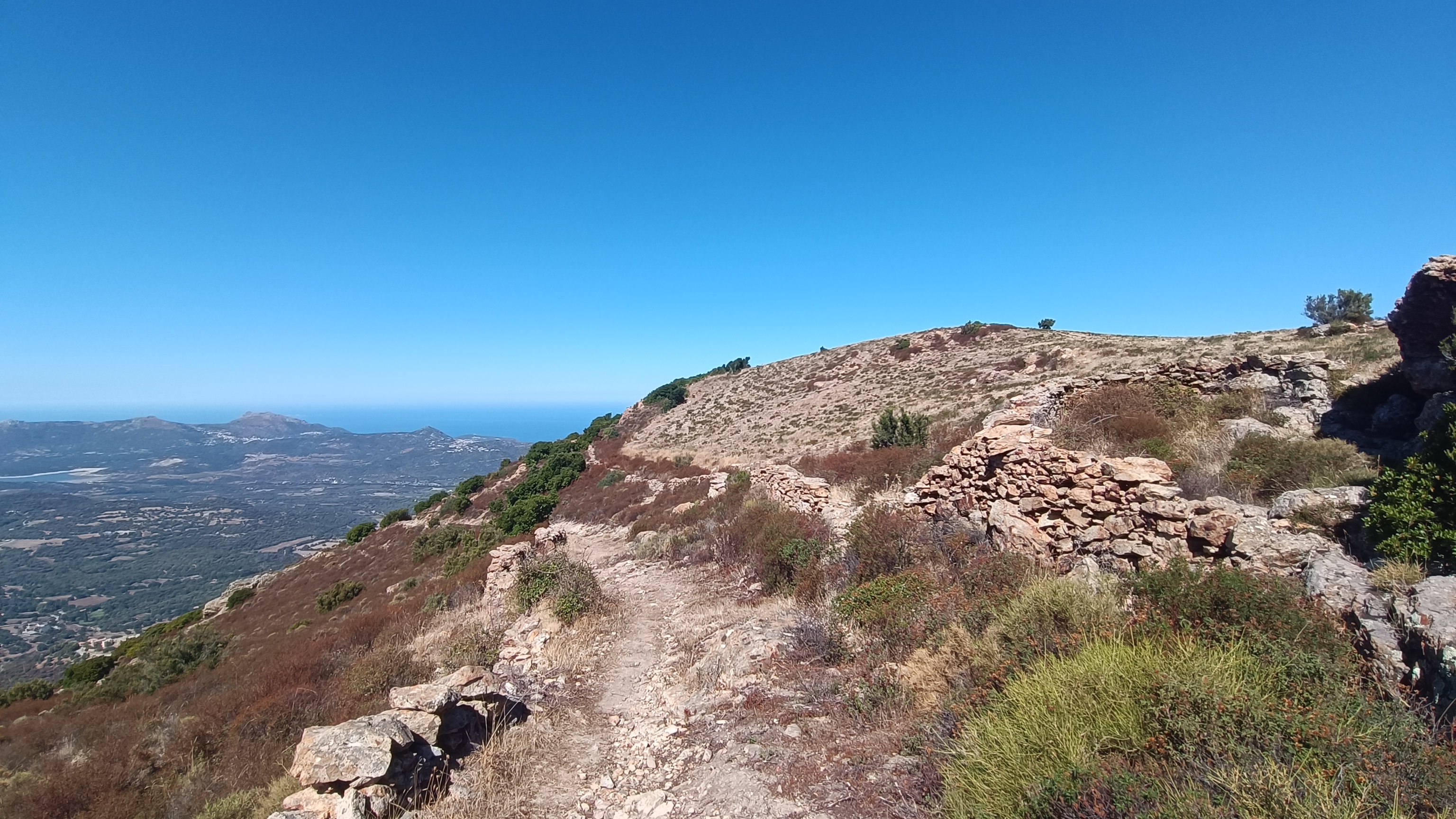
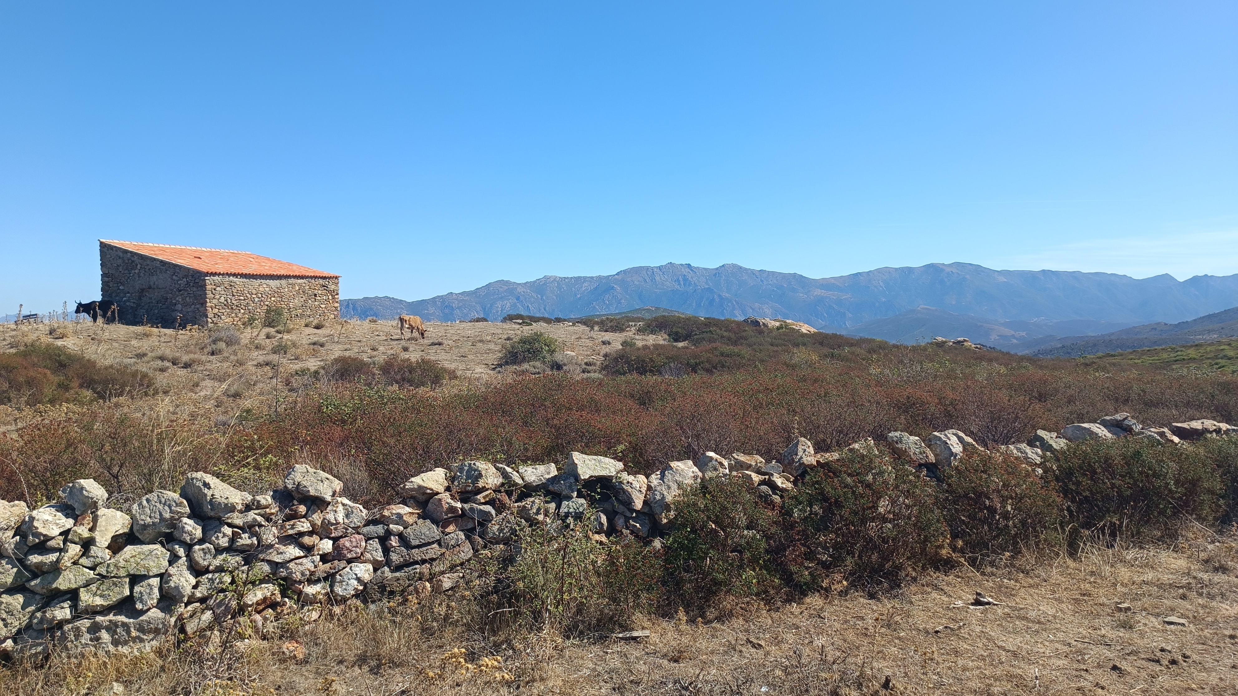
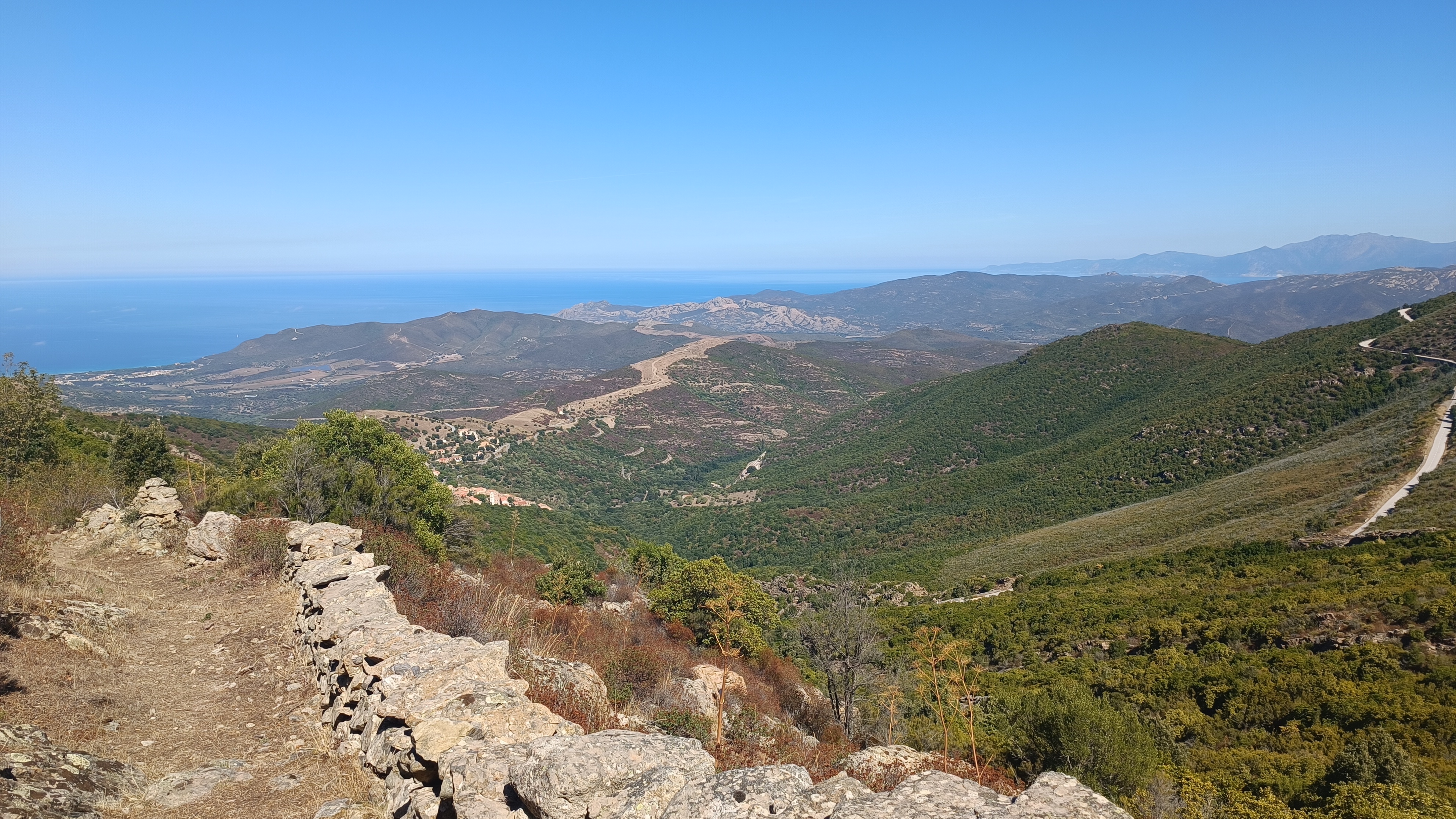
Head towards the Church of San Tumasgiu XVII, then ascend towards the Confraternity of Sant Stefano, following the path and yellow markers to the top of the steps leading to the upper part of the village, where you’ll find a paved road. Turn left and descend gently along this road until a concrete track rises on your right after 300 meters. Follow this track, keeping an eye out for the yellow signs for the San Antone Loop. The concrete ends at the water station, but the track continues; follow it to an antenna. From there, a path turns sharply left and begins a steep climb through low scrubland of heather and rockrose, eventually joining the beautiful old paved and walled mule track that once connected Corte to the Balagne region. During the ascent, take time to admire the view around the Regino hill towards L’Île-Rousse. After 2 km, you reach the ridge. Continue along the wide path that turns left towards a sheepfold or PAGLIAGHJU, at SAN ANTONE, the site of a former HERMITAGE, and take the path near the wall. The view opens up in all directions, and you arrive at a junction of wide paths with a sign indicating SAN ANTONE LOOP.
- San Antone (to Palasca) 3km / 1h00
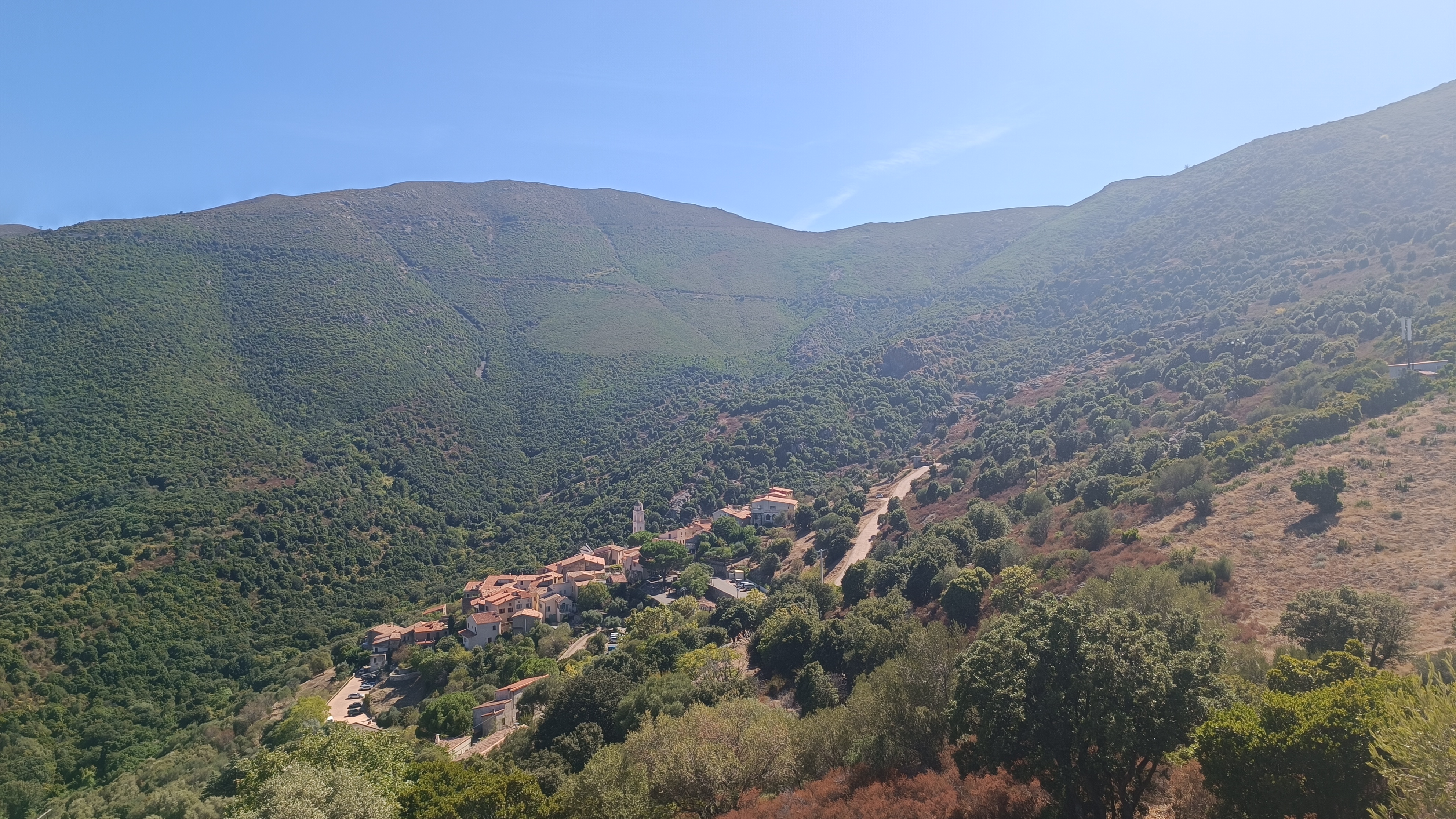
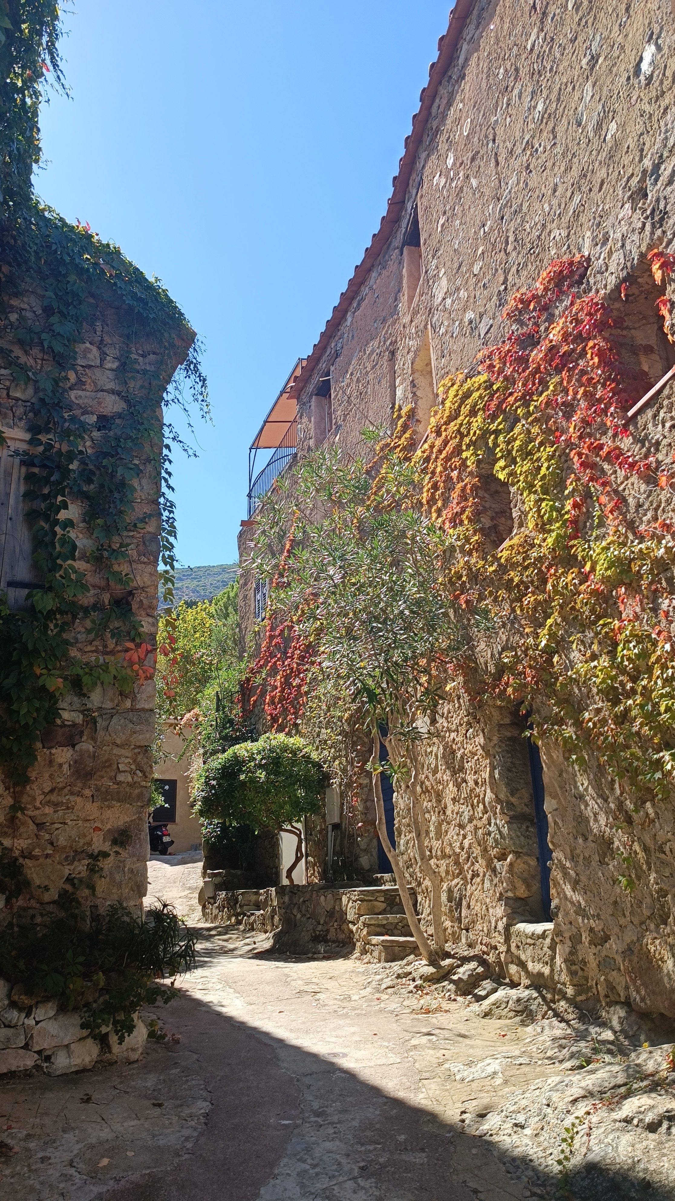
Turn left onto a very wide track. After 200 m, turn left again onto a path that descends through ferns and an abandoned CHESTNUT grove. The path follows a stream, then at a signpost, continue straight ahead and soon begin the switchback descent towards the RT301 road under the STRAWBERRIES and HOLM OAKS. Once on the road, turn left, walk for 350 m before descending to the right of the road. Follow the path that zigzags up to the top of the village of PALASCA. Explore the village.
- Palasca (to Belgodere) 5km / 2h00
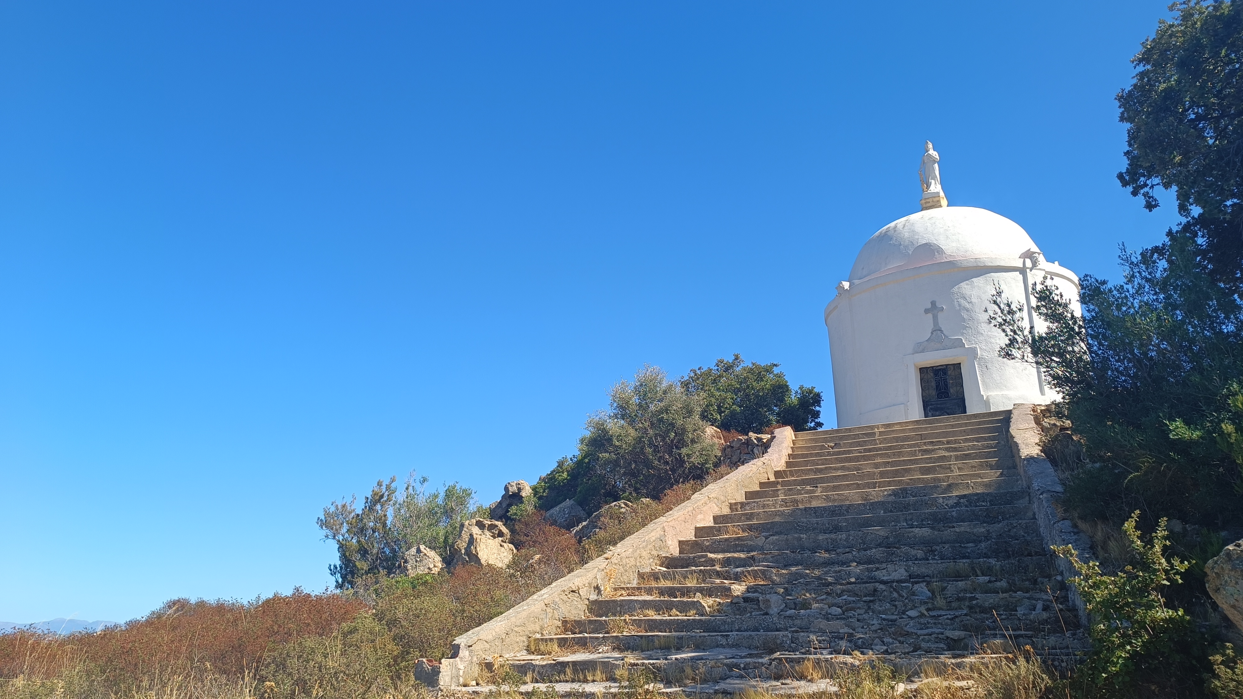
From the village church, go up the steps near the town hall and turn right towards the parking area. Pass through the upper parking area, follow the road, and then take the uphill path to the left to reach San Sebastiano and its recently renovated chapel. Take the D163 road to the left as you leave the chapel. After 150 meters, a track branches off to the right. Follow it to the stream and continue on a path that leads back up to the D163. Follow the road for another 600 meters. A wide path branches off to the right at a watering trough from the Col de Casella.
Descend here on a steep, stony path that joins another path at the abandoned hamlet of Quercioli. Follow the signs to the left indicating Belgodere Boucle San Antone and continue down the path to the RT301 road. Turn right and then immediately left. Follow the small road for about 700 meters, before the path climbs to your left towards Belgodere. The path ascends gradually and joins a track at a beautiful fountain. Turn right here and you will reach the road and the village of Belgodere.


