
“An easy going loop from village to village exploring PIGNA and CORBARA before rejoining the coast.”
The VARCALE site consists of dune areas between the sea and the railway line. Through paths bordered by dry stone, the routes lead from the sea to the perched villages; the old barns tell of a primarily agricultural past, while the perched villages reveal another story.
11km, 3h30, +/-365m YELLOW / BLUE / Cairns Food: ALGAJOLA, all facilities
- Algajola (to Pigna) 4km / 1h15
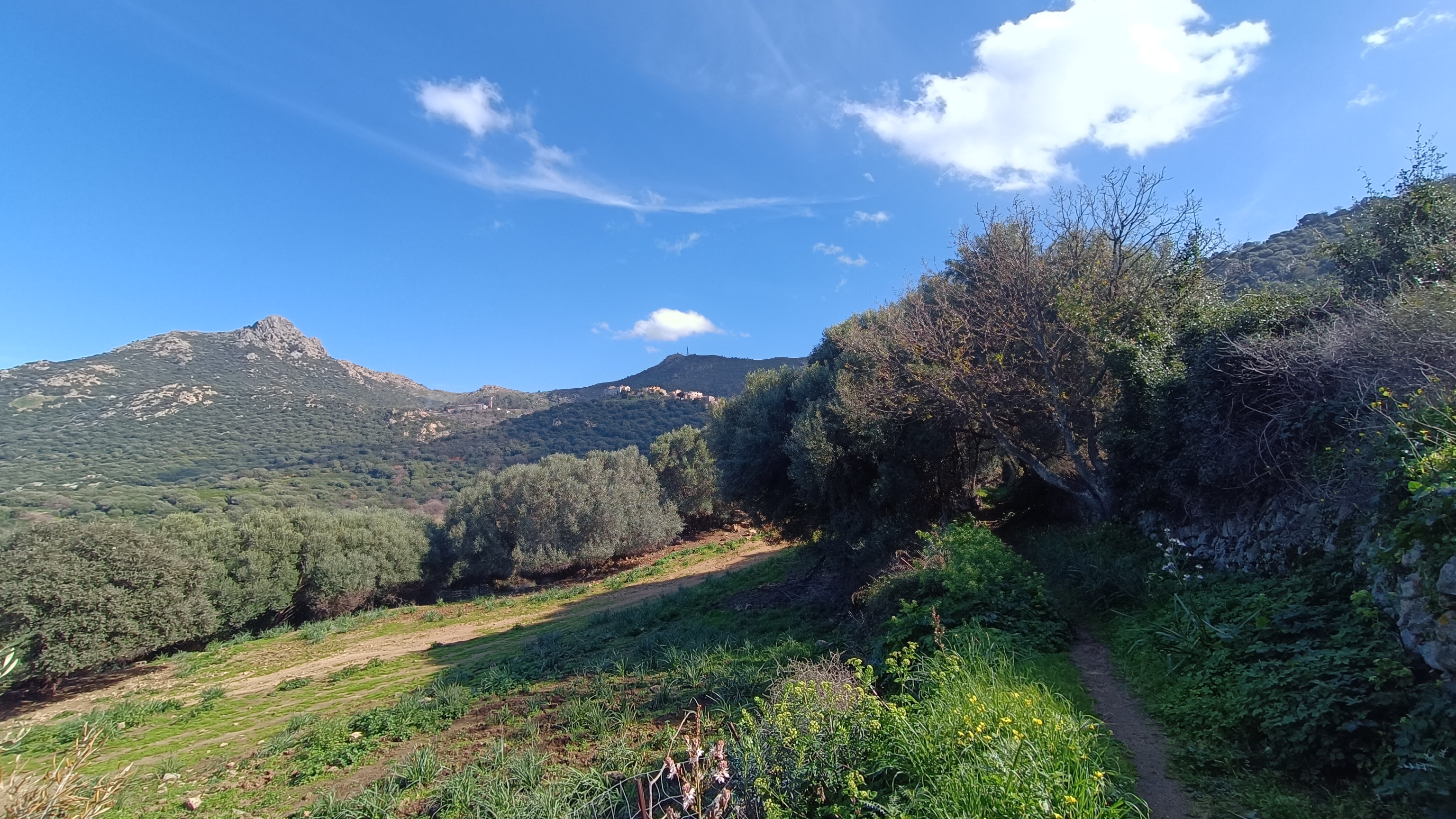
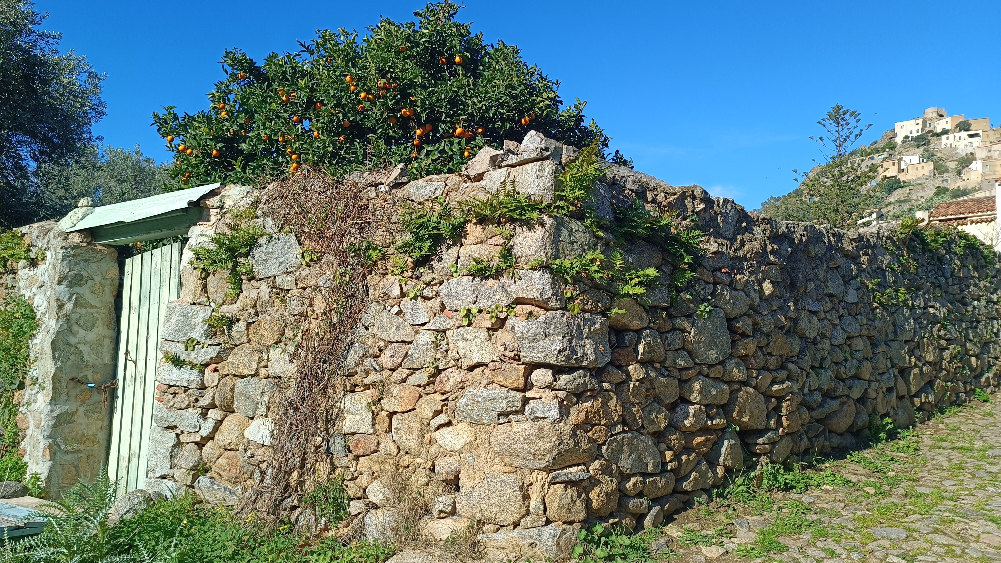
With your back to ALGAJOLA, continue straight ahead on the track that runs alongside the large boulders. Cross the drawbridge through the reeds on the left side of the track, then turn sharply right, following the sign for BOUCLE DE PIGNA CORBARA VALCALE, to go under a double tunnel. Follow the path (sometimes muddy) that runs alongside the campsite, marked in YELLOW and BLUE. After about 5 minutes, you will reach another tunnel that goes under the main T30 road, with a makeshift bridge. Go through it and continue under the tunnel to reach the sign for CAMPING CANTARETTU. Leaving the T30, continue along the road past the campsite. You will come to a T-junction; turn right for 20 meters, then take the mule track on the left that climbs between the stone walls. Continue along the path, cross a private road leading to a house, and continue straight ahead, following the signs for PIGNA. Continue uphill; the path widens, and at another T-junction, the path turns sharply left towards PIGNA. Follow the track, then the path that branches off to the left, until you reach the village of PIGNA. Explore the village’s narrow streets. PIGNA is home to many artisans and the Casa Musicale (musical house).

- Pigna (to Corbara) 3km / 1h00
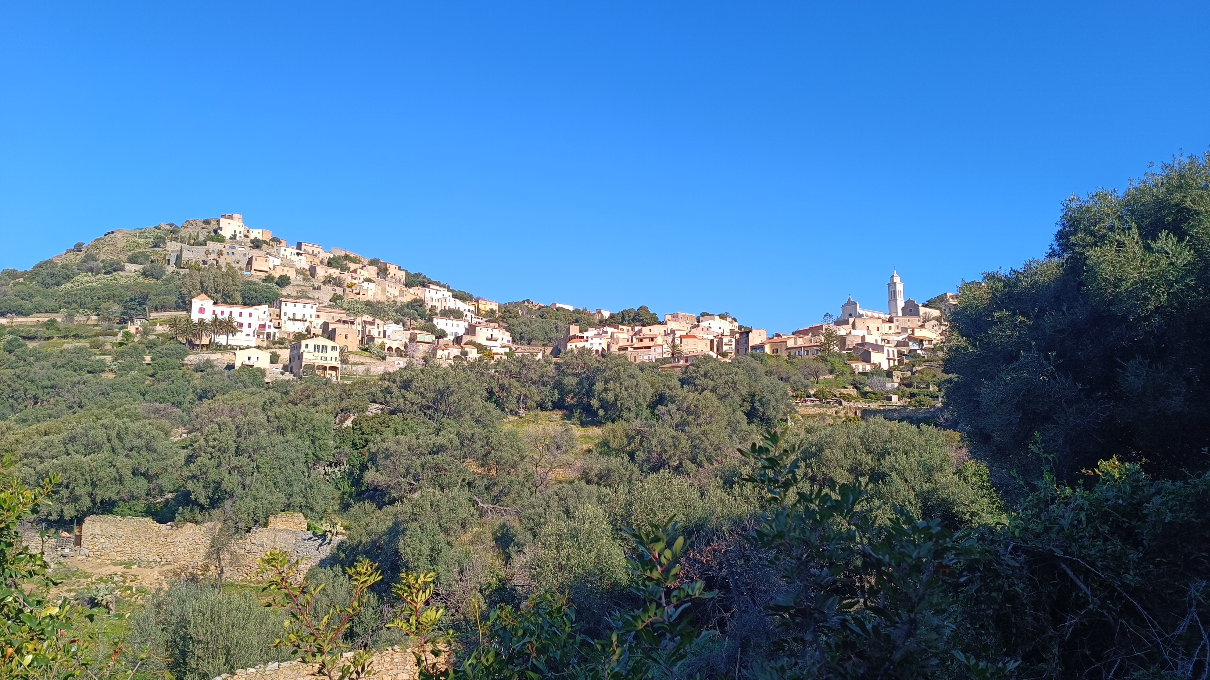
From the church, pass the entrance to the parking area, then take the lane on the left and turn left again ata funeral chapel to follow a track towards CORBARA. After about 150 meters on the track, a path descends to the right and crosses a small stream. Follow the relatively flat path through the maquis shrubland with views over the Aregno plain. The path enters the village of CORBARA by the wash house located in the lower part of the village. Take some time to explore the village.
- Corbara (to Algajola) 4km / 1h15
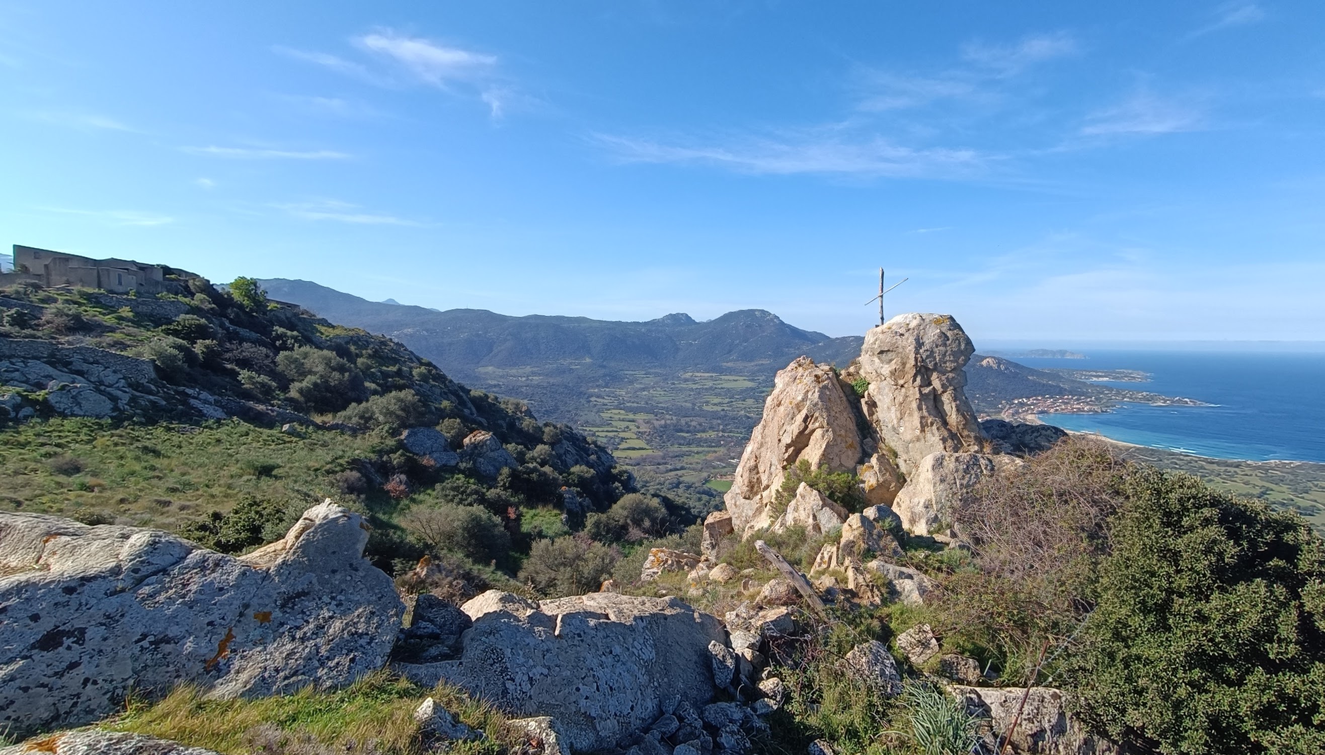
From the center of the village of CORBARA, begin by climbing towards the highest part of the village (YELLOW MARKERS). Walk up the narrow streets (you will see the tall bell tower of the Collegiate Church of Nunziata, dating from the 17th century). From the church square, turn right past a large house and head towards the Chapel of St. Roch. From there, follow the yellow markers uphill towards the Church NOTRE DAME DES SEPT DOULEURS.
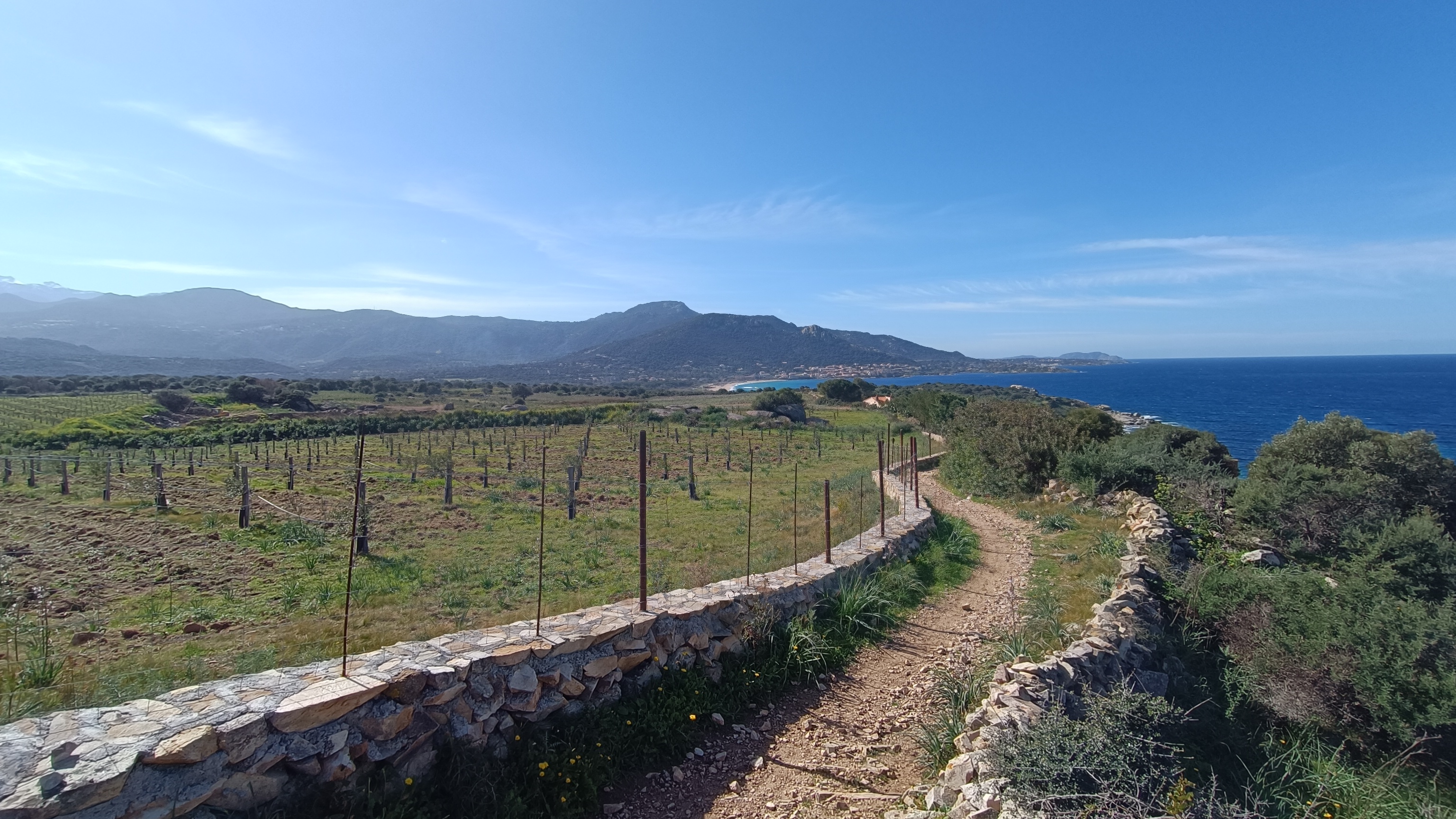
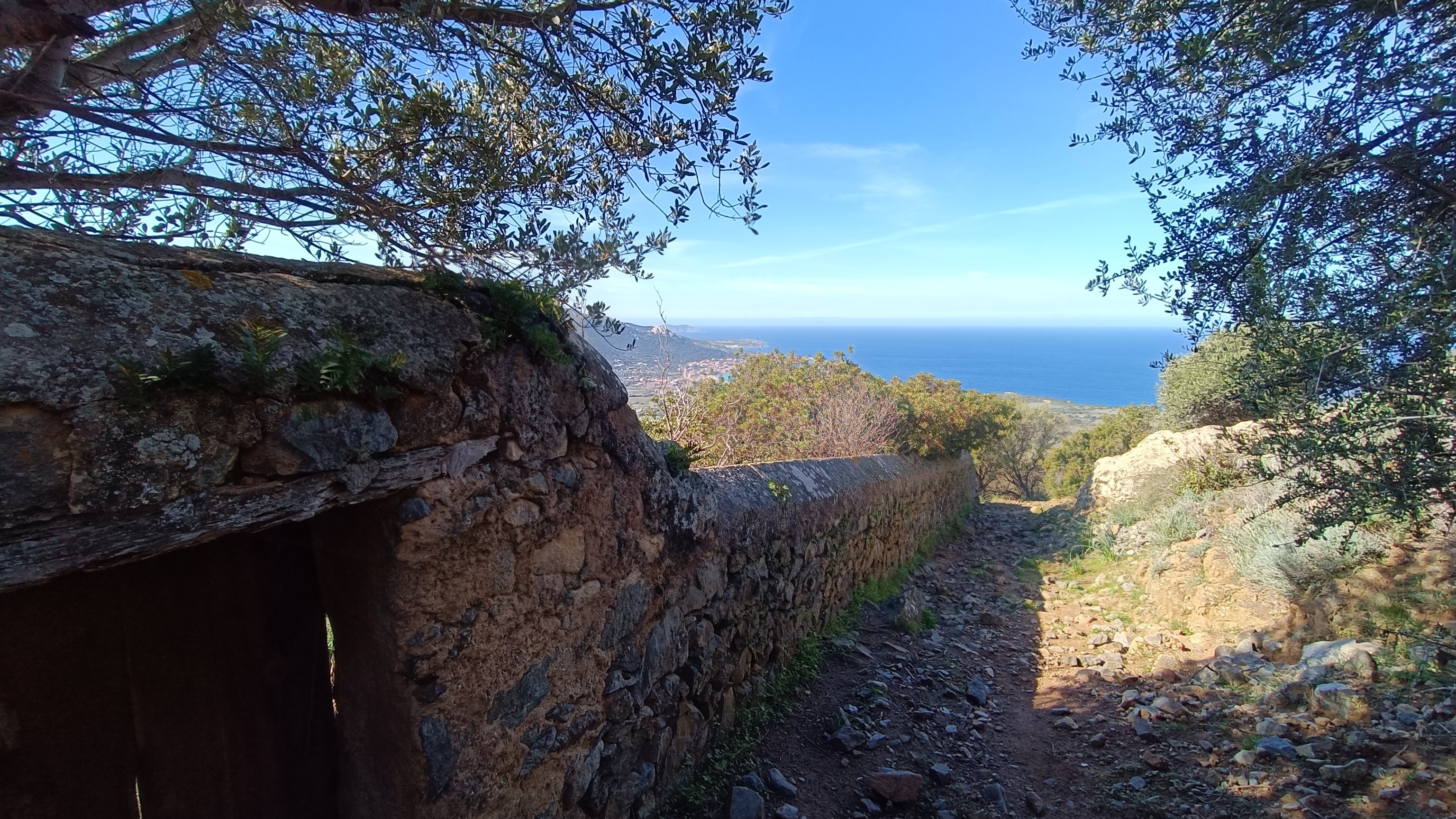
After the viewpoint, to descend, follow the yellow markers, zigzagging through the village (generally on cobbled streets). Turn right in front of a new house on a bend. The path runs alongside a garden wall to a viewpoint, then descends towards the D151 at the Chapel of St. Peter and St. Paul. From there, take the wide path that starts just below the road and leads into a residential area after 500 meters. Continue straight ahead, passing the villas of Carbunaja, to reach the D313. Turn left and walk down the road for 500 meters to the T30. At the roundabout, cross the road carefully and continue straight ahead into the residential area of Davia, following Avenue des Asphodels. After 100 meters, turn left onto a track (T-sign) and continue until it becomes a footpath, running alongside newly planted olive groves towards the sea. After 1 kilometer, you will reach a pedestrian crossing. Turn left to return to the parking area you left earlier. Walk through the tamarisk trees to explore the beach and the Punta Varcale headland before returning to your car.


